Duluth’s post office opened in 1857, and 43% of its homes were built before 1940
More historic than 86% of U.S. towns · #8 of 273 in Minnesota. What drives it
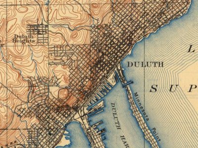
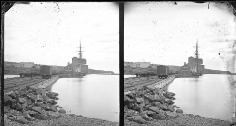
43 places in town are on the National Register, among them six historic districts with 104 buildings between them. Below: 11 old photos and papers, maps from 1895 on, and the census since 1860.
The Duluth post office opened in 1857, the earliest record of the town by name. Wikidata gives 1679, the date of an exploration of the area, not of the town. Eight smaller post offices, Oneota (1856), Fond Du Lac (1857) and Smithville (1888), opened inside today’s city and later closed.
First census: 80 in 18602020 census: 86,697169 years
How historic is Duluth?
A
More historic than 86% of U.S. towns, on its age, its old homes and the National Register.
Founding year: the first Duluth post office (Blevins & Helbock, CC0). Wikidata: 1679.The full story ↓
History grade
What drives Duluth’s History grade
On its age, its old homes and the National Register, Duluth is more historic than 86% of U.S. towns, #8 of 273 in Minnesota. Its share of homes from before 1940 holds the grade up; its age pulls it down.
A
HistoryA character grade: shown, never part of Duluth’s overall grade.
Minnesota towns list about as much on the Register as the country (a typical Minnesota town has 2.1 per 10,000 residents, the U.S. 2.4), so Duluth’s 18.5 sits above most of its state (82% of Minnesota towns have fewer) while its 161 historic buildings outnumber those of 92% of U.S. towns.
How sure. Graded on any two of the three inputs instead, the letter would range from B+ to A+. The pre-1940 share (±1.6 points) is firm at this size. The founding year is the first post office, not a stated founding date; Wikidata gives 1679.
Founding year: the first post office (other dates in Quick answers). Homes: Census ACS 2020–24. National Register: National Park Service, May 2026 list; each listing counted once (boundary changes and added documentation belong to their listing), and a historic district counts its contributing buildings. How TownRatings grades history →
What stands out about Duluth’s past
Read from the archive, the National Register and the record. The page puts what stands out first.
National Park Service, National Register of Historic Places. Photos from Wikimedia Commons, credited on each place’s page.
Places that used to be
Lost post offices, old corners, places now gone and burying grounds
Eight other post offices opened and closed inside today’s town.
Oneota
1856–1893
Du Luth
1857–today
Fond Du Lac
1857–1938
Smithville
1888–1918
Short Line Park
1889–1890
West Duluth
1889–1900
New Duluth
1891–1914
Lakewood
1901–1935
Deerfield
1913–1916
18501940today
Hamlets and corners on the map
BayviewDuluth HeightsFond du LacGaryHunters ParkLakewoodLester ParkMissabe JunctionMorgan ParkNew DuluthOneotaPleasant View Mobile Home ParkRiversideSmithvilleSteeltonWest DuluthWoodlandZenith Terrace
Gone or out of use
Fond du Lac Post Officepost officeLakewood Post Officepost officeNew Duluth Post Officepost officeNew Duluth StationlocaleOneota Post Officepost officeShort Line Park Post Officepost officeSmithville Post Officepost officeWest Duluth Post Officepost office
For both the Ojibwe and the Dakota, interaction with Europeans during the contact period revolved around the fur trade and related activities.
According to Ojibwe oral history, Spirit Island, near the Spirit Valley neighborhood, was the "Sixth Stopping Place" where the northern and southern branches of the Ojibwe Nation came together and proceeded to their "Seventh Stopping Place" near the present city of La Pointe, Wisconsin. The "Stopping Places" were places the Native Americans occupied during their westward migration because of their war with the Iroquois and as Europeans overran their territory.
Passages that mention Duluth, cut from the printed page as they were published.
Duluth and St. Louis County, Minnesota1921 · page 678Read the page →
Read the text
The present bounds of the Township of Duluth are those of congressional township 52-12, and fractional township 51-12. Congressional township 51-13 was taken from Duluth in January, 1902, to form the present Township of Lakewood ; and congressional townships 53 and 54 north, range 12 west, were detached on September 8, 1920, to form the Township of Alden (see Lakewood and Alden articles, this chapter).
Text read by machine from the scan; it may contain errors.
Duluth and St. Louis County, Minnesota1921 · page 633Read the page →
Read the text
Leo Arthur Brooks is listed as of Crookson residence prior to entering the service, but he might have been included with the honor men of Duluth, for he enlisted from Duluth, and had had residence in Duluth, living with his sister, Mrs. Leslie Code, 5107 Colorado Street, and working as a fireman in Duluth. He was born on December 11, 1886, at Hungerford, Michigan, son of Mr. and Mrs.
Text read by machine from the scan; it may contain errors.
Scans and text from the Internet Archive. Books published in 1930 or earlier, which are in the public domain.
Timeline
Duluth, 1856 to 1973
Woven from the archive, old maps, post office records, the National Register and the people born here.
Nothing in the archives for these yearsWeddings on Main Street, storms, parades, school pictures, the old store. If it’s in your family album, it belongs here.
The Duluth post office opened in 1857, the earliest record of the town by name (U.S. post office records). Wikidata gives 1679.
How does Duluth rank for history?
Duluth is more historic than 86% of U.S. towns, #8 of 273 in Minnesota. The History grade combines the town’s founding era, the share of homes built before 1940 and its National Register listings. It’s a character grade, so it isn’t part of the overall grade. How it works.
What is on the National Register in Duluth?
43 listings: 26 buildings, among them the Duluth Union Depot (listed 1971, the first), 6 historic districts with 104 contributing buildings, 1 site, and 10 structures. 161 historic buildings in all.
How old are the homes in Duluth?
43% of Duluth’s homes were built before 1940 (Census estimate, ±1.6 points), against a typical 8.1% for a Minnesota town; the median home was built in 1951.
Founding dates: Wikidata, Wikipedia, the U.S. post office records of Blevins & Helbock (CC0) and the Census. Homes by year built: Census ACS 2020–24. National Register of Historic Places: National Park Service (list of May 22, 2026). Old photos, postcards and papers: Wikimedia Commons, the Library of Congress and other public archives, credited on each item’s page. Maps: U.S. Geological Survey historical topographic maps (via Esri) and Sanborn fire-insurance maps (Library of Congress). History text and census tables: Wikipedia (CC BY-SA 4.0). Places that used to be: USGS Geographic Names Information System (2021).
From Wikimedia Commons (11), Wikidata (6), the National Register of Historic Places (43), Wikipedia, Wikidata and Wikipedia for famous people, U.S. Geological Survey historical maps, U.S. Census counts (via Wikipedia), the US Post Offices dataset (Blevins & Helbock), the USGS Geographic Names Information System and old county and town histories (Internet Archive). Archive images are copied here with their credits and licenses, shown on each photo’s page. Refreshed monthly.


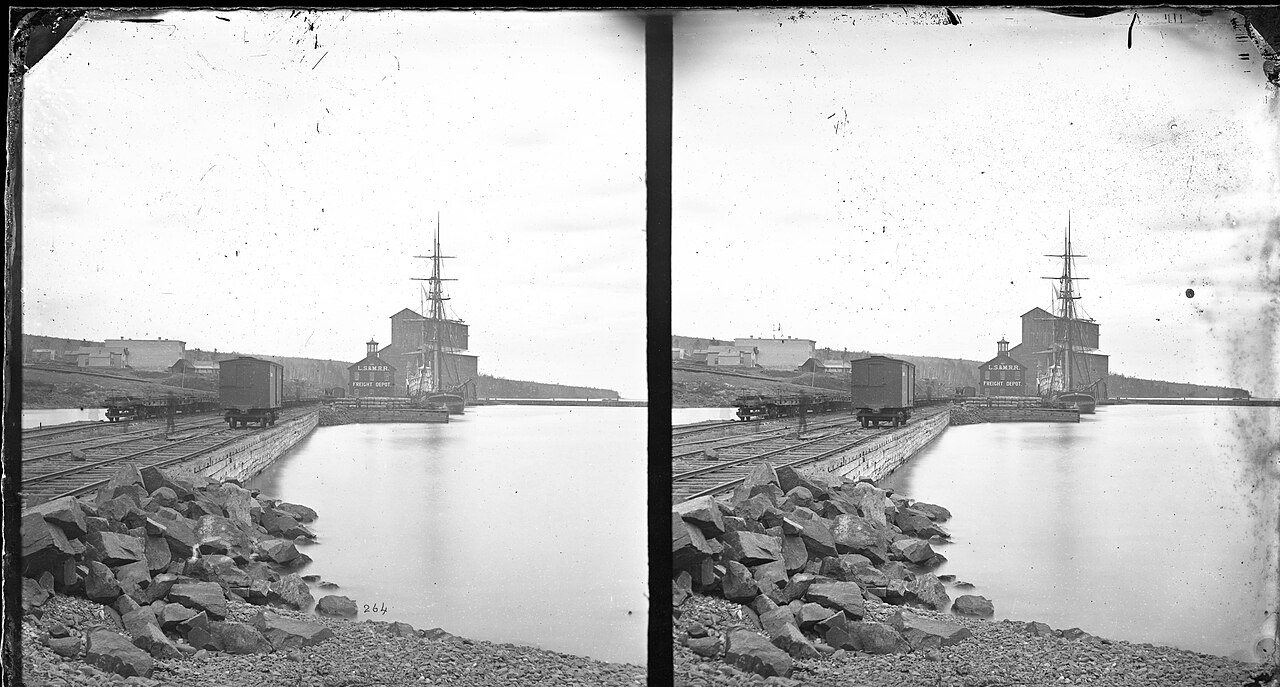


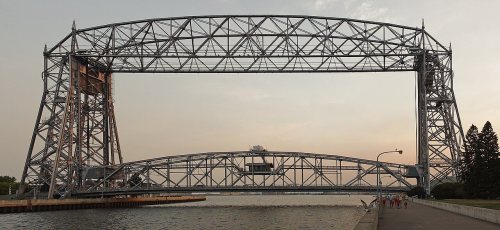
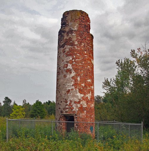


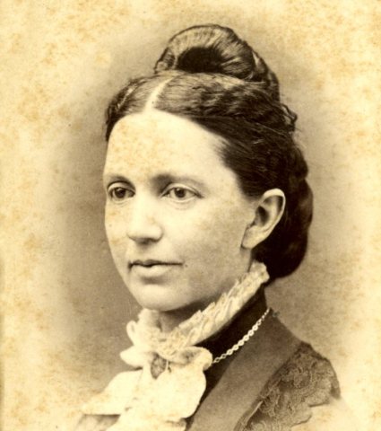



 1870s
 1870s
 1870s
 1875
 1880
 1887
 1897–1924
 1898


