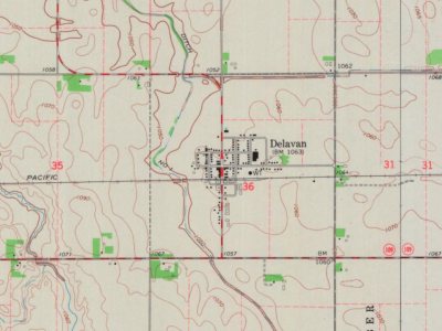
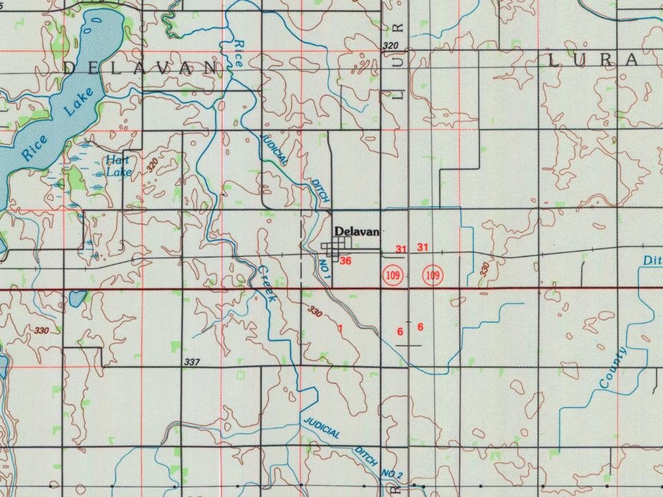
Delavan was platted in 1870 when the railroad was extended to that point and named for Oren Delavan Brown, a railroad official. A post office was established as Delavan Station in 1870, and the name of the post office was changed to Delavan in 1885. Delavan was incorporated in 1877.
Passages that mention Delavan, cut from the printed page as they were published.
The history of Faribault County, Minnesota1896 · page 519Read the page →
Read the text
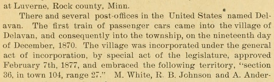
at Luverne, Rock county, Minn. ^ There and several post-offices in the United States named Delavan. The first train of passenger cars came into the village of Delavan, and consequently Into the township, on the nineteenth day of December, 1870. The village was incorporated under the general act of incorporation, by special act of the legislature, approved February 7th, 1877, and embraced the following territory, "section 36, in town 104, range 27." M. White, R. B. Johnson and A. Ander-
Text read by machine from the scan; it may contain errors.
The history of Faribault County, Minnesota1896 · page 513Read the page →
Read the text
The township of Delavan is congressional township one hundred and four (104) north, of range twenty-seven (27) west. On the north of this town lies the town of Mapleton, in Blue Earth county. On the east it is bounded by the township of Lura, south by the town of Prescott, and on the west by Winnebago City township.
Text read by machine from the scan; it may contain errors.
Scans and text from the Internet Archive. Books published in 1930 or earlier, which are in the public domain.
Timeline
Delavan, 1870 to 1967
Woven from the archive, old maps, post office records, the National Register and the people born here.
Founding dates: Wikidata, Wikipedia, the U.S. post office records of Blevins & Helbock (CC0) and the Census. Homes by year built: Census ACS 2020–24. National Register of Historic Places: National Park Service (list of May 22, 2026). Old photos, postcards and papers: Wikimedia Commons, the Library of Congress and other public archives, credited on each item’s page. Maps: U.S. Geological Survey historical topographic maps (via Esri) and Sanborn fire-insurance maps (Library of Congress). History text and census tables: Wikipedia (CC BY-SA 4.0). Places that used to be: USGS Geographic Names Information System (2021). How TownRatings grades history →
From Wikipedia, Wikidata and Wikipedia for famous people, U.S. Geological Survey historical maps, U.S. Census counts (via Wikipedia), the US Post Offices dataset (Blevins & Helbock), the USGS Geographic Names Information System and old county and town histories (Internet Archive). Archive images are copied here with their credits and licenses, shown on each photo’s page. Refreshed monthly.