Askov’s post office opened in 1909, and 30% of its homes were built before 1940
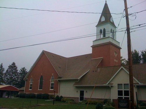
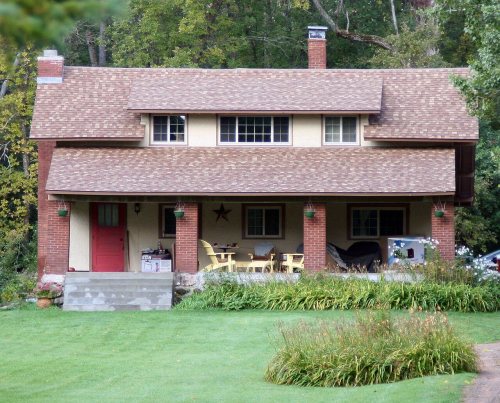
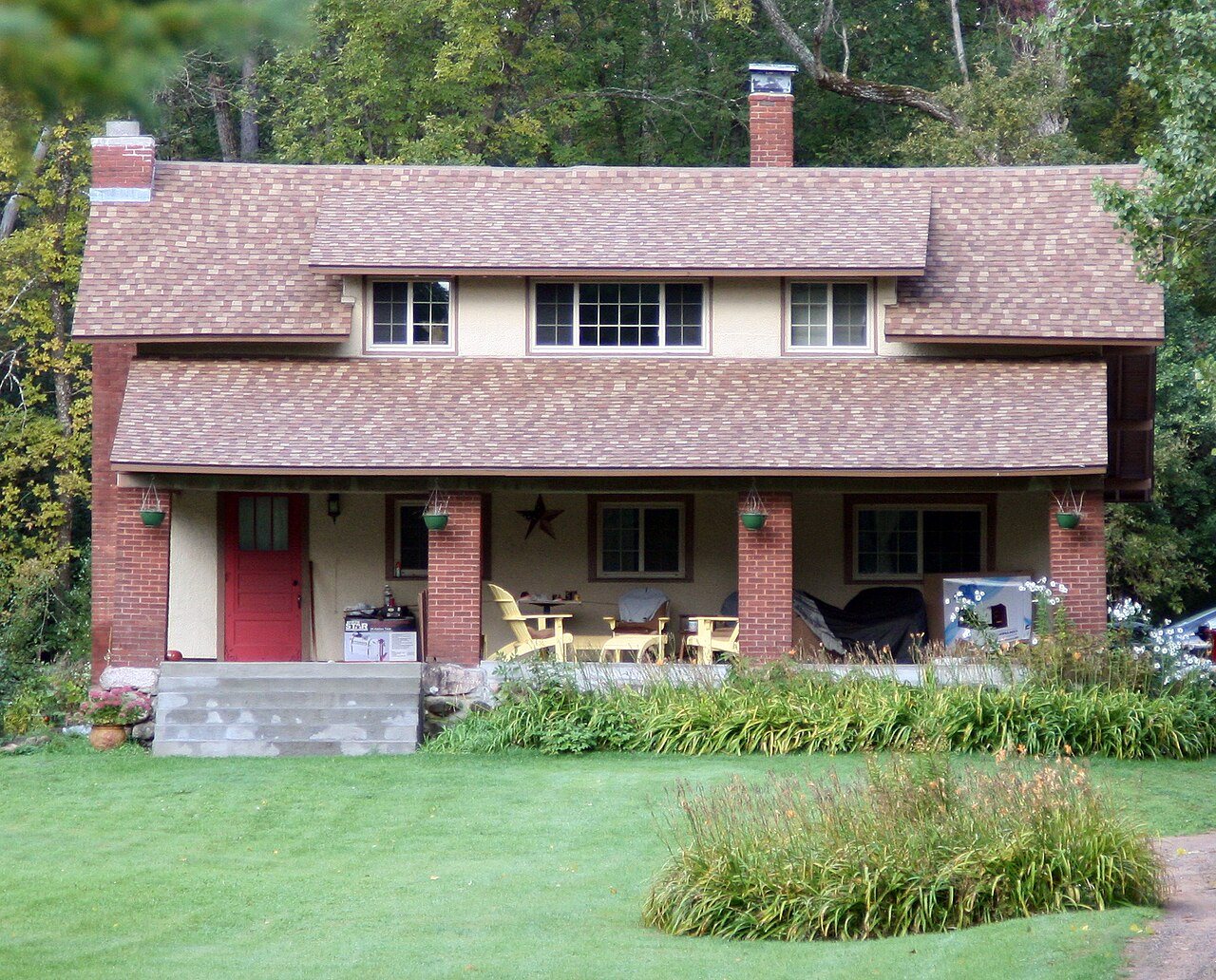
Its Register listings are the Bethlehem Lutheran Church, the Partridge Township Hall and the Peter P. Kilstofte Farmstead. Its Register listings are the Bethlehem Lutheran Church, the Partridge Township Hall and the Peter P. Kilstofte Farmstead. Below: maps from 1961 on and the census since 1920.
The Askov post office opened in 1909, the earliest record of the town by name. Wikidata gives 1918. Another post office, Partridge (1889), opened inside today’s city and later closed.
First census: 242 in 19202020 census: 331117 years
Founding year: the first Askov post office (Blevins & Helbock, CC0). Wikidata: 1918.The full story ↓
What stands out about Askov’s past
Read from the archive, the National Register and the record. The page puts what stands out first.
The village was originally within the lands of the village of Partridge, at a stop far outside the original village along Great Northern Railway; here a post office was set up, called Partridge from 1889 to 1909, before changing its name to Askov in 1909. Most of the original village of Partridge was destroyed in the 1894 Hinckley fire. The immigrants to the Danish "colony" of Askov were nationalistic Lutheran followers of the theologian and cultural leader N. F. S. Grundtvig. Danish immigrants had previously been mostly economic migrants fleeing poverty, but the first migrants to Askov were almost all Grundvigian Danes from elsewhere in the U.S. The Dansk Folkesamfund (Danish Peoples Society) was founded in 1887 by Svend Hersleb Grundtvig, N. F. S. Grundtvig's son, to conserve Danish social heritage and promote immigration to the U.S. The Dansk Folkesamfund, with help from the railroad…
Founding dates: Wikidata, Wikipedia, the U.S. post office records of Blevins & Helbock (CC0) and the Census. Homes by year built: Census ACS 2020–24. National Register of Historic Places: National Park Service (list of May 22, 2026). Old photos, postcards and papers: Wikimedia Commons, the Library of Congress and other public archives, credited on each item’s page. Maps: U.S. Geological Survey historical topographic maps (via Esri) and Sanborn fire-insurance maps (Library of Congress). History text and census tables: Wikipedia (CC BY-SA 4.0). Places that used to be: USGS Geographic Names Information System (2021). How TownRatings grades history →
From Wikimedia Commons (5), Wikidata (1), the National Register of Historic Places (3), Wikipedia, U.S. Geological Survey historical maps, U.S. Census counts (via Wikipedia), the US Post Offices dataset (Blevins & Helbock) and the USGS Geographic Names Information System. Archive images are copied here with their credits and licenses, shown on each photo’s page. Refreshed monthly.



 2014
 2013
 2008
 2007
 2005