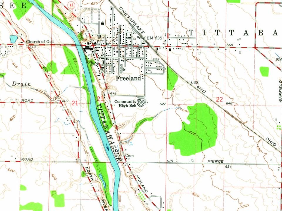
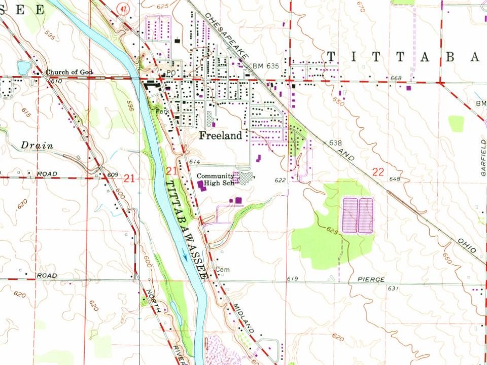
Most of Freeland was built recently: 2% of its homes predate 1940 and the median home dates from 1995. Below: 1 old photo or paper and maps from 1962 on.
The place was home to Native Americans long before the arrival of European settlers. In the 1819 Treaty of Saginaw, the Chippewa, Ottawa, and Pottawatomi ceded a large portion of land, including Saginaw County, to the United States federal government. In that treaty, within the ceded territory, several tracts were reserved for specific groups of Chippewa. One such tract, Black Bird's Village, consisted of 6,000 acres (24 km2) on the Tittabawassee (named as the Tetabawasink river in the text of the treaty), very near to the present location of Freeland.
Founding dates: Wikidata, Wikipedia, the U.S. post office records of Blevins & Helbock (CC0) and the Census. Homes by year built: Census ACS 2020–24. National Register of Historic Places: National Park Service (list of May 22, 2026). Old photos, postcards and papers: Wikimedia Commons, the Library of Congress and other public archives, credited on each item’s page. Maps: U.S. Geological Survey historical topographic maps (via Esri) and Sanborn fire-insurance maps (Library of Congress). History text and census tables: Wikipedia (CC BY-SA 4.0). Places that used to be: USGS Geographic Names Information System (2021). How TownRatings grades history →
From Wikimedia Commons (4), Wikipedia, Wikidata and Wikipedia for famous people and U.S. Geological Survey historical maps. Archive images are copied here with their credits and licenses, shown on each photo’s page. Refreshed monthly.


 2016
 2011
 2005