Few parks or trails are on the map in Covington Township
The biggest trail networks: Ottawa National Forest - Kenton Ranger District (26.8 mi), Copper Country State Forest- Baraga Unit (23.3 mi), Baraga Plains Waterfowl Management Area (7.3 mi). 38% of Covington Township’s land is conserved, about 46,880 acres. 24,284 acres are parks and preserves, 64,075 per 1,000 residents.
Conserved land
38%
46,880 acres · of 192.2 sq mi of land
Trails
142 mi
0.7 per sq mi of land
Park land
24,284 ac
64,075 acres per 1,000 residents
Near a park
41%
of residents within ½ mile
Highest peak
1,302 ft
Mount Kallio
Lakes & rivers
23
4 boat launches
The map
Conserved land, trails & bike routes
Tap a number to zoom to a park. Tap a layer to hide it.
The longest trail network is Ottawa National Forest - Kenton Ranger District, with 26.8 miles. Directions go to the nearest trailhead or public parking.
Ottawa National Forest - Kenton Ranger District
Managed by United States Forest Service
19,822 acres26.8 mi of trail
North Country TrailForest Road 2418
Dog rules not recorded
No trailhead mapped yet
Copper Country State Forest- Baraga Unit
Managed by Michigan Department of Natural Resources
38% of Covington Township’s land. Who manages Covington Township’s conserved land, from the USGS Protected Areas Database. Approximate, because parcels can overlap.
State natural resources26,980 ac
U.S. Forest Service19,829 ac
Town or city40 ac
County31 ac
State Conservation Area · 26,980 acNational Forest · 19,829 acLocal Resource Management Area · 42 acLocal Park · 29 ac
The biggest protected parcels
Parcel (PAD-US)
Managed by
Acres
Public access
Baraga State Forest Area
State Conservation Area
State natural resources
26,306
Open
Ottawa National Forest
National Forest
U.S. Forest Service
19,829
Open
MNRTF Parcel
State Conservation Area
State natural resources
675
Restricted
Local Forest
Local Resource Management Area
Town or city
42
Open
Township of Covington Park
Local Park
Town or city
29
Open
Things to do
9 places to go in Covington Township
Beaches, playgrounds, peaks, falls and more. Pick a kind.
Boat launches in Covington Township
King Lake State Forest Campground Boat LaunchIn Copper Country State Forest- Baraga Unit
Bike lanes are often missing from the map in smaller towns, so that number is likely low.
Courts & fields
2Baseball
Includes school and college facilities, which aren’t always open to the public.
When to get out
The best walking months in Covington Township: May and August
NOAA’s 1991–2020 normals for the town and the daylight at its latitude. Outlined months have long days, highs of 59 to 86 °F and little rain for the place.
Jan
Feb
Mar
Apr
May
Jun
Jul
Aug
Sep
Oct
Nov
Dec
Daylight (h)
9.0
10.2
11.8
13.5
15.0
15.8
15.5
14.2
12.5
10.8
9.3
8.6
High (°F)
20
25
36
49
63
73
77
75
67
52
37
26
Rain (in)
1.8
1.5
1.7
2.6
3.2
3.5
4.1
3.0
3.9
3.7
2.4
2.0
February is the driest month (1.5 in) and July the warmest (highs of 77 °F). 4.1 inches fall in July, the wettest month. The climate in Covington Township →
The four inputs of the Outdoors grade, from the engine; shares are of land, not water.
Questions about parks and trails in Covington Township
Where can I hike in Covington Township?
The longest trail networks: Ottawa National Forest - Kenton Ranger District, 26.8 miles; Copper Country State Forest- Baraga Unit, 23.3 miles; Baraga Plains Waterfowl Management Area, 7.3 miles; Sturgeon River Gorge Wilderness, 1.1 miles. Each one is on the map above, with directions to the nearest trailhead or parking.
Are dogs allowed on Covington Township’s trails?
Ottawa National Forest - Kenton Ranger District and Copper Country State Forest- Baraga Unit don’t have dog rules recorded on the map; check the signs at the trailhead.
Is there public land near Covington Township?
228,609 acres of parks and open public land lie inside Covington Township or within 10 miles of it (PAD-US), 40,795 of them inside the town line.
Trail talk
Conditions, parking and favorite walks from Covington Township neighbors.
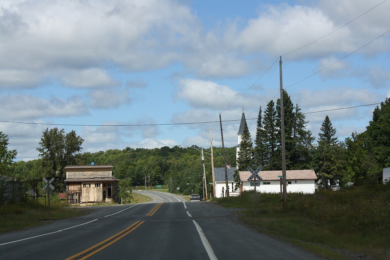 Photo: Royalbroil · CC BY-SA 3.0