The Knoll Townhomes of Ada
Landmark and historical building · 1040 Spaulding Ave SE
Each edition grades its towns against each other only.
A monument on RIX St SE, in the middle of things: 151 places within a five-minute walk. One of 5 history & landmarks in Ada Township.


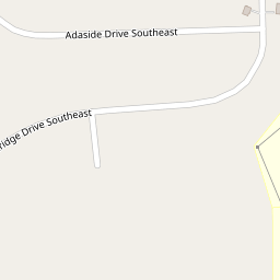
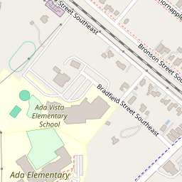
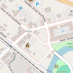
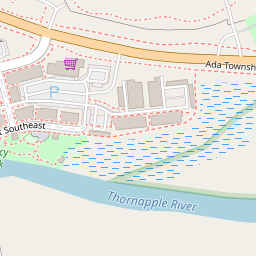
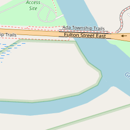


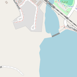

Ada Covered Bridge was added to the National Register of Historic Places on Feb 16, 1970. It is significant for its transportation at the state level. Its architecture is described as Covered Bridge.
The Ada Covered Bridge is a 125-foot (38 m) span Brown truss covered bridge erected in 1867 in Ada, Michigan, United States. Carrying Bronson Street across the Thornapple River, it is located just south of where the Thornapple enters the Grand River, in turn just south of M-21. It is listed on the National Register of Historic Places.
The full story →151 places within a five-minute walk of Ada Covered Bridge.
The nearest neighbor is Thornapple River, 1 min walk away.
Be the first to show what Ada Covered Bridge looks like.
Sign in to add a photo.
What should the next neighbor know?
Sign in to leave a review.
Local favorites first.
Sign in to suggest a change or confirm one.
Tips, questions and shout-outs from Ada Township neighbors.
Your answer becomes a post in Town Square.
Some place details from Overture Maps (CDLA-Permissive-2.0). Changes go live once a second neighbor confirms them. Building history: National Park Service, National Register of Historic Places.