Guest, Sign inJoin

Post to Cranberry Isles

We’ll email a one-tap link to publish your post. No password, and nothing is public until you click it.
Already a member? Sign in
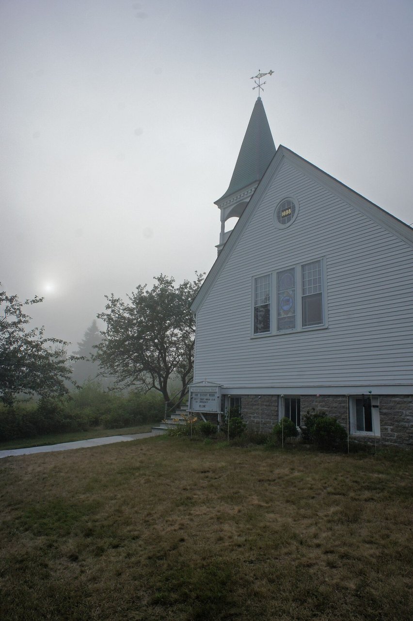
Sun + Fog + Church in Islesford, Maine
Maine›Hancock County

Cranberry IslesME

Home to 3 places on the National Register of Historic Places.

Trash & recycling
5 bordering townsMap →
Photo: H.L.I.T. · CC BY 2.0
Photo of Cranberry Isles

Cranberry Isles, ME · Photo: H.L.I.T. · CC BY 2.0 · Source ↗

Is Cranberry Isles a good place to live?

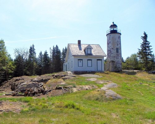
52% of adults 25 and older hold a bachelor’s degree or more in Cranberry Isles, where Maine’s towns sit at 32% and U.S. towns at 29%. Only 1 of the 144 Maine towns we compare have a lower share of working residents who work in town than Cranberry Isles. Its National Register listings include Bear Island Light Station and Baker Island Light Station. Cranberry Isles has fewer than 1,000 residents, too few for fair grades; the figures below are still real.

What makes Cranberry Isles stand out

Where Cranberry Isles beats most towns.

By the sea

Cranberry Isles lives by the ocean

Coastal flooding makes up 26% of the storm damage FEMA expects here.

26%of expected storm damage is coastal flooding
99thpercentile for coastal flood risk nationally
3paid flood-insurance claims since 2024
1storm & flood disasters paid out here
On the water

FEMA National Risk Index · OpenFEMA · OpenStreetMap

Islesford Historical Museum and Blue Ducks Ships Store
Islesford Historical Museum and Blue Ducks Ships Store · National Register of Historic Places
Cranberry Isles’s story

179 years in pictures

Census counts: 258 in 1830, a peak of 410 in 1920, 160 in 2020. The archive holds 12 old photos and papers going back to 1828 and a map from 1983 on.

3 places on the National Register of Historic Places.

  • 1847Cranberry Isles is settled
Explore the history →
Nearby attractions

Acadia National Park and 6 more within 40 miles

Museums, parks, gardens and other places to visit around Cranberry Isles. Close and well known come first.

All 12 attractions →
Sources: National Park Service · ski areas © OpenSkiMap / OpenStreetMap contributors · Wikidata · Wikipedia readership · photos via Wikimedia Commons
Photo credits

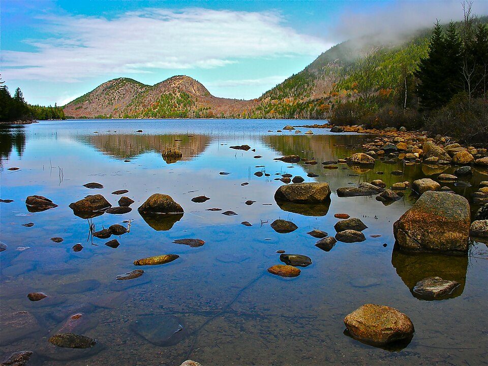
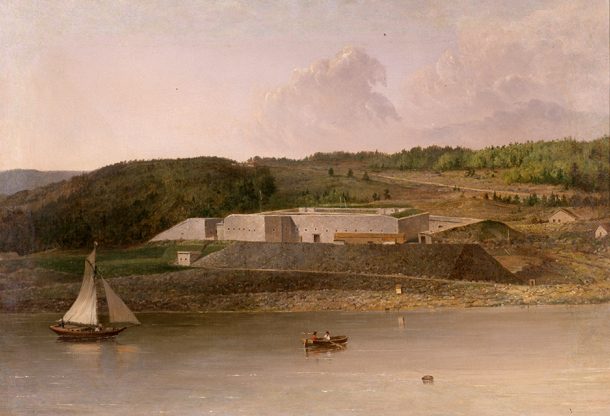
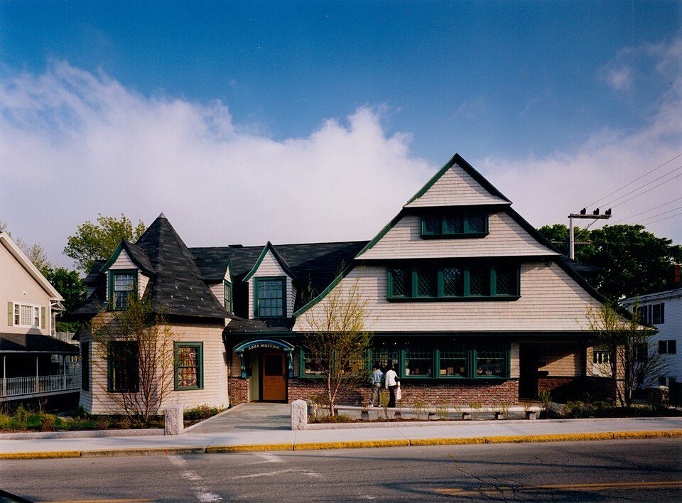
Acadia National Park: Plh1234us, CC BY-SA 3.0 · Cadillac Mountain: The original uploader was NightThree at English Wikipedia., CC BY 2.0 · Fort Knox: Unknown, Public domain · Bass Harbor Head Light: G. Edward Johnson, CC BY-SA 3.0 · Abbe Museum: AbbeMuseum, CC BY-SA 4.0 · Penobscot Marine Museum: John Smith, Public domain

Getting set up

Moving to Cranberry Isles: who provides what

Who provides power, water and the rest in Cranberry Isles, and how to reach them.

The full setup list →
PowerVersant Power30.1¢/kWh · EIA 2025HIFLD · EIA
Internet2 providers100% of addresses get 100/20 MbpsFCC
Trash & dumpIslesford and Great Cranberry transfer stationsDrop-offTown site
SchoolsCranberry IslesWhich school depends on your addressNCES
Register to voteOnlineIn Maine you can register online until 21 days before Election Day, in person up to and including Election Day, or by mail (received 21 days before).vote.gov
Who runs elections hereCranberry Isles Town ClerkThe town itself; contacts on the Handbook page.FVAP, Oct 2026
ZIP codes04646, 0462504646 60% · 04625 40%Census 2020

EPA SDWIS (Oct 9, 2026) · HIFLD + EIA-861 2025 · Census 2020 ZCTAs · NCES 2024–25 · registration: vote.gov, updated Aug 3, 2026.

The data

Ordered by what stands out in Cranberry Isles.

Schools

The schools Cranberry Isles’s kids attend

Its public schools are run by the Cranberry Isles Public Schools. Its one school is below.

SchoolLevelStudentsLetter
Cranberry Isles SchoolLargest public elementary schoolGrades K–8Grades K–85–

NCES · EDFacts

Climate

Four seasons and pleasant summers in Cranberry Isles

Cranberry Isles has cold winters and pleasant summers, with plenty of rain. Cranberry Isles’ July high is 77°F, below both Maine’s towns (79°F) and U.S. towns (85°F).

77°summer high

Typical low → high °F

Winter17–34°
Spring34–51°
Summer56–74°
Fall41–57°
Oct 22
typical first frost
Apr 27
typical last frost
+1.6°
vs. the 20th-century average
77°
typical summer high

NOAA U.S. Climate Normals, 1991–2020

Work & commute

Most working residents commute out of Cranberry Isles

Most working residents leave Cranberry Isles for work: only 2% work in town. The average trip to work in Cranberry Isles is 20 minutes. Jobs based in Cranberry Isles grew to 55 in 2023, 28 more than in 2013.

2%work in town
Cranberry IslesMaine townsU.S. towns
Average trip to work20 minutes25 minutes25 minutes
Below the poverty line4.6%9%9.6%

Where working residents work

In Cranberry Isles2%
Southwest Harbor26%
Bar Harbor17%
Tremont8%
Portland6%
10 mi
median commute distance
55
jobs based in Cranberry Isles
Balanced
jobs vs. working residents

Census LEHD 2023 · ACS

Health

Compared with most of Maine and the rest of the country, more of Cranberry Isles’ adults had a checkup this year

85% of Cranberry Isles adults had a checkup this year. Cranberry Isles beats the Maine average on 10 of 32 CDC measures and trails it on 5. 15% of Cranberry Isles adults report frequent mental distress.

Cranberry IslesMaine townsU.S. towns
Yearly checkup (CDC PLACES)85%81%79%
Frequent mental distress (CDC PLACES)15%18%17%
Binge drink (CDC PLACES)14%15%16%
High blood pressure (CDC PLACES)40%35%35%
32 measures vs. Maine
10 better17 too close to call5 worse
What stands outCranberry IslesME
Fewer older adults who have lost all their teeth10.2%14.8%
Fewer adults without reliable transportation6.1%7.8%
More adults who have had cancer13.5%9.9%
Mount Desert Island Hospital
8.7 mi away · emergency room
None
primary care, dental or mental-health shortage

CDC PLACES 2025 · modeled estimates for adults · CMS · HRSA

Natural hazards

Moderate risk in Cranberry Isles, with hurricanes at the top

Expected storm and flood damage is lower than in 58% of U.S. communities. Since 2024, 3 flood insurance claims have been paid out in Cranberry Isles.

42risk score of 100
FEMA risk score
42Moderate riskLowerHigher
HurricanesCoastal floodingInland flooding
3
paid flood claims since 2024
1
federal disasters paid out here

FEMA flood insurance claims · FEMA National Risk Index · OpenFEMA

Outdoors

Conserved land covers 2% of Cranberry Isles

7.7 miles of trail in 3 parks and preserves. Cranberry Isles’ trail density is 0.2 miles per square mile. The biggest park or preserve is Acadia National Park, at 173 acres.

2%conserved
Cranberry IslesMaine townsU.S. towns
Miles of trail per square mile0.2 miles per square mile0.70.4
Conserved land2%4.7%4.3%
2%
conserved · 579 of 28,978 acres
7.7 mi
of trails · 0.2 per sq mi
Biggest places to walkTrailsAcres
1. Acadia National Park0.4 mi173
2. Cranberry Shores Preserve0.3 mi20
3. Preble Cove Preserve—1

Trails & parks © OpenStreetMap contributors · Conserved land: USGS PAD-US

Keep exploring

Everything we know about Cranberry Isles

18pages on Cranberry Isles
After high school

Colleges nearby

1 within 15 miles of the center of Cranberry Isles

Small town

160 people, and everyone knows the way

In a town this size, neighbors are the best guide. Ask them anything.

Nearby towns
Mount DesertSouthwest HarborFrenchboroNortheast HarborWinter HarborMount DesertSouthwest HarborFrenchboroNortheast HarborWinter HarborCranberry Isles

Landmarks

3 places in Cranberry Isles on the National Register of Historic Places.

All landmarks →

About Cranberry Isles

Town in Maine, United States

Official town website ↗

Cranberry Isles is a town in Hancock County, Maine, United States. The population was 160 at the 2020 census.

From Wikipedia, licensed CC BY-SA 4.0 · facts via Wikidata (CC0)

Area
46 sq mi
Elevation
0 ft
ZIP code
04625
Area code
207

Questions about Cranberry Isles

Short answers, built from the data on this page.

Is Cranberry Isles, ME a good place to live?

Cranberry Isles has fewer than 1,000 residents, too few for fair grades; the figures below are still real. Home to 3 places on the National Register of Historic Places.