4 places in town are on the National Register, among them a historic district with 4 buildings. Below: 11 old photos and papers, maps from 1904 on, and the census since 1800.
Founding year: Wikipedia. First post office: 1811.The full story ↓
History grade
What drives Anson’s History grade
On its age, its old homes and the National Register, Anson is more historic than 92% of U.S. towns. All 3 inputs are above most U.S. towns; its age ranks highest and its National Register listings lowest.
A
HistoryA character grade: shown, never part of Anson’s overall grade.
Maine towns list more on the Register than most of the country (a typical Maine town has 15.9 per 10,000 residents, the U.S. 2.4), so Anson’s 25.7 sits near the middle of its state (64% of Maine towns have fewer) while its 6 historic buildings outnumber those of 72% of U.S. towns.
NoteThe founding year comes from Wikipedia alone; no second source gives 1772.
How sure. Graded on any two of the three inputs instead, the letter would range from A− to A. The pre-1940 share is a Census survey estimate (±8.2 points).
Founding year: Wikipedia (other dates in Quick answers). Homes: Census ACS 2020–24. National Register: National Park Service, May 2026 list; each listing counted once (boundary changes and added documentation belong to their listing), and a historic district counts its contributing buildings. How TownRatings grades history →
What stands out about Anson’s past
Read from the archive, the National Register and the record. The page puts what stands out first.
The land upon which Anson was founded was historically home to the Norridgewock Abenaki. It was first settled in 1772 as Plantation Number One in what would become Somerset County on March 1, 1809. General Benedict Arnold and his troops passed through Anson village in 1775 on their way up the Kennebec River to the ill-fated Battle of Quebec. The town was incorporated on March 1, 1798, as Anson, named after Lord George Anson. On March 20, 1845, North Anson was set off as a separate town, although on March 13, 1855, it reunited with Anson.
Passages that mention Anson, cut from the printed page as they were published.
A history of the town of Industry, Franklin County, Maine, from the earliest settlement in 1787 down to the present time, embracing the cessions of New Sharon, New Vineyard, Anson, and Stark. In two parts, including the history and genealogy of many of th1893Read the page →
Read the text
those days. At a suitable age he commenced attending school at West's xMili^ and by diligence accjuired a good education in the English branches, which he siip[jlemented by attending several terms of high school. He taught his first school, at the age of twent\', in the town of Anson, Me., and afterward for several winters in a school in (jardiner, Me. 'The llrst season after he reached his majority he v.orked for his father by the season. .\t the age of twentv-three he wcni to Massachusetts to seek his fortune among strangers. Naturally ingenious and skillful in the use
Text read by machine from the scan; it may contain errors.
A history of the town of Industry, Franklin County, Maine, from the earliest settlement in 1787 down to the present time, embracing the cessions of New Sharon, New Vineyard, Anson, and Stark. In two parts, including the history and genealogy of many of th1893Read the page →
Read the text
7. i. Hiram, b. in Anson, July 22, 1799; m. Nov. 26, 1832, Jane Atkinson, dau. of William and Mary (Blunt) Atkinson, q. v. 8. ii. James, b. in Anson, Sept. 9, 1802; m. July 25, 1826, Maria Norton, dau.
Text read by machine from the scan; it may contain errors.
Scans and text from the Internet Archive. Books published in 1930 or earlier, which are in the public domain.
Timeline
Anson, 1772 to 1934
Woven from the archive, old maps, post office records, the National Register and the people born here.
In 1772, according to Wikipedia’s history of the town. Anson’s post office opened in 1811, and the census of 1800 counted 373 people here.
How does Anson rank for history?
Anson is more historic than 92% of U.S. towns. The History grade combines the town’s founding era, the share of homes built before 1940 and its National Register listings. It’s a character grade, so it isn’t part of the overall grade. How it works.
What is on the National Register in Anson?
4 listings: 2 buildings, 1 historic district, the Temples Historic District, with 4 contributing buildings, and 1 structure. 6 historic buildings in all.
How old are the homes in Anson?
23% of Anson’s homes were built before 1940 (Census estimate, ±8.2 points), against a typical 19% for a Maine town; the median home was built in 1972.
Founding dates: Wikidata, Wikipedia, the U.S. post office records of Blevins & Helbock (CC0) and the Census. Homes by year built: Census ACS 2020–24. National Register of Historic Places: National Park Service (list of May 22, 2026). Old photos, postcards and papers: Wikimedia Commons, the Library of Congress and other public archives, credited on each item’s page. Maps: U.S. Geological Survey historical topographic maps (via Esri) and Sanborn fire-insurance maps (Library of Congress). History text and census tables: Wikipedia (CC BY-SA 4.0). Places that used to be: USGS Geographic Names Information System (2021).
From Wikimedia Commons (15), Wikidata (1), the National Register of Historic Places (4), Wikipedia, Wikidata and Wikipedia for famous people, U.S. Geological Survey historical maps, U.S. Census counts (via Wikipedia), the US Post Offices dataset (Blevins & Helbock), the USGS Geographic Names Information System and old county and town histories (Internet Archive). Archive images are copied here with their credits and licenses, shown on each photo’s page. Refreshed monthly.


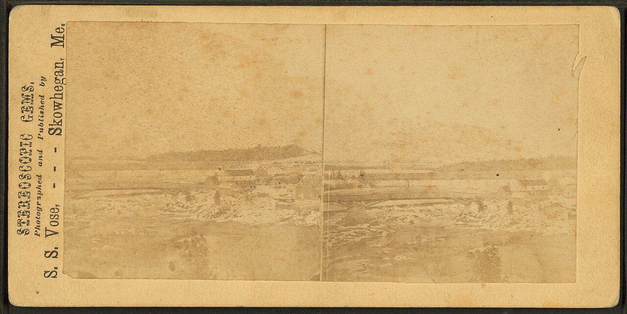


 c. 1869
 c. 1869
 c. 1869
 c. 1869
 c. 1869
 c. 1869
 c. 1869
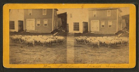 c. 1869
 c. 1869
 Date?
 2022
 2014
 2014
 2010


