Originally 88 acres (360,000 m2) were sold to Henry Funk by Frederick Calvert, 6th Baron Baltimore in 1754 and settled as Jerusalem.
The Civil War Battle of Funkstown took place July 10, 1863, during the Gettysburg campaign as Robert E. Lee's Army of Northern Virginia retreated toward Virginia in the week following the Battle of Gettysburg.
Union forces of the Army of the Potomac attacked the rear guard of the Confederate Army of Northern Virginia during its retreat from Pennsylvania following the Battle of Gettysburg.
Passages that mention Funkstown, cut from the printed page as they were published.
A history of Washington County, Maryland from the earliest settlements to the present time, including a history of Hagerstown1906 · page 100Read the page →
Read the text
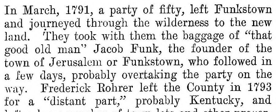
In March, 1791, a party of fifty, left Funkstown and journeyed through the wilderness to the new land. They took with them the baggage of “that good old man” Jacob Funk, the founder of the town of Jerusalem or Funkstown, who followed in a few clays, probably overtaking the party on the way. Frederick Rohrer left the County in 1793 for a “distant part,” probably Kentucky, and
Text read by machine from the scan; it may contain errors.
A history of Washington County, Maryland from the earliest settlements to the present time, including a history of Hagerstown1906 · page 95Read the page →
Read the text
name appears in the Spy is Christian Hawken, in May, 1794. To supply powder for these fire arms, and also for blasting rocks, John Light started a powder mill near Funkstown in 1797. This mill was in existence over twenty-five years, and during that time it was constantly blowing up. Later, another mill was started lower down the Antietam, two miles from Funkstown by Mr. Boerstler. Mr.
Text read by machine from the scan; it may contain errors.
Scans and text from the Internet Archive. Books published in 1930 or earlier, which are in the public domain.
Founding dates: Wikidata, Wikipedia, the U.S. post office records of Blevins & Helbock (CC0) and the Census. Homes by year built: Census ACS 2020–24. National Register of Historic Places: National Park Service (list of May 22, 2026). Old photos, postcards and papers: Wikimedia Commons, the Library of Congress and other public archives, credited on each item’s page. Maps: U.S. Geological Survey historical topographic maps (via Esri) and Sanborn fire-insurance maps (Library of Congress). History text and census tables: Wikipedia (CC BY-SA 4.0). Places that used to be: USGS Geographic Names Information System (2021). How TownRatings grades history →
From Wikimedia Commons (2), the National Register of Historic Places (1), Wikipedia, the US Post Offices dataset (Blevins & Helbock), the USGS Geographic Names Information System and old county and town histories (Internet Archive). Archive images are copied here with their credits and licenses, shown on each photo’s page. Refreshed monthly.

 2025
 2022