Derwood in pictures
The archive holds 6 old photos and papers going back to 2009.
Explore the history →Each edition grades its towns against each other only.

A town of 1,984.
The best of Derwood’s subject grades are an A+ for walkability and health and an A for incomes; the weakest is a C− for cost of living. Only 4 of Maryland’s 329 towns score higher on hazard risk. Derwood's public schools beat 72% of Maryland towns on state tests and graduation. Only 23 of Maryland’s 329 towns score higher on health. 20% of the land in Derwood is conserved, above both the Maryland town median (9.5%) and the median of U.S. towns (4.3%). The biggest park or preserve is Crabbs Branch Stream Valley Park, at 65 acres. Derwood has fewer than 2,500 residents, so it gets subject grades but no overall grade.
Where Derwood beats most towns.
| Widest gap | Derwood | MD |
|---|---|---|
| Fewer older adults who have lost all their teeth | 3.1% | 9.9% |
Where Derwood’s working residents go each day. Line width shows the share.
Census LEHD 2023
Each subject compared with towns across the country (schools within Maryland), ordered by how far Derwood is from typical.
How TownRatings grades towns →

The archive holds 6 old photos and papers going back to 2009.
Explore the history →Museums, parks, gardens and other places to visit around Derwood. Close and well known come first.
Big draw16 mi National park siteWhite House311K visitors a year
Big draw17 mi National MemorialWashington Monument204K visitors a year
Big draw17 mi LandmarkArlington National Cemetery
Big draw17 mi LandmarkUnited States Triumphal Arch
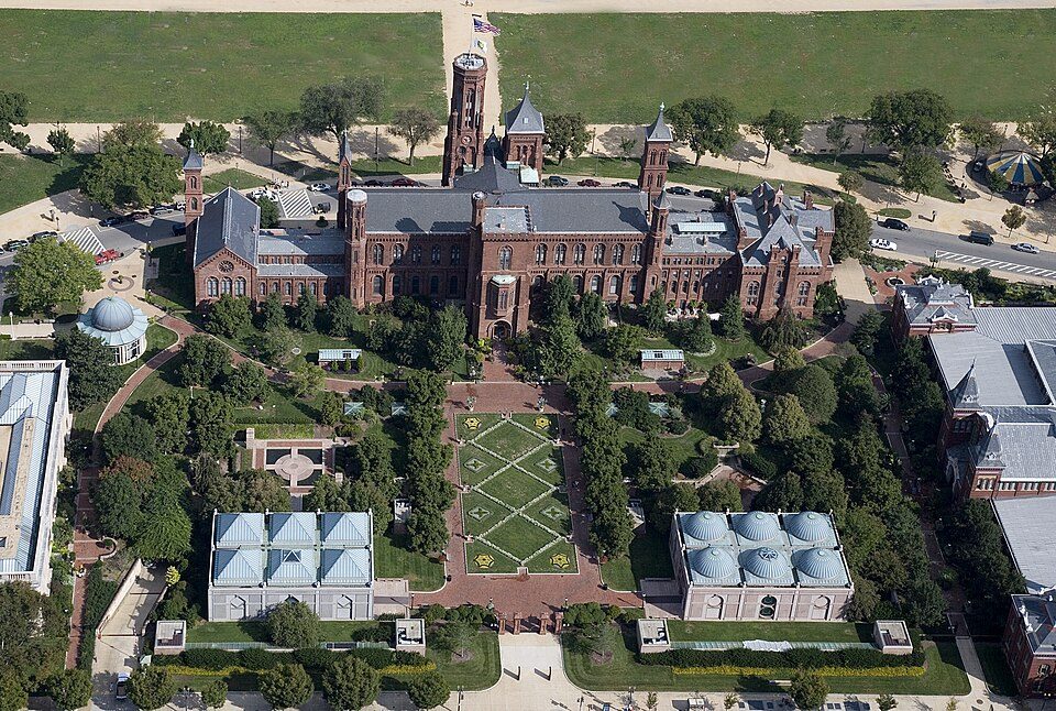
Big draw17 mi MuseumSmithsonian Institution30.0M visitors a year
Big draw16 mi National MemorialLincoln Memorial7.7M visitors a yearWhite House: This image or media was taken or created by Matt H. Wade. To see his entire port, CC BY-SA 3.0 · Washington Monument: Oren Rozen, CC BY-SA 4.0 · Arlington National Cemetery: Protoant, Public domain · United States Triumphal Arch: Hstoops, CC0 · Smithsonian Institution: Highsmith, Carol M., 1946-, photographer, Public domain · Lincoln Memorial: Aerial_view_of_Lincoln_Memorial_-_east_side.jpg: Carol M. Highsmith derivative w, Public domain
Derwood is unincorporated, so Montgomery County and regional agencies provide most services.
EPA SDWIS (Oct 9, 2026) · HIFLD + EIA-861 2025 · Census 2020 ZCTAs · NCES 2024–25 · registration: vote.gov, updated Mar 11, 2026.
Ordered by what stands out in Derwood.
23% of adults have obesity in Derwood, against 36% in Maryland’s towns and 35% across U.S. towns. 16% of Derwood adults have been diagnosed with depression. Derwood beats the Maryland average on 25 of 32 CDC measures and trails it on 1.
| Derwood | Maryland towns | U.S. towns | |
|---|---|---|---|
| Obesity (CDC PLACES) | 23% | 36% | 35% |
| Frequent mental distress (CDC PLACES) | 11% | 15% | 17% |
| Smoke cigarettes (CDC PLACES) | 5.9% | 11% | 14% |
| Depression (CDC PLACES) | 16% | 20% | 23% |
| What stands out | Derwood | MD |
|---|---|---|
| Fewer older adults who have lost all their teeth | 3.1% | 9.9% |
| Fewer adults facing a utility shut-off | 4.2% | 8.4% |
| More adults with high cholesterol | 43.1% | 38.1% |
CDC PLACES 2025 · modeled estimates for adults · CMS · HRSA
Most working residents leave Derwood for work: only 1% work in town. The average trip to work in Derwood is 34 minutes. Since 2013, Derwood has added 323 jobs, to 2,219 in 2023.
| Derwood | Maryland towns | U.S. towns | |
|---|---|---|---|
| Average trip to work | 34 minutes | 32 minutes | 25 minutes |
| Working residents who work in town | 1.5% | 3.1% | 8% |
| Below the poverty line | 7% | 7% | 9.6% |
Census LEHD 2023 · ACS
Expected storm and flood damage is lower than in 99% of U.S. communities.
FEMA National Risk Index · OpenFEMA
The typical Derwood home is worth about $622,000, about the same as a year ago, 46% above the Maryland typical home. 58% of households own their home in Derwood.
Census ACS, 2020–24 · Zillow Home Value Index · Redfin Data Center
| Biggest places to walk | Trails | Acres |
|---|---|---|
| 1. Crabbs Branch Stream Valley Park | 0.1 mi | 65 |
| 2. Derwood Station Neighborhood Park | — | 4 |
Trails & parks © OpenStreetMap contributors · Conserved land: USGS PAD-US
Derwood has chilly, snowy winters and warm summers. July afternoons reach 86°, January nights drop to 25° and about 33 inches of snow falls in a winter.
NOAA U.S. Climate Normals, 1991–2020
18 within 15 miles of the center of Derwood
About 8 of every 100 Derwood residents are enrolled in college, about the same as Maryland.
Census-designated place in Maryland, United States
Derwood is an unincorporated area and census-designated place in east-central Montgomery County, Maryland, United States. It lies just north of Rockville, southeast of Gaithersburg, southwest of Olney, and northwest of the greater Silver Spring area. Derwood was originally "Deer Park" and was then "Deer Wood" before getting its current name. The unincorporated area of Derwood includes the neighborhoods of Derwood Heights, Derwood Station, Mill Creek Towne, Needwood Estates, Muncaster Manor, Muncaster View, Hollybrooke, Granby Woods, Park Overlook, Preserve at Rock Creek, Redland Crossing, Candlewood Park, Cashell Estates, Avery Forest, Avery Lodge, Avery Village, Bowie Mill Estates, Bowie M…
From Wikipedia, licensed CC BY-SA 4.0 · facts via Wikidata (CC0)
One town shares a border with Derwood.
Derwood has fewer than 2,500 residents, so it gets subject grades but no overall grade. Derwood and Redland report no FBI crime data of their own. Compare Derwood with a neighbor →
Short answers, built from the data on this page.
Yes. That is 4.9 years of the area's median household income ($126,684 across the Washington-Arlington-Alexandria, DC-VA-MD-WV metro area). Cost of living, which also weighs rents, property taxes and how many households pay 30% or more of their income for housing, grades C−.