
Bunker Hill Fire Station, 2020
Brentwood’s story
128 years in pictures
Census counts: 1,842 in 1930, 3,828 in 2020. The archive holds 9 old photos and papers going back to 2020 and 3 maps from 1900 on.
- 1898Brentwood is settled
Each edition grades its towns against each other only.
Brentwood grades D overall, ranked 245th of 259 in Maryland, mostly because of schools. Its public schools trail 92% of Maryland towns on state tests and graduation. One bright spot: few places in the country are easier to get around without a car. Only 1 of Maryland’s 329 towns score lower on hazard risk. Brentwood's civic life (library use, community groups, volunteering) trails 82% of U.S. towns.
Where Brentwood beats most towns, and one thing worth knowing.
3,046 counted in 2010 and 3,828 in 2020; an estimated 3,828 in 2025.
Growth has leveled off: within 1% of 2020, after 25.7% in the decade before.
U.S. Census 2010 & 2020 counts · Census Bureau estimate, July 1, 2025
Each subject compared with towns across the country (schools within Maryland), ordered by how far Brentwood is from typical.
Its grades run from A+ for walkability (better than 99% of comparable towns) to D− for hazard risk (better than 5%), so the D overall blends very different results.
How TownRatings grades towns →
Census counts: 1,842 in 1930, 3,828 in 2020. The archive holds 9 old photos and papers going back to 2020 and 3 maps from 1900 on.
Museums, parks, gardens and other places to visit around Brentwood. Close and well known come first.
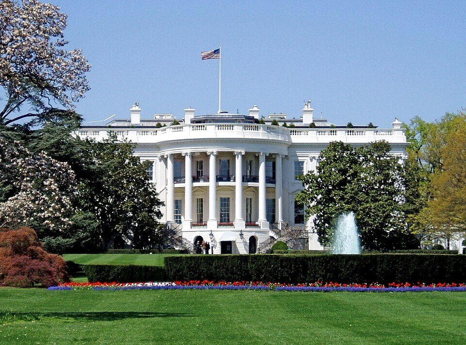 Big draw5 mi National park siteWhite House311K visitors a year
 Big draw5 mi National MemorialWashington Monument204K visitors a year
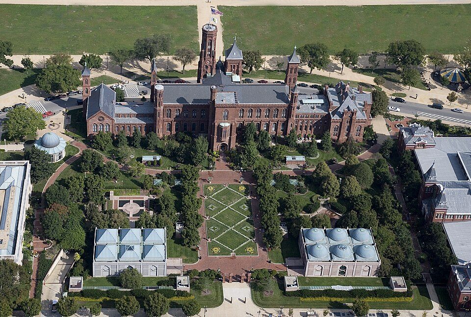 Big draw5 mi MuseumSmithsonian Institution30.0M visitors a year
 Big draw8 mi LandmarkArlington National Cemetery
 Big draw7 mi LandmarkUnited States Triumphal Arch
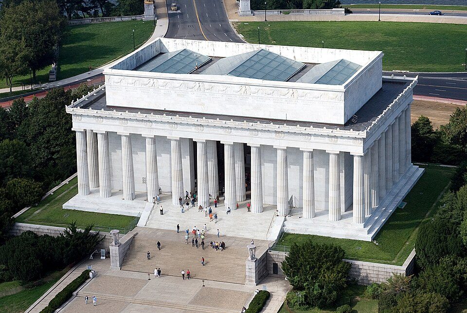 Big draw6 mi National MemorialLincoln Memorial7.7M visitors a year
White House: This image or media was taken or created by Matt H. Wade. To see his entire port, CC BY-SA 3.0 · Washington Monument: Oren Rozen, CC BY-SA 4.0 · Smithsonian Institution: Highsmith, Carol M., 1946-, photographer, Public domain · Arlington National Cemetery: Protoant, Public domain · United States Triumphal Arch: Hstoops, CC0 · Lincoln Memorial: Aerial_view_of_Lincoln_Memorial_-_east_side.jpg: Carol M. Highsmith derivative w, Public domain
Who provides power, water and the rest in Brentwood, and how to reach them.
EPA SDWIS (Oct 9, 2026) · HIFLD + EIA-861 2025 · Census 2020 ZCTAs · NCES 2024–25 · registration: vote.gov, updated Mar 11, 2026.
Ordered by what stands out in Brentwood.
Brentwood has more 90° days than almost anywhere else in Maryland and sends many workers across the state line to Arlington, but it carries more natural-hazard risk than most of Maryland (mostly inland flooding).
FEMA rates its natural-hazard risk higher than 100% of Maryland towns, with expected losses of about $397 per resident a year; that rating is what its D− for hazard risk is built on.
At 86 of 100, Brentwood’s FEMA risk score is against 6 of 100 in Maryland’s towns and 44 of 100 across U.S. towns. Since 1979, 33 flood insurance claims have been paid out in Brentwood.
FEMA flood insurance claims · FEMA National Risk Index · OpenFEMA
44% of working residents cross a state line to work, Arlington among the top destinations. Jobs based here grew from 384 in 2013 to 550.
Most working residents leave Brentwood for work: only 2% work in town. At 34 minutes, Brentwood’s average trip to work is where Maryland’s towns sit at 32 minutes and U.S. towns at 25 minutes. Brentwood’s median household income is $70,000.
| Brentwood | Maryland towns | U.S. towns | |
|---|---|---|---|
| Average trip to work | 34 minutes | 32 minutes | 25 minutes |
| Median household income | $70,000 | $113,000 | $80,000 |
| Below the poverty line | 12% | 7% | 9.6% |
| Work from home | 12% | 18% | 11% |
Census LEHD 2023 · ACS
23% of adults 18 to 64 have no health insurance in Brentwood. Among 261 Maryland towns, just 5 have a lower share of adults who had a checkup this year than Brentwood. 31% of adults worry about having enough food in Brentwood.
| Brentwood | Maryland towns | U.S. towns | |
|---|---|---|---|
| Food insecurity (CDC PLACES) | 31% | 14% | 14% |
| No health insurance, 18–64 (CDC PLACES) | 23% | 8% | 8.1% |
| Yearly checkup (CDC PLACES) | 72% | 79% | 79% |
| Feel lonely (CDC PLACES) | 39% | 34% | 33% |
| What stands out | Brentwood | MD |
|---|---|---|
| Fewer adults who have had cancer | 4.4% | 7.6% |
| Fewer adults with arthritis | 21.2% | 25.8% |
| More uninsured adults | 23% | 8.7% |
CDC PLACES 2025 · modeled estimates for adults · CMS · HRSA
The Dalecarlia Rsvr weather station, 8 miles away, records that about 44 days a year reach 90°, the #2 highest of 536 Maryland places with climate records.
Brentwood has chilly winters and warm summers. The July high in Brentwood is 88°F.
NOAA U.S. Climate Normals, 1991–2020
Reported crimes fell from 93 to 50 over the last three FBI years, a drop beyond ordinary year-to-year swings.
Within Maryland, it does better than 59% of towns.
| Brentwood | Maryland towns | U.S. towns | |
|---|---|---|---|
| Property crimes per 1,000 (2025) | 11.1 per 1,000 residents | 14.4 | 9.9 |
| Violent crimes per 1,000 (2025) | 2.1 per 1,000 residents | 2.4 | 1.6 |
FBI crime data, 2025 · crimes reported to police
| Biggest places to walk | Trails | Acres |
|---|---|---|
| 1. Northwest Branch Stream Valley Park | — | 14 |
| 2. Anacostia River Stream Valley Park | — | 4 |
| 3. Bartlett Park | — | 3 |
Trails & parks © OpenStreetMap contributors · Conserved land: USGS PAD-US
At 3 years of the Washington metro’s $127K median household income, the typical home (about $384K) costs less against local pay than in 81% of Maryland towns; that ratio is one input to its C+ for cost of living. The typical value, about $384K, is 7% below its June 2022 peak.
The typical Brentwood home is worth about $384,000, down 1.9% in a year, 10% below the Maryland typical home. 41% of Brentwood households own their home.
| Brentwood | Maryland towns | U.S. towns | |
|---|---|---|---|
| Households that own their home | 41% | 74% | 73% |
| Median rent | $1,600 a month | $1,810 a month | $1,185 a month |
Census ACS, 2020–24 · Zillow Home Value Index · Redfin Data Center
35 within 15 miles of the center of Brentwood
About 6 of every 100 Brentwood residents are enrolled in college, about the same as Maryland.
Where Brentwood’s working residents go each day. Line width shows the share.
Census LEHD 2023
Town in Prince George's County, Maryland, US
Brentwood is a town in Prince George's County, Maryland, United States. Per the 2020 census, the population was 3,828. Brentwood is located within 1-mile (1.6 km) of Washington, D.C. The municipality of Brentwood is located just outside the northeast boundary of the District of Columbia and surrounded by the communities of Mount Rainier, Cottage City, North Brentwood, and the nearby Hyattsville. Along the Route 1 Corridor, Brentwood is part of the Gateway Arts District.
From Wikipedia, licensed CC BY-SA 4.0 · facts via Wikidata (CC0)
4 towns share a border with Brentwood.
| Town | MD rank | Overall | Cost | Safety | Schools | Health |
|---|---|---|---|---|---|---|
| Brentwood | #245 | D | C+ | C+ | D | C |
| North Brentwood | — | — | — | — | — | — |
| Mount Rainier | #247 | D | C | D | D | B |
| Hyattsville | #242 | C− | C− | D− | D | B+ |
| Cottage City | — | — | B− | — | D | C |
Cottage City has fewer than 2,500 residents, so it gets subject grades but no overall grade. Cottage City reports no FBI crime data of its own. North Brentwood isn’t graded (fewer than 1,000 residents, or not enough data). Compare Brentwood with a neighbor →
Short answers, built from the data on this page.
Brentwood grades D overall, better than 12% of U.S. towns and #245 of 259 in Maryland. It grades C for health, C+ for safety and D for schools. Hazard risk is its weak spot, with a D−.
Within Maryland, it does better than 59% of towns.
That is 3 years of the area's median household income ($126,684 across the Washington-Arlington-Alexandria, DC-VA-MD-WV metro area). Cost of living, which also weighs rents, property taxes and how many households pay 30% or more of their income for housing, grades C+.


