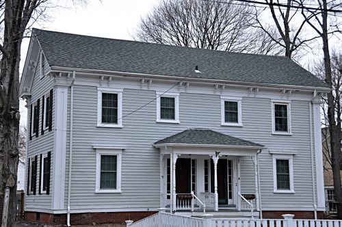
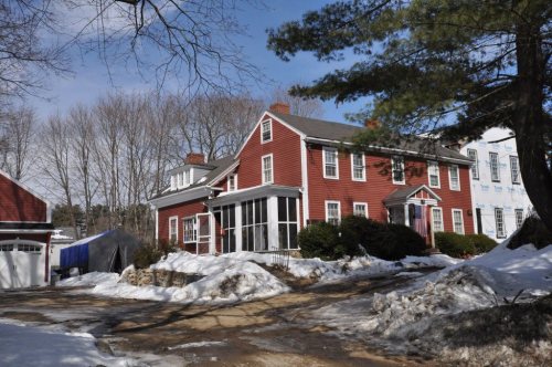
Stoneham dates to 1634, and 25% of its homes were built before 1940
More historic than 93% of U.S. towns · #107 of 283 in Massachusetts. What drives it
64 places in town are on the National Register, among them three historic districts with 55 buildings between them. Below: 1 old photo or paper, maps from 1887 on, and the census since 1790.
Founding year: Wikipedia. First post office: 1822.The full story ↓
History grade
What drives Stoneham’s History grade
On its age, its old homes and the National Register, Stoneham is more historic than 93% of U.S. towns, #107 of 283 in Massachusetts. All 3 inputs are above most U.S. towns; its age ranks highest and its National Register listings lowest.
A
HistoryA character grade: shown, never part of Stoneham’s overall grade.
Massachusetts towns list more on the Register than most of the country (a typical Massachusetts town has 46.0 per 10,000 residents, the U.S. 2.4), so Stoneham’s 52.2 sits near the middle of its state (50% of Massachusetts towns have fewer) while its 122 historic buildings outnumber those of 90% of U.S. towns.
How sure. Graded on any two of the three inputs instead, the letter would range from A− to A+. The pre-1940 share is a Census survey estimate (±3.7 points). Two sources give 1634.
Founding year: Wikipedia (other dates in Quick answers). Homes: Census ACS 2020–24. National Register: National Park Service, May 2026 list; each listing counted once (boundary changes and added documentation belong to their listing), and a historic district counts its contributing buildings. How TownRatings grades history →
What stands out about Stoneham’s past
Read from the archive, the National Register and the record. The page puts what stands out first.
The earliest documented mention of the territory now called Stoneham dates to 1632 when, on February 7, Governor Winthrop and his party came upon this area. They found Spot Pond and ate their lunch on a place they called Cheese Rock, now known as Bear Hill. Stoneham is situated on the traditional territory of the Massachusett and Pawtucket peoples.
Stoneham was first settled by colonists in 1634 and was originally a part of Charlestown. In 1678, there were six colonists with their families, all in the northeast part of the town, probably because of its proximity to the settlement in Reading (now Wakefield).
Passages that mention Stoneham, cut from the printed page as they were published.
A brief history of the town of Stoneham, Mass.1870 · page 17Read the page →
Read the text
with the Powers, Privileges and Immunities that the Inhabitants of any of the Towns of this Province by Law are or ought to be Vested with : And that the Inhabitants of the said Town of Stoneham do within the space of two Years from the Publication of this Act, Erect and Finish a suitable
Text read by machine from the scan; it may contain errors.
A brief history of the town of Stoneham, Mass.1870 · page 22Read the page →
Read the text
At a meeting held on the lirst day of November, 1774, the following patriotic resolves were passed. The preamble reads thus: We the inhabitants of the town of Stoneham being legally assembled, sincerely declare our strict attachment to the Constitution of our nation; and our unfeigned loyalty to our Kightful Lord and Sovereign King, George the Third ; ardently wishing that we might ever live in the utmost harmony with Great.
Text read by machine from the scan; it may contain errors.
Scans and text from the Internet Archive. Books published in 1930 or earlier, which are in the public domain.
By decade
Stoneham, decade by decade
One decade in the archive so far: the 1850s. Scroll each row; tap a photo for its story.
Every edition of the U.S. Geological Survey’s map of Stoneham. Tap a year, or press play to watch the town change.
1893Boston sheet · 1:62,500
U.S. Geological Survey historical topographic maps (public domain), via Esri’s collection of the scans. The red ring marks the center of Stoneham.
Every building
Stoneham, building by building, 1887–1916
Fire insurance maps drew every building, what it was made of and what it was used for, so insurers could price the risk of fire. Pick a year, then a sheet.
In 1634, according to Wikipedia’s history of the town. Stoneham’s post office opened in 1822, and the first U.S. census counted 381 people here in 1790.
How does Stoneham rank for history?
Stoneham is more historic than 93% of U.S. towns, #107 of 283 in Massachusetts. The History grade combines the town’s founding era, the share of homes built before 1940 and its National Register listings. It’s a character grade, so it isn’t part of the overall grade. How it works.
What is on the National Register in Stoneham?
64 listings: 60 buildings, among them the Almshouse (listed 1984, the first), 3 historic districts, the Central Square Historic District, the Middlesex Fells Reservoirs Historic District and the Nobility Hill Historic District, with 55 contributing buildings, and 1 site. 122 historic buildings in all.
How old are the homes in Stoneham?
25% of Stoneham’s homes were built before 1940 (Census estimate, ±3.7 points), against a typical 21% for a Massachusetts town; the median home was built in 1964.
Founding dates: Wikidata, Wikipedia, the U.S. post office records of Blevins & Helbock (CC0) and the Census. Homes by year built: Census ACS 2020–24. National Register of Historic Places: National Park Service (list of May 22, 2026). Old photos, postcards and papers: Wikimedia Commons, the Library of Congress and other public archives, credited on each item’s page. Maps: U.S. Geological Survey historical topographic maps (via Esri) and Sanborn fire-insurance maps (Library of Congress). History text and census tables: Wikipedia (CC BY-SA 4.0). Places that used to be: USGS Geographic Names Information System (2021).
From Wikimedia Commons (1), Wikidata (41), the National Register of Historic Places (64), Wikipedia, Wikidata and Wikipedia for famous people, U.S. Geological Survey historical maps, U.S. Census counts (via Wikipedia), the US Post Offices dataset (Blevins & Helbock), the USGS Geographic Names Information System, Sanborn fire insurance maps (Library of Congress) and old county and town histories (Internet Archive). Archive images are copied here with their credits and licenses, shown on each photo’s page. Refreshed monthly.