Somerville dates to 1630, and 59% of its homes were built before 1940
More historic than 94% of U.S. towns · #92 of 283 in Massachusetts. What drives it
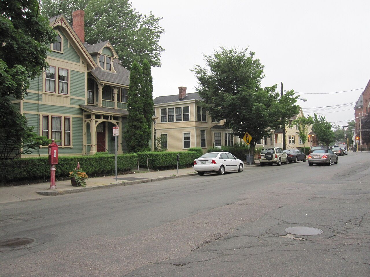
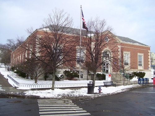
88 places in town are on the National Register, among them eight historic districts with 108 buildings between them. Below: maps from 1893 on and the census since 1850.
Founding year: Wikidata. First post office: 1844.The full story ↓
History grade
What drives Somerville’s History grade
On its age, its old homes and the National Register, Somerville is more historic than 94% of U.S. towns, #92 of 283 in Massachusetts. All 2 inputs are above most U.S. towns; its share of homes from before 1940 ranks highest and its National Register listings lowest.
A
HistoryA character grade: shown, never part of Somerville’s overall grade.
Massachusetts towns list more on the Register than most of the country (a typical Massachusetts town has 46.0 per 10,000 residents, the U.S. 2.4), so Somerville’s 25.4 sits near the middle of its state (38% of Massachusetts towns have fewer) while its 206 historic buildings outnumber those of 93% of U.S. towns.
NoteThe founding year comes from Wikidata alone; no second source gives 1630.
How sure. Graded on two of the three inputs, so a change in either one moves the letter more than it would with three. The pre-1940 share (±1.9 points) is firm at this size.
Founding year: Wikidata (other dates in Quick answers). Homes: Census ACS 2020–24. National Register: National Park Service, May 2026 list; each listing counted once (boundary changes and added documentation belong to their listing), and a historic district counts its contributing buildings. How TownRatings grades history →
What stands out about Somerville’s past
Read from the archive, the National Register and the record. The page puts what stands out first.
The area that would become Somerville was inhabited for thousands of years prior to European colonization, with multiple archaeological sites indicating habitation in the Mystic River watershed as early as the beginning of the Archaic Period (8000–1000 BCE). At the time of English contact in the 1600s, the Somerville area was inhabited by the Mystic Tribe of the Naumkeag people, headed by the Squaw Sachem and her son Wonohaquaham. Though no archaeological sites within Somerville have been identified from this time period, an indigenous settlement near College Hill in Somerville can be inferred from contemporary written records. The Mystic River continued to be an important regional core for the Naumkeag into the period of European colonization in the 16th and 17th centuries.
Passages that mention Somerville, cut from the printed page as they were published.
History of Middlesex County, Massachusetts1890 · page 53Read the page →
Read the text
together with ail the inhabitants and estates in the Fifth School District in Cambridge, east of Dana Street and a line extended in the same direction northerly to Charlestown (now Somerville), and southerly to the river, were incorporated as the Cambridgeport Parish; and, Feb. 2, 1809, the proprietors (reserving private ownership of pews) conveyed to the parish the meeting-house and lot, containing two
Text read by machine from the scan; it may contain errors.
W . r. Colson Apartment Hotel, City Stables and Central Fire Station, all in Somerville; the Ward 5 Engine-house and Ward i Schoolhouse, Cambridge, the latter costing $40,000. Plans for the addition made this year to the Glines schoolhouse, Somerville, were prepared by him, also for a new engine-house in Dedham, Mass. His work has been of such a character as necessarily to come under the observation of such men as ex-!vlayor Hodgkins, Win. H. Gray, superintendent of buildings, Cambridge, Hon. E. P. Cook, Portland, Me., Hon. Hannibal Hamlin, Ellsworth, Me., and others equally well known. Mr. Gould is a man who by careful attention to what he has undertaken has been able to accomplish re-
Text read by machine from the scan; it may contain errors.
In 1854 the Middlesex Railroad Company was chartered, with authority to build tracks in Somerville. but did not do so. Consequently, in 1857, the Somerville Horse Railroad was formed for that purpose, and its incorporators were George O. Brastow, Samuel A. Snow and Isaac V. Shepard. The first track built under this charter ran from Ihiion square to the Charlestown line, and was leased to the Middlesex Road.
Text read by machine from the scan; it may contain errors.
Scans and text from the Internet Archive. Books published in 1930 or earlier, which are in the public domain.
By decade
No old photos in the archives yet
Weddings on Main Street, storms, parades, school pictures, the old store. If it’s in your family album, it belongs here.
Be the first to add onePhotograph a print flat, in daylight, no flash.
In 1630, according to Wikidata. Somerville’s post office opened in 1844, and the census of 1850 counted 3,540 people here.
How does Somerville rank for history?
Somerville is more historic than 94% of U.S. towns, #92 of 283 in Massachusetts. The History grade combines the town’s founding era, the share of homes built before 1940 and its National Register listings. It’s a character grade, so it isn’t part of the overall grade. How it works.
What is on the National Register in Somerville?
88 listings: 79 buildings, 8 historic districts with 108 contributing buildings, and 1 site. 206 historic buildings in all.
How old are the homes in Somerville?
59% of Somerville’s homes were built before 1940 (Census estimate, ±1.9 points), against a typical 21% for a Massachusetts town; the median home was built in 1938.
Founding dates: Wikidata, Wikipedia, the U.S. post office records of Blevins & Helbock (CC0) and the Census. Homes by year built: Census ACS 2020–24. National Register of Historic Places: National Park Service (list of May 22, 2026). Old photos, postcards and papers: Wikimedia Commons, the Library of Congress and other public archives, credited on each item’s page. Maps: U.S. Geological Survey historical topographic maps (via Esri) and Sanborn fire-insurance maps (Library of Congress). History text and census tables: Wikipedia (CC BY-SA 4.0). Places that used to be: USGS Geographic Names Information System (2021).
From Wikidata (5), the National Register of Historic Places (88), Wikipedia, Wikidata and Wikipedia for famous people, U.S. Geological Survey historical maps, U.S. Census counts (via Wikipedia), the US Post Offices dataset (Blevins & Helbock), the USGS Geographic Names Information System, Sanborn fire insurance maps (Library of Congress) and old county and town histories (Internet Archive). Archive images are copied here with their credits and licenses, shown on each photo’s page. Refreshed monthly.