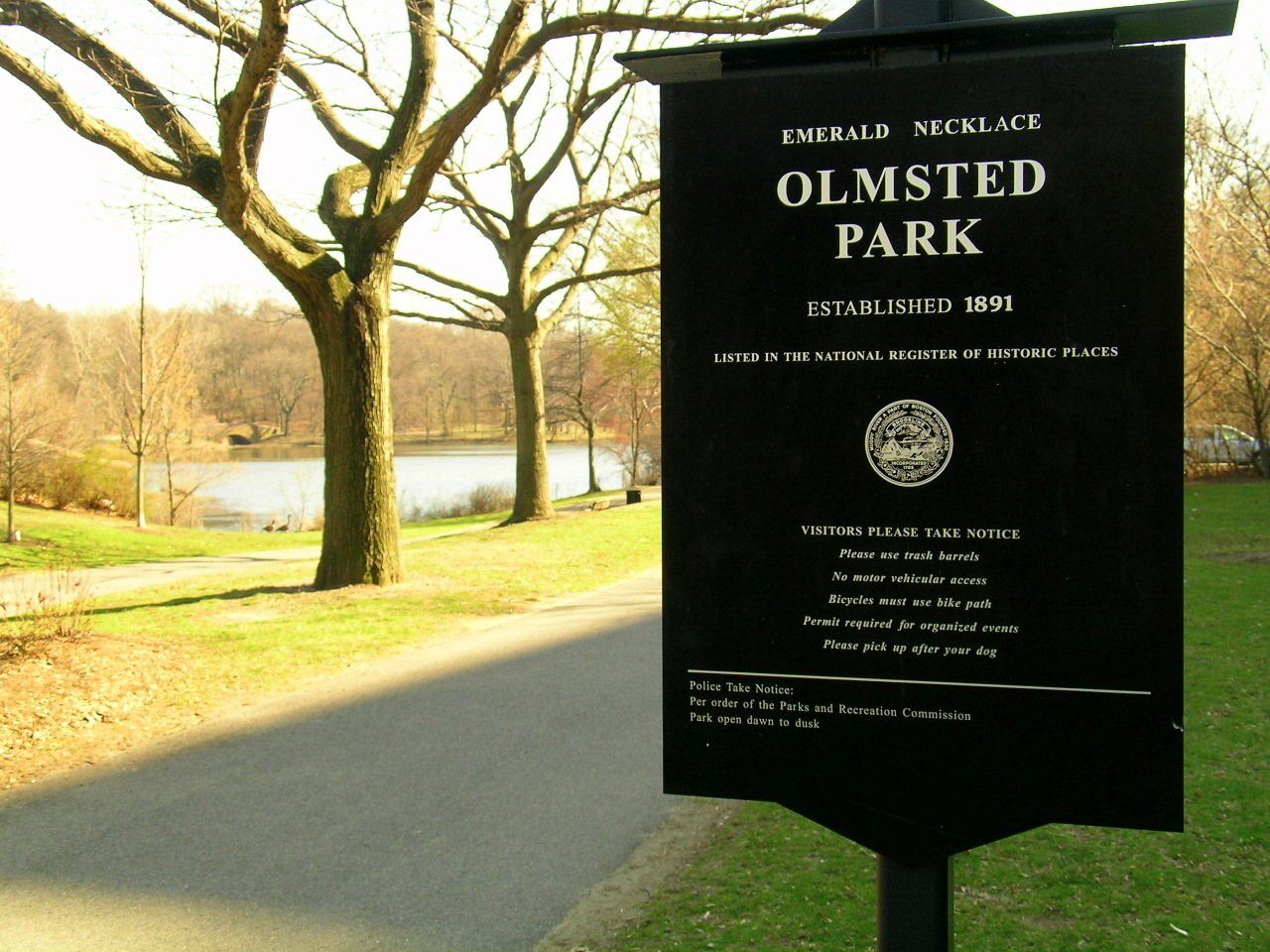
Olmsted Park System
About the district
Olmsted Park System, at Encompassing the Back Bay Fens, Muddy River, Olmsted (Leverett Park), Jamaica Park, Arborway, and Franklin Park, was added to the National Register of Historic Places on Dec 8, 1971. The Register lists it for its town planning, landscape design and recreation, at the national level. The listing covers 843 acres.
What it isChain of parks in Boston, Massachusetts. From Wikidata (CC0). Read about it on Wikipedia ↗
PDFRead the original nominationThe form that put it on the Register, with its history, photos and a map · 41 MB · National Archives↗Finding Olmsted Park System
Encompassing the Back Bay Fens, Muddy River, Olmsted (Leverett Park), Jamaica Park, Arborway, and Franklin Park, Boston


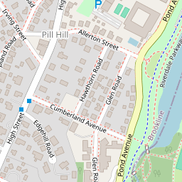


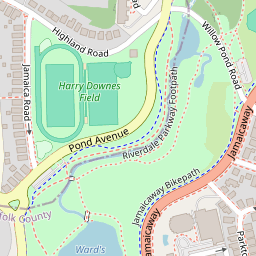


No other Register listing is within a short walk. The nearest are under Around it.
52 more Register listings within a mile
★ National Historic Landmark · D district · B building · S site. Each opens its own page.
Show the other 34
Memories of Olmsted Park System
The record says what it is. Neighbors know what it means.
Your answer becomes a post in Town Square.
Questions about Olmsted Park System
Is Olmsted Park System on the National Register of Historic Places?
Yes. It was added on Dec 8, 1971 (Register number 71000086).
Is Olmsted Park System a National Historic Landmark?
No. It is on the National Register; Massachusetts has 189 National Historic Landmarks. The nearest is Ellen H. Swallow Richards House, 0.7 miles away.
Can you visit Olmsted Park System?
It has its own website, the place to check whether and when it is open to visitors.
Where can I read the history of Olmsted Park System?
In its National Register nomination, the form that put it on the Register: a 41 MB PDF at the National Archives, linked on this page.
Sources: National Park Service, National Register of Historic Places (05/22/2026) · National Archives catalog record 63796450 · Wikidata. Map tiles © OpenStreetMap contributors.