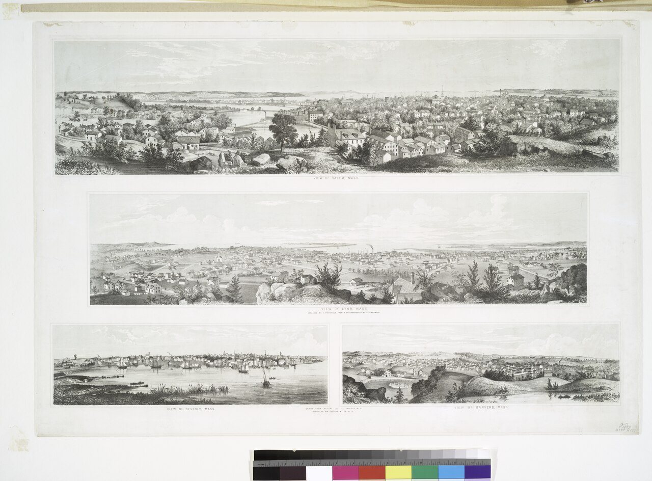
Beverly dates to 1626, and 35% of its homes were built before 1940
More historic than 97% of U.S. towns · #54 of 283 in Massachusetts. What drives it
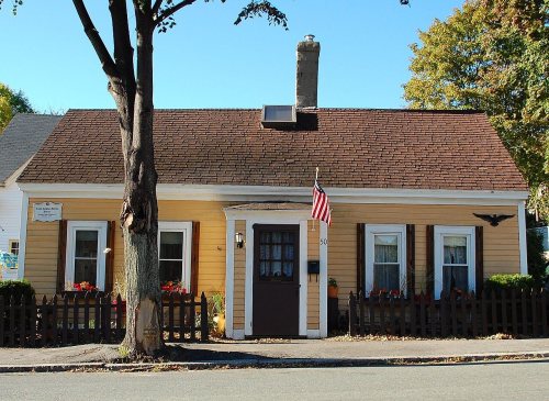
24 places in town are on the National Register, among them the Oliver Wendell Holmes House, a National Historic Landmark, and four historic districts with 207 buildings between them. Below: 36 old photos and papers, maps from 1886 on, and the census since 1790.
Founding year: Wikidata. First post office: 1844.The full story ↓
History grade
What drives Beverly’s History grade
On its age, its old homes and the National Register, Beverly is more historic than 97% of U.S. towns, #54 of 283 in Massachusetts. All 3 inputs are above most U.S. towns; its age ranks highest and its National Register listings lowest.
A+
HistoryA character grade: shown, never part of Beverly’s overall grade.
Massachusetts towns list more on the Register than most of the country (a typical Massachusetts town has 46.0 per 10,000 residents, the U.S. 2.4), so Beverly’s 53.2 sits near the middle of its state (51% of Massachusetts towns have fewer) while its 227 historic buildings outnumber those of 94% of U.S. towns.
NoteThe founding year comes from Wikidata alone; no second source gives 1626.
How sure. Graded on any two of the three inputs instead, the letter would range from A to A+. The pre-1940 share (±2.2 points) is firm at this size.
Founding year: Wikidata (other dates in Quick answers). Homes: Census ACS 2020–24. National Register: National Park Service, May 2026 list; each listing counted once (boundary changes and added documentation belong to their listing), and a historic district counts its contributing buildings. How TownRatings grades history →
What stands out about Beverly’s past
Read from the archive, the National Register and the record. The page puts what stands out first.
The country’s official list of buildings and places worth saving. One is a National Historic Landmark, the highest tier. Boundary changes and added documentation are counted with their listing.
Nothing in the archives for these yearsWeddings on Main Street, storms, parades, school pictures, the old store. If it’s in your family album, it belongs here.
Native Americans inhabited what would become northeastern Massachusetts for thousands of years before the European colonization of the Americas. At the time of European contact in the early 1600s, the area that would become Beverly was between an important Naumkeag settlement in present-day Salem and Agawam settlements on Cape Ann, with probable indigenous settlement sites at the mouth of the Bass River. During the early contact period, virgin soil epidemics ravaged native populations, reducing the indigenous population within the present boundaries of Beverly from an estimated 200 to less than 50 if there were any survivors.
Passages that mention Beverly, cut from the printed page as they were published.
History of Essex County, Massachusetts, with biographical sketches of many of its pioneers and prominent men1888 · page 684Read the page →
Read the text
First Church of Beverly. — The records of the First Church contain a faithful description of the first foundation in Beverly, as follows : " The Lord in mercy alluring and bringing over into this wilderness of New England, many of his faithfull servants from England, who:<e aymes were to worship God in purity according to his word; they, in pursuance of that work, began to sett up particular
Text read by machine from the scan; it may contain errors.
History of Essex County, Massachusetts, with biographical sketches of many of its pioneers and prominent men1888 · page 490Read the page →
Read the text
no compensation, the energetic inhabitants attempted a remedy. They built a bridge of their own across Porter's River in 1788. The land on the other side of the river then was a part of Beverly. Later, some three years after the incorporation of the iron works at Water's River, Samuel Page, Thomas Putnam, Caleb Oakes, Samuel Endicott, John Page and Hezekiah Flint were, June 23, 1803, incorporated as the
Text read by machine from the scan; it may contain errors.
Scans and text from the Internet Archive. Books published in 1930 or earlier, which are in the public domain.
On the map
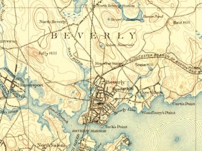
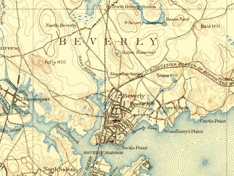
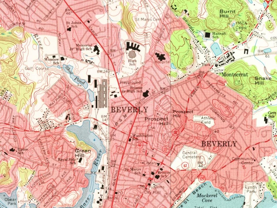
Beverly on the map, 1888 to 1985
Every edition of the U.S. Geological Survey’s map of Beverly. Tap a year, or press play to watch the town change.
1888Salem sheet · 1:62,500
U.S. Geological Survey historical topographic maps (public domain), via Esri’s collection of the scans. The red ring marks the center of Beverly.
Every building
Beverly, building by building, 1886–1907
Fire insurance maps drew every building, what it was made of and what it was used for, so insurers could price the risk of fire. Pick a year, then a sheet.
In 1626, according to Wikidata. Beverly’s post office opened in 1844, and the first U.S. census counted 3,290 people here in 1790.
How does Beverly rank for history?
Beverly is more historic than 97% of U.S. towns, #54 of 283 in Massachusetts. The History grade combines the town’s founding era, the share of homes built before 1940 and its National Register listings. It’s a character grade, so it isn’t part of the overall grade. How it works.
What is on the National Register in Beverly?
24 listings: 18 buildings, among them the Oliver Wendell Holmes House (a National Historic Landmark since 1972), 4 historic districts with 207 contributing buildings, and 2 structures. 227 historic buildings in all.
How old are the homes in Beverly?
35% of Beverly’s homes were built before 1940 (Census estimate, ±2.2 points), against a typical 21% for a Massachusetts town; the median home was built in 1956.
Founding dates: Wikidata, Wikipedia, the U.S. post office records of Blevins & Helbock (CC0) and the Census. Homes by year built: Census ACS 2020–24. National Register of Historic Places: National Park Service (list of May 22, 2026). Old photos, postcards and papers: Wikimedia Commons, the Library of Congress and other public archives, credited on each item’s page. Maps: U.S. Geological Survey historical topographic maps (via Esri) and Sanborn fire-insurance maps (Library of Congress). History text and census tables: Wikipedia (CC BY-SA 4.0). Places that used to be: USGS Geographic Names Information System (2021).
From Wikimedia Commons (23), the Library of Congress (13), Wikidata (6), the National Register of Historic Places (24), Wikipedia, Wikidata and Wikipedia for famous people, U.S. Geological Survey historical maps, U.S. Census counts (via Wikipedia), the US Post Offices dataset (Blevins & Helbock), the USGS Geographic Names Information System, Sanborn fire insurance maps (Library of Congress) and old county and town histories (Internet Archive). Archive images are copied here with their credits and licenses, shown on each photo’s page. Refreshed monthly.


 ★ Landmark


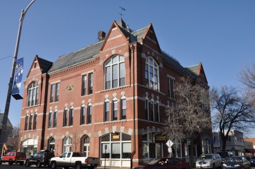


 1805
 1805
 1805
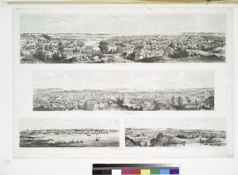 1850
 1875
 1890
 1890
 1890
 1890
 1890
 1890
 1890
 1898–1901
 1900
 1905
 c. 1906
 c. 1906
 c. 1906
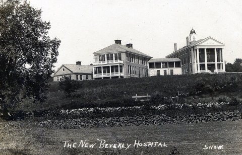 1907
 1907–1915
 1907–1915
 c. 1907
 1907
 1907
 1907–1915
 1907
 1908
 c. 1908
 1909
 1909
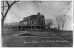 1909
 1909
 1909
 1910
 1910
 1910