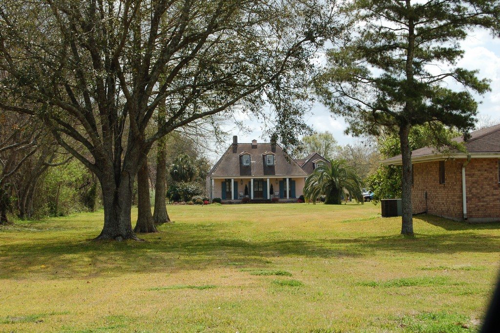
Dorvin House · National Register of Historic Places
Taft’s story
121 years in pictures
1 place on the National Register of Historic Places.
- 1905Taft is settled
Each edition grades its towns against each other only.

A town of 112, settled in 1905.
100% of households own their home in Taft, above both Louisiana’s towns (68%) and U.S. towns (73%). Taft’s trail density is 1.4 miles per square mile, where Louisiana’s towns sit at 0.2 and U.S. towns at 0.4. Dorvin House is on the National Register of Historic Places. Taft has fewer than 1,000 residents, too few for fair grades; the figures below are still real.
In a town this size, neighbors are the best guide. Ask them anything.
1 place on the National Register of Historic Places.
Taft is unincorporated, so St. Charles Parish and regional agencies provide most services.
EPA SDWIS (Oct 9, 2026) · HIFLD + EIA-861 2025 · Census 2020 ZCTAs · NCES 2024–25 · registration: vote.gov, updated Aug 3, 2026.
Ordered by what stands out in Taft.
Expected storm and flood damage is higher than in 93% of U.S. communities. Since 1978, 85 flood insurance claims have been paid out in Taft.
FEMA flood insurance claims · FEMA National Risk Index · OpenFEMA
Taft has warm winters and warm summers, with plenty of rain. Taft’s July high is 92°F.
NOAA U.S. Climate Normals, 1991–2020
Taft beats the Louisiana average on 1 of 32 CDC measures and trails it on 2. 45% of adults sleep under 7 hours in Taft. Among 162 Louisiana towns, just 6 have a lower share of adults who have been diagnosed with depression than Taft.
| Taft | Louisiana towns | U.S. towns | |
|---|---|---|---|
| Sleep under 7 hours (CDC PLACES) | 45% | 42% | 36% |
| High blood pressure (CDC PLACES) | 47% | 44% | 35% |
| Diabetes (CDC PLACES) | 16% | 16% | 12% |
| Food insecurity (CDC PLACES) | 26% | 26% | 14% |
| What stands out | Taft | LA |
|---|---|---|
| Fewer adults who have had cancer | 6.3% | 7.5% |
| More adults facing housing insecurity | 20.2% | 16.8% |
CDC PLACES 2025 · modeled estimates for adults · CMS · HRSA
Trails & parks © OpenStreetMap contributors · Conserved land: USGS PAD-US
Museums, parks, gardens and other places to visit around Taft. Close and well known come first.
 Big draw22 mi Stadium & arenaCaesars Superdome
 Big draw25 mi LakeLake Pontchartrain
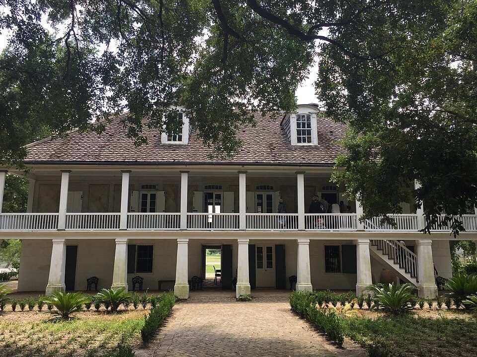 12 mi MuseumWhitney Plantation Historic District
 23 mi MuseumNational World War II Museum707K visitors a year
 22 mi GardenCity Park
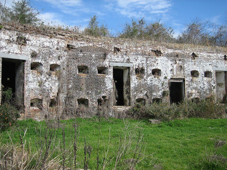 39 mi LandmarkFort Macomb
Caesars Superdome: Infrogmation of New Orleans, CC BY-SA 3.0 · Lake Pontchartrain: Mersh13, CC BY-SA 3.0 · Whitney Plantation Historic District: Bill Leiser, CC BY-SA 4.0 · National World War II Museum: Nolabob, CC BY-SA 3.0 · City Park: Infrogmation of New Orleans, CC BY 2.5 · Fort Macomb: Infrogmation, CC BY 2.5
None within 15 miles of Taft; the nearest are
About 0 of every 100 Taft residents are enrolled in college, against 6 across Louisiana.
Census-designated place in Louisiana, United States
Taft is a census-designated place (CDP) in St. Charles Parish, Louisiana, United States, located on the west bank of the Mississippi River. As of the 2020 census, Taft had a population of 61. The community is part of the industrial corridor along the Mississippi River between New Orleans and Baton Rouge. Taft is the location of the Dow St. Charles Operations chemical complex, part of the Waterford Nuclear Generating Station, and other industrial facilities.
From Wikipedia, licensed CC BY-SA 4.0 · facts via Wikidata (CC0)
Short answers, built from the data on this page.
Taft has fewer than 1,000 residents, too few for fair grades; the figures below are still real.


