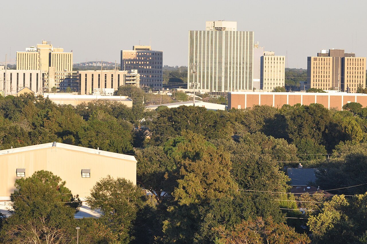
125 years in pictures
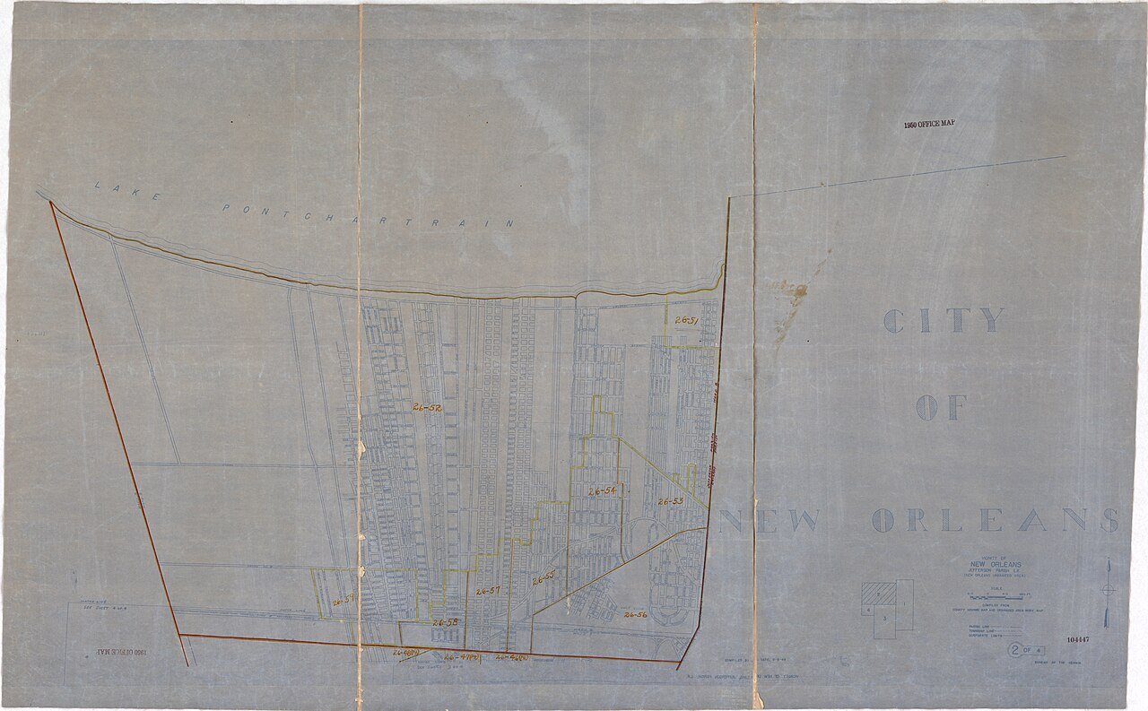
Census counts: 136,477 in 1970, 143,507 in 2020. The archive holds 24 old photos and papers going back to 1880 and 7 maps from 1891 on.
1 place on the National Register of Historic Places.
- 1901Metairie is settled

Each edition grades its towns against each other only.

A city of 139,729, settled in 1901.
For a city of 139,729, Metairie does unevenly: it grades C, 67th among Louisiana's 161 graded towns. It is more walkable than 76% of U.S. towns. The trade-offs: FEMA rates its natural-hazard risk higher than 97% of U.S. communities, with hurricanes at the top, and the typical home is worth about $319K, 5.1 years of the New Orleans metro’s $63K median household income. On health, just 23 of Louisiana’s 254 towns do better. Metairie is home to Herzing University-New Orleans. Only 7 of the 161 Louisiana towns we compare have a higher share of adults with a bachelor’s degree than Metairie.
Where Metairie beats most towns, and one thing worth knowing.
| College | Students |
|---|---|
| Herzing University-New Orleans | 127 |
Each subject compared with towns across the country (schools within Louisiana), ordered by how far Metairie is from typical.
How TownRatings grades towns →

Census counts: 136,477 in 1970, 143,507 in 2020. The archive holds 24 old photos and papers going back to 1880 and 7 maps from 1891 on.
1 place on the National Register of Historic Places.
Museums, parks, gardens and other places to visit around Metairie. Close and well known come first.
Big draw7 mi Stadium & arenaCaesars Superdome
Big draw14 mi LakeLake Pontchartrain
7 mi MuseumNational World War II Museum707K visitors a year
5 mi GardenCity Park
8 mi Stadium & arenaLakefront Arena
5 mi MuseumNew Orleans Museum of ArtCaesars Superdome: Infrogmation of New Orleans, CC BY-SA 3.0 · Lake Pontchartrain: Mersh13, CC BY-SA 3.0 · National World War II Museum: Nolabob, CC BY-SA 3.0 · City Park: Infrogmation of New Orleans, CC BY 2.5 · Lakefront Arena: Spatms, CC BY-SA 4.0 · New Orleans Museum of Art: Infrogmation, CC BY-SA 4.0
Metairie is unincorporated, so Jefferson Parish and regional agencies provide most services.
EPA SDWIS (Oct 9, 2026) · HIFLD + EIA-861 2025 · Census 2020 ZCTAs · NCES 2024–25 · registration: vote.gov, updated Aug 3, 2026.
Ordered by what stands out in Metairie.
Metairie has milder winter nights than nearly all U.S. towns, looks healthier within Louisiana than nationally and has home values still below their peak.
16 miles of trail in 12 parks and preserves. At 0.7 miles per square mile, Metairie’s trail density is where Louisiana’s towns sit at 0.2 and U.S. towns at 0.4. Lafreniere Park, at 147 acres with 4.3 miles of trail, is the biggest park or preserve.
| Metairie | Louisiana towns | U.S. towns | |
|---|---|---|---|
| Miles of trail per square mile | 0.7 miles per square mile | 0.2 | 0.4 |
| Conserved land | 2.6% | 1.2% | 4.3% |
| Biggest places to walk | Trails | Acres |
|---|---|---|
| 1. Lafreniere Park | 4.3 mi | 147 |
| 2. Miley Park | 0.6 mi | 30 |
| 3. La Salle Park | 0.5 mi | 109 |
Trails & parks © OpenStreetMap contributors · Conserved land: USGS PAD-US
Its public schools are run by the Jefferson Parish school district. Three of its 40 schools are below, each with why it’s listed.
| School | Level | Students | Letter |
|---|---|---|---|
| J.D. Meisler Middle SchoolLargest public middle schoolGrades 6–8 | Grades 6–8 | 679 | C |
| Bonnabel Magnet Academy High SchoolLargest public high schoolGrades 9–12 | Grades 9–12 | 2,376 | C− |
| Haynes Academy School for Advanced StudiesTop results in townGrades 6–12 | Grades 6–12 | 872 | A+ |
NCES · EDFacts · graded within LA on state tests and graduation
Since 1978, 10,726 flood insurance claims have been paid out in Metairie. Only 8 of the 162 Louisiana towns we compare have a higher FEMA risk score than Metairie.
FEMA flood insurance claims · FEMA National Risk Index · OpenFEMA
The typical value, about $319K, is 8% below its July 2022 peak. The median property tax bill is $1,814, against $1,180 across Louisiana, another input to its cost-of-living grade.
Typical home values rose 5.4% in the year to September 2026. 62% of Metairie households own their home, below both Louisiana’s towns (68%) and U.S. towns (73%).
| Metairie | Louisiana towns | U.S. towns | |
|---|---|---|---|
| Households that own their home | 62% | 68% | 73% |
| Renters paying 30%+ of income on rent | 50% | 59% | 48% |
| Median rent | $1,175 a month | $989 a month | $1,185 a month |
Census ACS, 2020–24 · Zillow Home Value Index · Redfin Data Center
January nights average 44.2°, milder than in 96% of U.S. towns; July afternoons average 91.5°.
Metairie has warm winters and warm summers, with plenty of rain. Metairie’s January low is 44°F. Snow is almost unheard of.
| Metairie | Louisiana towns | U.S. towns | |
|---|---|---|---|
| January low | 44°F | 42°F | 22°F |
| July high | 92°F | 92°F | 85°F |
NOAA U.S. Climate Normals, 1991–2020
About one in 4 of Metairie’s working residents works in town. 13% of residents live below the poverty line in Metairie. The top destinations are New Orleans (29%), Kenner (6%) and Elmwood (6%).
| Metairie | Louisiana towns | U.S. towns | |
|---|---|---|---|
| Working residents who work in town | 25% | 9.8% | 8% |
| Below the poverty line | 13% | 20% | 9.6% |
| Average trip to work | 22 minutes | 25 minutes | 25 minutes |
| Work from home | 11% | 5.6% | 11% |
Census LEHD 2023 · ACS
Within Louisiana it is healthier than 89% of the 161 graded towns: much of Louisiana scores lower on these measures. Its widest gap with Louisiana is tooth loss: 10.6% of those 65+ have lost all their teeth, against 18.1% statewide.
Metairie beats the Louisiana average on 19 of 32 CDC measures and trails it on 1. 13% of Metairie adults smoke cigarettes. Among 161 Louisiana towns, just 6 have a lower share of adults who report frequent mental distress than Metairie.
| Metairie | Louisiana towns | U.S. towns | |
|---|---|---|---|
| Smoke cigarettes (CDC PLACES) | 13% | 19% | 14% |
| Frequent physical distress (CDC PLACES) | 13% | 16% | 14% |
| Frequent mental distress (CDC PLACES) | 17% | 20% | 17% |
| Food insecurity (CDC PLACES) | 16% | 26% | 14% |
| What stands out | Metairie | LA |
|---|---|---|
| Fewer older adults who have lost all their teeth | 10.6% | 18.1% |
| Fewer adults facing food insecurity | 16% | 22.5% |
| More adults who have had cancer | 8.6% | 7.5% |
CDC PLACES 2025 · modeled estimates for adults · CMS · HRSA
14 within 15 miles of the center of Metairie
About 5 of every 100 Metairie residents are enrolled in college, about the same as Louisiana.
33 notable people were born in Metairie.


Census-designated place in Louisiana, United States
Metairie ( MET-ər-ee) is an unincorporated community and census-designated place (CDP) in Jefferson Parish, Louisiana, United States, and is part of the New Orleans metropolitan area. With a population of 143,507 in 2020, Metairie is the largest community in Jefferson Parish, the fifth-largest CDP in the United States, and the largest outside Clark County, Nevada. It is an unincorporated area that (as of 2020) would have been Louisiana's fourth-largest city behind Shreveport if incorporated.
From Wikipedia, licensed CC BY-SA 4.0 · facts via Wikidata (CC0)
3 towns share a border with Metairie.
| Town | LA rank | Overall | Cost | Safety | Schools | Health |
|---|---|---|---|---|---|---|
| Metairie | #67 | C | C− | — | B | B− |
| Kenner | #128 | D | C | C− | B | C |
| New Orleans | #159 | D− | D | — | D− | C+ |
| River Ridge | #50 | C+ | C− | — | B | B |
Metairie, New Orleans and River Ridge report no FBI crime data of their own. Compare Metairie with a neighbor →
Short answers, built from the data on this page.
Metairie grades C overall, better than 33% of U.S. towns and #67 of 161 in Louisiana. It grades B− for health and B for schools. Hazard risk is its weak spot, with a D−.
Yes. Cost of living, which also weighs rents, property taxes and how many households pay 30% or more of their income for housing, grades C−.
33 notable people were born here, including Ellen DeGeneres and Sal Khan.