Every edition of the U.S. Geological Survey’s map of Severance. Tap a year, or press play to watch the town change.
1885Atchison sheet · 1:125,000
U.S. Geological Survey historical topographic maps (public domain), via Esri’s collection of the scans. The red ring marks the center of Severance.
Every building
Severance, building by building, 1893–1911
Fire insurance maps drew every building, what it was made of and what it was used for, so insurers could price the risk of fire. Pick a year, then a sheet.
1893Sheet 1 of 1
Edition
Sheets
BrickWoodStone
Sanborn Map Company, via the Library of Congress. Editions published in 1930 or earlier, which are in the public domain.
Severance was laid out in 1869. It was named for John Severance, one of its founders. A railroad depot was built in Severance in 1874. Severance was incorporated as a city in 1877.
A post office was opened in Severance in 1869, and remained in operation until it was discontinued in 1992.
Passages that mention Severance, cut from the printed page as they were published.
Gray's Doniphan County history. A record of the happenings of half a hundred years1905 · page 77Read the page →
Read the text
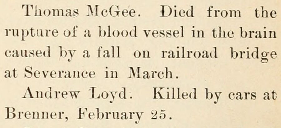
Thomas McGee. Died from the rupture of a blood vessel in the brain caused by a fall on railroad bridge at Severance in March. Andrew Loyd. Killed by cars at Brenner, February 25.
Text read by machine from the scan; it may contain errors.
Gray's Doniphan County history. A record of the happenings of half a hundred years1905 · page 49Read the page →
Read the text
One of the most interesting games of bass ball ever played in the county, was played at Severance on July 4, 1896, between the Severance News club of little girls and the "old boys" of the G. A. R.
Text read by machine from the scan; it may contain errors.
Scans and text from the Internet Archive. Books published in 1930 or earlier, which are in the public domain.
Timeline
Severance, 1869 to 1885
Woven from the archive, old maps, post office records, the National Register and the people born here.
Founding dates: Wikidata, Wikipedia, the U.S. post office records of Blevins & Helbock (CC0) and the Census. Homes by year built: Census ACS 2020–24. National Register of Historic Places: National Park Service (list of May 22, 2026). Old photos, postcards and papers: Wikimedia Commons, the Library of Congress and other public archives, credited on each item’s page. Maps: U.S. Geological Survey historical topographic maps (via Esri) and Sanborn fire-insurance maps (Library of Congress). History text and census tables: Wikipedia (CC BY-SA 4.0). Places that used to be: USGS Geographic Names Information System (2021). How TownRatings grades history →
From Wikimedia Commons (1), Wikipedia, Wikidata and Wikipedia for famous people, U.S. Geological Survey historical maps, U.S. Census counts (via Wikipedia), the US Post Offices dataset (Blevins & Helbock), the USGS Geographic Names Information System, Sanborn fire insurance maps (Library of Congress) and old county and town histories (Internet Archive). Archive images are copied here with their credits and licenses, shown on each photo’s page. Refreshed monthly.




 2004