Guest, Sign inJoin

Post to Lenexa

We’ll email a one-tap link to publish your post. No password, and nothing is public until you click it.
Already a member? Sign in
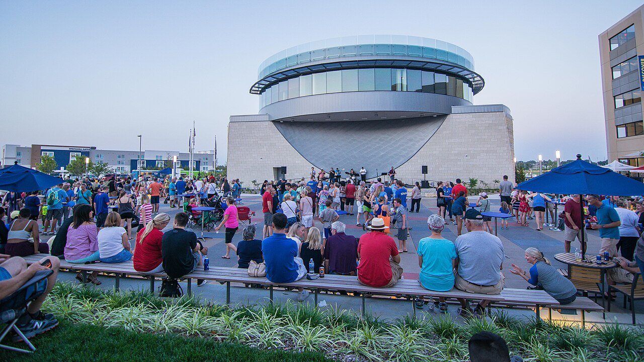
Lenexa City CenterPhoto: Kelseyneth · CC BY-SA 4.0
A−Outdoors
Outdoors in Lenexa

Lenexa has 2,119 acres of parks, 36 for every 1,000 residents

The biggest trail networks: Shawnee Mission Park (9.7 mi), Black Hoof Park (1.3 mi), Buffalo Meadows Park (0.8 mi). 90% of residents live within a half mile of a park. 8% of Lenexa’s land is conserved, about 1,717 acres.

Ahead of 84% of U.S. towns · #9 of 151 in Kansas. What drives it

Conserved land
8%
1,717 acres · of 34.1 sq mi of land
Trails
20 mi
0.6 per sq mi of land
Park land
2,119 ac
36 acres per 1,000 residents
Near a park
90%
of residents within ½ mile
Bike routes
56 mi
3.1 mi lanes · 42 mi paths
Lakes & rivers
9
1 beach · 1 boat launch

What kind of outdoors town is Lenexa?

Read from the map. The page puts what stands out first.

Outdoors grade

How much outdoors does Lenexa have?

On conserved land, trails, park land and how close residents live to a park, Lenexa is ahead of 84% of U.S. towns, #9 of 151 in Kansas. All four inputs are above most U.S. towns; park acres per resident rank highest, trail miles lowest.

A−
OutdoorsA character grade: shown, never part of Lenexa’s overall grade.
All U.S. towns we grade (21,298)Ahead of 84%
LessMore
Kansas towns of 2,500+ (151)Ahead of 95%

Few Kansas towns conserve much land (a typical one, 2%; the U.S., 4%), so Lenexa’s 8% is ahead of 93% of Kansas towns, while its trails per square mile lead 74% of them.

How sure. Graded on any three of the four inputs instead, the letter would range from A− to A. Trails and many small parks come from OpenStreetMap, mapped by volunteers, so coverage varies from town to town; the half mile is a straight line from each census block, so a river or highway in the way isn’t counted against it.

PAD-US, OpenStreetMap (© OpenStreetMap contributors), Census 2025 Gazetteer and 2020 blocks; details in Sources below. How TownRatings grades the outdoors →

The map

Conserved land, trails & bike routes

Tap a number to zoom to a park. Tap a layer to hide it.

123456
Easements protect land from building but are usually private.© OpenStreetMap contributors · USGS PAD-US
Places to walk

Pick a walk

The longest trail network is Shawnee Mission Park, with 9.7 miles. Directions go to the nearest trailhead or public parking.

Shawnee Mission Park

Managed by Johnson County Park and Recreation District
795 acres9.7 mi of trail
South Shore East LoopEquestrian TrailSouth Shore Middle LoopSouth Shore Trail+1
Dog rules not recorded
Directionsto the trailheadWebsite ↗

Black Hoof Park

Park
267 acres1.3 mi of trail
Dog rules not recorded
Directionsto the parking lot

Buffalo Meadows Park

Park
20 acres0.8 mi of trail
Dog rules not recorded
Directionsto the parking lot

Sar-Ko-Par Trails Park

Park
52 acres0.5 mi of trail
Dog rules not recorded
Directionsto the parking lot

Electric Park

Park
18 acres0.5 mi of trail
Dog rules not recorded
Directionsto the parking lot

Central Green Park

Park
23 acres0.4 mi of trail
Dog rules not recorded
Directionsto the parking lot
All 35 parks & preserves
Shawnee Mission Park795 acres · 9.7 mi of trail · Johnson County Park and Recreation District
Directions
Black Hoof Park267 acres · 1.3 mi of trail
Directions
Buffalo Meadows Park20 acres · 0.8 mi of trail
Directions
Sar-Ko-Par Trails Park52 acres · 0.5 mi of trail
Directions
Electric Park18 acres · 0.5 mi of trail
Directions
Central Green Park23 acres · 0.4 mi of trail
Directions
Mill Creek Streamway Park193 acres · 0.2 mi of trail
Directions
Matt Tylor Park3 acres · 0.2 mi of trail
Directions
WaterCrest Residential1 acres · 0.2 mi of trail
Directions
Little Mill Creek North Park22 acres · 0.1 mi of trail
Directions
Flat Rock Creek Park13 acres · 0.1 mi of trail
Directions
Bois D Arc Park4 acres · 0.1 mi of trail
Directions
Greystone West Park2 acres · 0.1 mi of trail
Directions
Tamarisk Park1 acres · 0.1 mi of trail
Scouting Park1 acres · 0.1 mi of trail
Directions
Prairie Star Parkway Access Park91 acres
Directions
Powder Creek Shooting Park71 acres
87th Lane Access Park41 acres
Directions
Craig Crossing Park37 acres
Directions
Oak Valley Park33 acres
Directions
Freedom Fields32 acres · City of Lenexa
Directions
Little Mill Creek South Park22 acres
Directions
Hidden Woods Park16 acres
Directions
Ad Astra Park9 acres
Directions
Post Oak Park7 acres
Directions
Gillette Park4 acres
Gleason Glen Park3 acres
Harmony Park2 acres
John McNerney Park1 acres
Directions
Green Prairie Park1 acres
Directions
Na Nex Se Park1 acres · City of Lenexa
Wild Bill Hickock Park1 acres
Kickapoo Park1 acres
Trafalgar Park1 acres
Directions
Bradshaw Park1 acres
Directions
Who protects it

1,717 conserved acres

8% of Lenexa’s land. Who manages Lenexa’s conserved land, from the USGS Protected Areas Database. Approximate, because parcels can overlap.

Town or city1,716 ac
Local Park · 1,625 acLocal Recreation Area · 68 acLocal Conservation Area · 23 ac
The biggest protected parcels
Parcel (PAD-US)Managed byAcresPublic access
Shawnee Mission
Local Park
Town or city687Open
Black Hoof
Local Park
Town or city217Open
Mill Creek Streamway
Local Park
Town or city213Open
Cedar Station
Local Park
Town or city67Open
95Th And Cedar Niles
Local Park
Town or city60Open
Little Mill Creek North
Local Park
Town or city51Open
Sar-Ko-Par Trails
Local Park
Town or city49Open
Oak Valley
Local Park
Town or city46Open
Coon Creek Greenway
Local Park
Town or city41Open
Freedom Fields
Local Recreation Area
Town or city38Open

5 smaller protected places aren’t shown.

Things to do

130 places to go in Lenexa

Beaches, playgrounds, peaks, falls and more. Pick a kind.

Disc golf in Lenexa
1In Shawnee Mission Park
Directions
2In Shawnee Mission Park
Directions
3In Shawnee Mission Park
Directions
4In Shawnee Mission Park
Directions
5In Shawnee Mission Park
Directions
8In Shawnee Mission Park
Directions
StartIn Shawnee Mission Park
Directions

Plus 10 disc golf without a name on the map.

Trails & water

7 named trails and 9 lakes & rivers

Named trails
Open to bikes · 4.3 miHorses · 2.6 miUnpaved · 8.4 mi
South Shore East Loop2.8 mi
Equestrian Trail2.0 mi
South Shore Middle Loop1.0 mi
South Shore Trail0.9 mi
Connector0.7 mi
South Shore West Loop0.7 mi
Ridge Drive Trail0.6 mi
Lakes & rivers tap for directions
Biking & sports

56 miles of bike routes

Bike lanes are often missing from the map in smaller towns, so that number is likely low.

3.1 mi
painted or protected bike lanes
42 mi
off-road bike paths
11 mi
shoulders & shared lanes
Courts & fields
24Baseball
24Basketball
24Tennis
8Pickleball
6Multi-sport
6Soccer
5Beach volleyball
3Football

Includes school and college facilities, which aren’t always open to the public.

When to get out

April is the best month for walking in Lenexa

NOAA’s 1991–2020 normals for the town and the daylight at its latitude. Outlined months have long days, highs of 59 to 86 °F and little rain for the place.

JanFebMarAprMayJunJulAugSepOctNovDec
Daylight (h)9.710.711.813.214.314.914.613.712.411.110.09.4
High (°F)394556667585898880685443
Rain (in)1.11.52.43.95.45.24.54.43.93.22.11.6

January is the driest month (1.1 in) and July the warmest (highs of 89 °F). 5.4 inches fall in May, the wettest month. Summer highs reach 89 °F, too hot for the outline. The climate in Lenexa →

Next door

Lenexa and its neighbors

Tap a town to see its outdoors.

TownConserved
of land
Trail mi
per sq mi
Park acres
per 1,000
Near a park
½ mile
Outdoors
Lenexa8%0.63690%A−
Shawnee9%1.14084%A
Olathe5%0.41589%B+
Overland Park5%0.61393%B+
De Soto2%0.14869%B−

The four inputs of the Outdoors grade, from the engine; shares are of land, not water.

Questions about parks and trails in Lenexa

Where can I hike in Lenexa?

The longest trail networks: Shawnee Mission Park, 9.7 miles; Black Hoof Park, 1.3 miles; Buffalo Meadows Park, 0.8 miles; Sar-Ko-Par Trails Park, 0.5 miles. Each one is on the map above, with directions to the nearest trailhead or parking.

How much of Lenexa is conserved land?

8% of its land, against a typical 2% for a Kansas town and 4% nationally (PAD-US). Conserved doesn’t always mean open to visitors: easements are usually private land.

Are dogs allowed on Lenexa’s trails?

Shawnee Mission Park and Black Hoof Park don’t have dog rules recorded on the map; check the signs at the trailhead.

Where can I bike in Lenexa?

56 miles of bike routes are on the map: 3.1 of painted or protected lanes, 42 of off-road paths and 11 of shoulders and shared lanes.

Is there public land near Lenexa?

20,460 acres of parks and open public land lie inside Lenexa or within 10 miles of it (PAD-US), 2,119 of them inside the city line.

How much outdoors does Lenexa have?

Ahead of 84% of U.S. towns on the Outdoors grade, #9 of 151 in Kansas. The grade combines the share of land that is conserved, miles of mapped trail per square mile of land, park acres per 1,000 residents and the share of residents within a half mile of a park. It’s a character grade, so it isn’t part of the overall grade. How it works.

Trail talk

Conditions, parking and favorite walks from Lenexa neighbors.
Town Square →
Share a tip
Sources

Where this page comes from

Conserved and public land: USGS Protected Areas Database of the United States (PAD-US), service updated July 2026. Parks, trails, playgrounds, beaches and other places: OpenStreetMap (© OpenStreetMap contributors, ODbL), map data as of 2026-10-28. Land and water area: Census 2025 Gazetteer. Residents near a park: 2020 Census blocks. National Register: National Park Service. How TownRatings grades the outdoors →