Peaked at 276 in 1910; 90 people lived here in 2020.
15 censuses, 1880–2020.
U.S. Census Bureau decennial counts, from the census table on Hepler’s Wikipedia page.
From the old history books
What they wrote about Hepler in 1905
Passages that mention Hepler, cut from the printed page as they were published.
A Twentieth century history and biographical record of Crawford County, Kansas1905 · page 33Read the page →
Read the text
The town of Hepler is located in the township of Sherman, in the northern part of the county, about nine miles northeast of Walnut, on the M., K. & T. Railroad, and is a trading point for the people of the northwest part of Crawford county and the southwest part of Bourbon county.
Text read by machine from the scan; it may contain errors.
A Twentieth century history and biographical record of Crawford County, Kansas1905 · page 142Read the page →
Read the text
Robinson, all now dead. Dr. Ed Mosteller was also located here in 1870 and for several years afterward. He is now located in Iowa. In 1865 and 1866 Dr. Hunt, an English graduate, was located near the present town of Hepler. The doctor was connected with a large cattle ranch. In 1866 Dr. Yingling, a "preacher-doctor, located one-half mile west of the present city of Pittsburg, remaining about a year, when he removed to Arkansas. The doctor is remembered as a pompous gentle-
Text read by machine from the scan; it may contain errors.
Scans and text from the Internet Archive. Books published in 1930 or earlier, which are in the public domain.
Timeline
Hepler, 1871 to 1948
Woven from the archive, old maps, post office records, the National Register and the people born here.
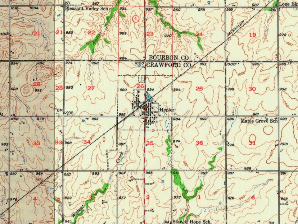
Founding dates: Wikidata, Wikipedia, the U.S. post office records of Blevins & Helbock (CC0) and the Census. Homes by year built: Census ACS 2020–24. National Register of Historic Places: National Park Service (list of May 22, 2026). Old photos, postcards and papers: Wikimedia Commons, the Library of Congress and other public archives, credited on each item’s page. Maps: U.S. Geological Survey historical topographic maps (via Esri) and Sanborn fire-insurance maps (Library of Congress). History text and census tables: Wikipedia (CC BY-SA 4.0). Places that used to be: USGS Geographic Names Information System (2021). How TownRatings grades history →
From Wikimedia Commons (2), Wikipedia, U.S. Geological Survey historical maps, U.S. Census counts (via Wikipedia), the US Post Offices dataset (Blevins & Helbock), the USGS Geographic Names Information System and old county and town histories (Internet Archive). Archive images are copied here with their credits and licenses, shown on each photo’s page. Refreshed monthly.


 2015
 2004