
Greene - Richland, 2013
Richland Township’s story
Richland Township in pictures
Census counts: 2,859 in 1890, 4,675 in 2020. The archive holds 2 old photos and papers going back to 2013 and 3 maps from 1908 on.
Explore the history →Each edition grades its towns against each other only.
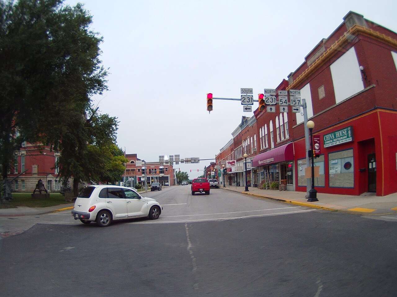
A town of 4,714. 74% more nonprofits per person than the typical Indiana town.
Richland Township gives you more for your money than most places: homes are within reach, about $151K for a typical one, or 2.4 years of the county’s $62K median household income. It grades C+ overall, ranked 460th of 585 in Indiana. The low prices come with trade-offs. The median household income is $68K, and 13% of residents live below the poverty line. Richland Township's civic life (library use, community groups, volunteering) is stronger than in 97% of U.S. towns. Richland Township’s average trip to work is 30 minutes, above both the Indiana town median (24 minutes) and the median of U.S. towns (25 minutes).
Where Richland Township beats most towns.
Where Richland Township’s working residents go each day. Line width shows the share.
Census LEHD 2023
Each subject compared with towns across the country (schools within Indiana), ordered by how far Richland Township is from typical.
How TownRatings grades towns →
Census counts: 2,859 in 1890, 4,675 in 2020. The archive holds 2 old photos and papers going back to 2013 and 3 maps from 1908 on.
Explore the history →Who provides power, water and the rest in Richland Township, and how to reach them.
EPA SDWIS (Oct 9, 2026) · HIFLD + EIA-861 2025 · Census 2020 ZCTAs · NCES 2024–25 · registration: vote.gov, updated Nov 18, 2024.
Ordered by what stands out in Richland Township.
The median commute is under 22 miles. The share of working residents in Richland Township who work locally: 16%. The top destinations are Bloomfield (13%), Bloomington (10%) and Indianapolis (10%).
| Richland Township | Indiana towns | U.S. towns | |
|---|---|---|---|
| Working residents who work in town | 16% | 11% | 8% |
| Median household income | $68,000 | $71,000 | $80,000 |
| Work from home | 8.9% | 7.8% | 11% |
Census LEHD 2023 · ACS
Below: Two of its 3 schools, each with why it was picked. Its public schools are run by the Bloomfield School District.
| School | Level | Students | Letter |
|---|---|---|---|
| Bloomfield Elementary SchoolLargest public elementary schoolGrades PK–5 | Grades PK–5 | 416 | C |
| Bloomfield High SchoolLargest public high schoolGrades 9–12 | Grades 9–12 | 208 | B |
NCES · EDFacts · graded within IN on state tests and graduation
For adults in Richland Township, the share who have obesity is 40%. Among adults locally, 40% have high blood pressure and 18% binge drink.
| Richland Township | Indiana towns | U.S. towns | |
|---|---|---|---|
| Smoke cigarettes (CDC PLACES) | 18% | 17% | 14% |
| High blood pressure (CDC PLACES) | 40% | 39% | 35% |
| Binge drink (CDC PLACES) | 18% | 16% | 16% |
| Sleep under 7 hours (CDC PLACES) | 34% | 37% | 36% |
| What stands out | Richland Township | IN |
|---|---|---|
| More adults with COPD | 9.6% | 8.1% |
| More smokers | 18.3% | 15.7% |
| More adults with heart disease | 7.9% | 6.8% |
CDC PLACES 2025 · modeled estimates for adults · CMS · HRSA
Trails run 4.1 miles in 1 park or preserve. The concentration of trails in Richland Township is 0.1 miles per square mile. One park or preserve covers 3 acres locally.
| Richland Township | Indiana towns | U.S. towns | |
|---|---|---|---|
| Conserved land | 0.4% | 1.9% | 4.3% |
| Miles of trail per square mile | 0.1 miles per square mile | 0.2 | 0.4 |
| Biggest places to walk | Trails | Acres |
|---|---|---|
| 1. Bloomfield Park | — | 3 |
Trails & parks © OpenStreetMap contributors · Conserved land: USGS PAD-US
Summer afternoons peak near 86° in July, and January nights bottom out around 21°; snowfall runs to about 9 inches a winter. Expect chilly winters and warm summers in Richland Township, with plenty of rain.
NOAA U.S. Climate Normals, 1991–2020
Expected damage from storms and floods is lower here than in 58% of U.S. communities. Of the losses FEMA expects in Richland Township, 49% come from inland flooding and 16% from tornadoes.
FEMA National Risk Index · OpenFEMA
None within 15 miles of Richland Township; the nearest are
About 5 of every 100 Richland Township residents are enrolled in college, about the same as Indiana.
Township in Indiana, United States
Richland Township is one of fifteen townships in Greene County, Indiana, USA. As of the 2020 census, its population was 4,675, down from 5,019 at 2010.
From Wikipedia, licensed CC BY-SA 4.0 · facts via Wikidata (CC0)
5 towns share a border with Richland Township.
| Town | IN rank | Overall | Cost | Safety | Schools | Health |
|---|---|---|---|---|---|---|
| Richland Township | #460 | C+ | A | — | C+ | C |
| Fairplay Township | — | — | — | — | — | — |
| Highland Township | — | — | — | — | — | — |
| Taylor Township | — | — | A | — | C+ | C |
| Center Township | #491 | C | B+ | — | C+ | C |
| Jefferson Township | — | — | A+ | — | B− | C− |
Taylor Township and Jefferson Township have fewer than 2,500 residents, so they get subject grades but no overall grade. Richland Township, Taylor Township, Center Township and Jefferson Township report no FBI crime data of their own. Fairplay Township and Highland Township aren’t graded (fewer than 1,000 residents, or not enough data). Compare Richland Township with a neighbor →
Short answers, built from the data on this page.
Richland Township grades C+ overall, better than 37% of U.S. towns and #460 of 585 in Indiana. It grades C for health and C+ for schools. Jobs & income is its weak spot, with a C−.
Not for the area. Cost of living, which also weighs rents, property taxes and how many households pay 30% or more of their income for housing, grades A.