
Corn field in Indiana - May 2024 - Sarah Stierch, 2024
Ray Township’s story
Ray Township in pictures
The archive holds 1 old photo or paper going back to 2024 and 3 maps from 1957 on.
Explore the history →Each edition grades its towns against each other only.
A town of 1,627.
The best of Ray Township’s subject grades are an A+ for cost of living and an A− for history; the weakest is a C− for health. Ray Township’s average trip to work is 34 minutes, where Indiana’s towns sit at 24 minutes and U.S. towns at 25 minutes. Only 3 of the 594 Indiana towns we compare have a lower share of adults with a bachelor’s degree than Ray Township. The biggest place to walk is Burkhart Creek County Park, 84 acres with 3.3 miles of trail. Ray Township has fewer than 2,500 residents, so it gets subject grades but no overall grade.
Where Ray Township beats most towns.
Where Ray Township’s working residents go each day. Line width shows the share.
Census LEHD 2023
Each subject compared with towns across the country (schools within Indiana), ordered by how far Ray Township is from typical.
How TownRatings grades towns →
The archive holds 1 old photo or paper going back to 2024 and 3 maps from 1957 on.
Explore the history →Who provides power, water and the rest in Ray Township, and how to reach them.
EPA SDWIS (Oct 9, 2026) · HIFLD + EIA-861 2025 · Census 2020 ZCTAs · NCES 2024–25 · registration: vote.gov, updated Nov 18, 2024.
Ordered by what stands out in Ray Township.
The share of adults in Ray Township who sleep under 7 hours is 35%, against 37% in Indiana’s towns and 36% across U.S. towns. 19% of adults smoke cigarettes here. Two figures for adults locally: 16% report frequent physical distress, 14% have diabetes.
| Ray Township | Indiana towns | U.S. towns | |
|---|---|---|---|
| Smoke cigarettes (CDC PLACES) | 19% | 17% | 14% |
| Frequent physical distress (CDC PLACES) | 16% | 15% | 14% |
| Diabetes (CDC PLACES) | 14% | 13% | 12% |
| High blood pressure (CDC PLACES) | 40% | 39% | 35% |
| What stands out | Ray Township | IN |
|---|---|---|
| More adults with COPD | 9.9% | 8.1% |
| More smokers | 18.8% | 15.7% |
| More adults in frequent physical distress | 15.7% | 13.8% |
CDC PLACES 2025 · modeled estimates for adults · CMS · HRSA
Its one school is below. The public schools here belong to the MSD Martinsville Schools. Ray Township’s only public school teaches 196 students.
| School | Level | Students | Letter |
|---|---|---|---|
| Paragon Elementary SchoolLargest public elementary schoolGrades PK–4 | Grades PK–4 | 196 | B− |
NCES · EDFacts · graded within IN on state tests and graduation
The median commute is under 30 miles. Ray Township: 2.5% of working residents work locally. The top destinations are Indianapolis (32%), Martinsville (12%) and Plainfield (4%). Its typical household income is $87,000.
| Ray Township | Indiana towns | U.S. towns | |
|---|---|---|---|
| Working residents who work in town | 2.5% | 11% | 8% |
| Below the poverty line | 13% | 10% | 9.6% |
| Median household income | $87,000 | $71,000 | $80,000 |
Census LEHD 2023 · ACS
The range runs from 21° on a January night to 85° on a July afternoon, with about 17 inches of snow a winter.
NOAA U.S. Climate Normals, 1991–2020
There are 6.5 miles of trail across 1 park or preserve. Ray Township’s trail density is 0.3 miles per square mile.
| Ray Township | Indiana towns | U.S. towns | |
|---|---|---|---|
| Conserved land | 7.5% | 1.9% | 4.3% |
| Miles of trail per square mile | 0.3 miles per square mile | 0.2 | 0.4 |
| Biggest places to walk | Trails | Acres |
|---|---|---|
| 1. Burkhart Creek County Park | 3.3 mi | 84 |
Trails & parks © OpenStreetMap contributors · Conserved land: USGS PAD-US
Paid flood insurance claims in Ray Township since 2008: one. Expected storm and flood damage is lower than in 52% of U.S. communities. 61% of the town’s expected losses from natural hazards come from inland flooding, followed by tornadoes at 13%.
FEMA flood insurance claims · FEMA National Risk Index · OpenFEMA
Museums, parks, gardens and other places to visit around Ray Township. Close and well known come first.
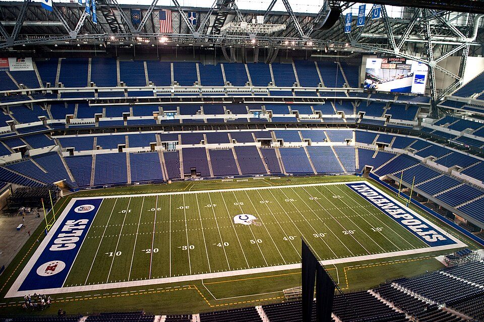 Big draw34 mi Stadium & arenaLucas Oil Stadium
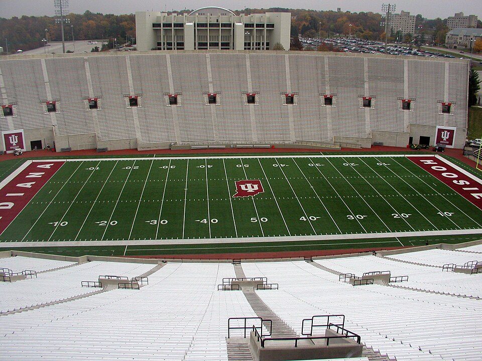 16 mi Stadium & arenaMemorial Stadium
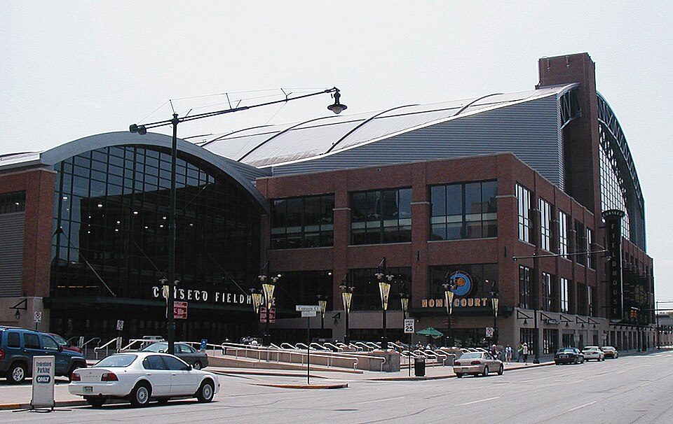 34 mi Stadium & arenaGainbridge Fieldhouse
 34 mi LandmarkSoldiers' and Sailors' Monument
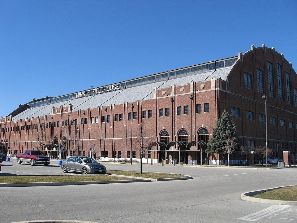 38 mi Stadium & arenaHinkle Fieldhouse
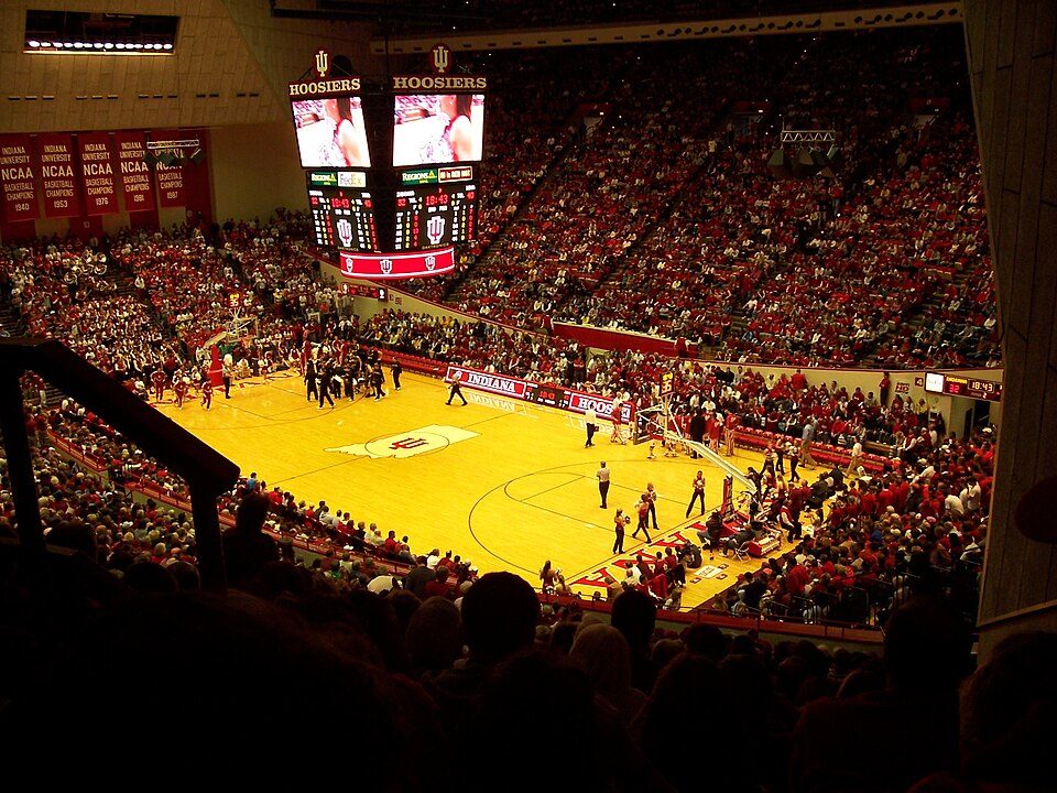 16 mi Stadium & arenaSimon Skjodt Assembly Hall
Lucas Oil Stadium: Josh Hallett from Winter Haven, FL, USA, CC BY-SA 2.0 · Memorial Stadium: Durin at English Wikipedia, CC BY-SA 3.0 · Gainbridge Fieldhouse: Durin at English Wikipedia, CC BY-SA 3.0 · Soldiers' and Sailors' Monument: alexeatswhales, CC BY 2.0 · Hinkle Fieldhouse: Peetlesnumber1, CC BY-SA 3.0 · Simon Skjodt Assembly Hall: Sean Benham from Chicago, CC BY 2.0
None within 15 miles of Ray Township; the nearest are
About 0 of every 100 Ray Township residents are enrolled in college, against 6 across Indiana.
Township in Indiana, United States
Ray Township is one of fourteen townships in Morgan County, Indiana, United States. As of the 2010 census, its population was 1,631 and it contained 648 housing units.
From Wikipedia, licensed CC BY-SA 4.0 · facts via Wikidata (CC0)
5 towns share a border with Ray Township.
| Town | IN rank | Overall | Cost | Safety | Schools | Health |
|---|---|---|---|---|---|---|
| Ray Township | — | — | A+ | — | C+ | C− |
| Baker Township | — | — | — | — | — | — |
| Jefferson Township | #411 | C+ | A | — | C+ | C |
| Harrison Township | — | — | — | — | — | — |
| Ashland Township | — | — | A | — | C+ | C |
| Wayne Township | — | — | A− | — | B | C− |
Ray Township, Ashland Township and Wayne Township have fewer than 2,500 residents, so they get subject grades but no overall grade. Ray Township, Jefferson Township, Ashland Township and Wayne Township report no FBI crime data of their own. Baker Township and Harrison Township aren’t graded (fewer than 1,000 residents, or not enough data). Compare Ray Township with a neighbor →
Short answers, built from the data on this page.
Not for the area. Cost of living, which also weighs rents, property taxes and how many households pay 30% or more of their income for housing, grades A+.


