
Wheeler, Frank, Hotel · National Register of Historic Places
Pershing Township’s story
Pershing Township in pictures
The archive holds 1 old photo or paper.
1 place on the National Register of Historic Places.
Explore the history →Each edition grades its towns against each other only.
A town of 1,362.
Pershing Township’s best subject grade is an A for cost of living; its weakest is a D− for walkability. Only 11 of Indiana’s 1,097 towns score lower on walkability. 25% of the land in Pershing Township is conserved, where Indiana’s towns sit at 1.9% and U.S. towns at 4.3%. The biggest park or preserve is Hoosier National Forest, at 4,864 acres. Pershing Township has fewer than 2,500 residents, so it gets subject grades but no overall grade.
In a town this size, neighbors are the best guide. Ask them anything.
Each subject compared with towns across the country (schools within Indiana), ordered by how far Pershing Township is from typical.
How TownRatings grades towns →
The archive holds 1 old photo or paper.
1 place on the National Register of Historic Places.
Explore the history →Who provides power, water and the rest in Pershing Township, and how to reach them.
EPA SDWIS (Oct 9, 2026) · HIFLD + EIA-861 2025 · Census 2020 ZCTAs · NCES 2024–25 · registration: vote.gov, updated Nov 18, 2024.
Ordered by what stands out in Pershing Township.
0.2% of working residents work locally in Pershing Township, below both Indiana’s towns (11%) and U.S. towns (8%). Pershing Township’s average trip to work is 29 minutes. The top destinations are Seymour (24%), Columbus (18%) and Indianapolis (9%).
| Pershing Township | Indiana towns | U.S. towns | |
|---|---|---|---|
| Working residents who work in town | 0.2% | 11% | 8% |
| Average trip to work | 29 minutes | 24 minutes | 25 minutes |
Census LEHD 2023 · ACS
0.7 miles of trail in 2 parks and preserves.
| Biggest places to walk | Trails | Acres |
|---|---|---|
| 1. Hoosier National Forest | 0.4 mi | 4,864 |
| 2. Freetown Park | — | 3 |
Trails & parks © OpenStreetMap contributors · Conserved land: USGS PAD-US
Pershing Township has chilly winters and warm summers, with plenty of rain. July afternoons reach 85°, January nights drop to 22° and about 8 inches of snow falls in a winter.
NOAA U.S. Climate Normals, 1991–2020
Pershing Township beats the Indiana average on 1 of 32 CDC measures and trails it on 1. 17% of adults smoke cigarettes in Pershing Township.
| Pershing Township | Indiana towns | U.S. towns | |
|---|---|---|---|
| Smoke cigarettes (CDC PLACES) | 17% | 17% | 14% |
| Depression (CDC PLACES) | 26% | 26% | 23% |
| Feel lonely (CDC PLACES) | 32% | 32% | 33% |
| Obesity (CDC PLACES) | 39% | 39% | 35% |
| What stands out | Pershing Township | IN |
|---|---|---|
| Fewer adults facing a utility shut-off | 7.3% | 8.4% |
| More adults who have had cancer | 9.3% | 8.3% |
CDC PLACES 2025 · modeled estimates for adults · CMS · HRSA
Expected storm and flood damage is higher than in 57% of U.S. communities. Since 2008, 12 flood insurance claims have been paid out in Pershing Township.
FEMA flood insurance claims · FEMA National Risk Index · OpenFEMA
Museums, parks, gardens and other places to visit around Pershing Township. Close and well known come first.
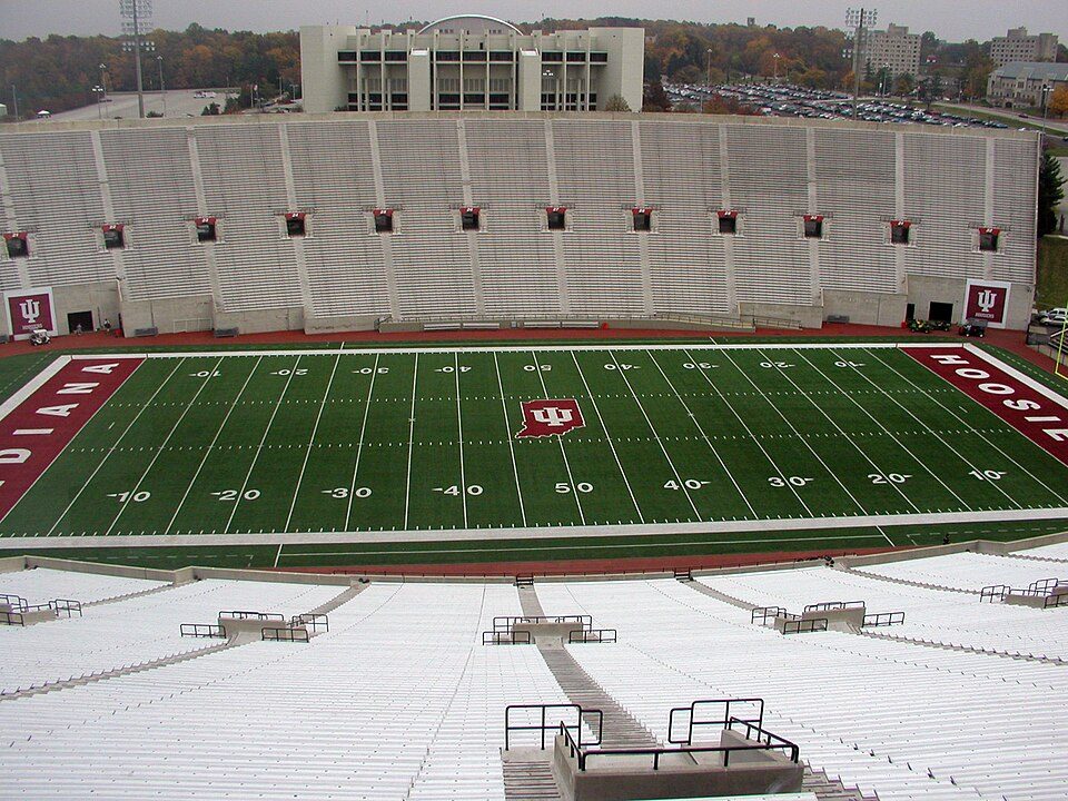 25 mi Stadium & arenaMemorial Stadium
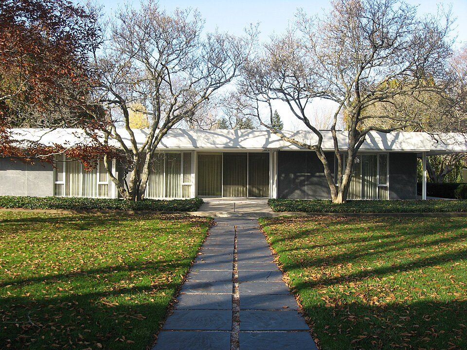 18 mi MuseumMiller House and Garden
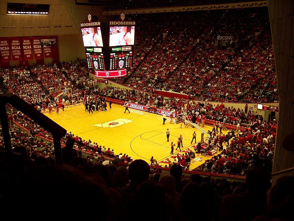 25 mi Stadium & arenaSimon Skjodt Assembly Hall
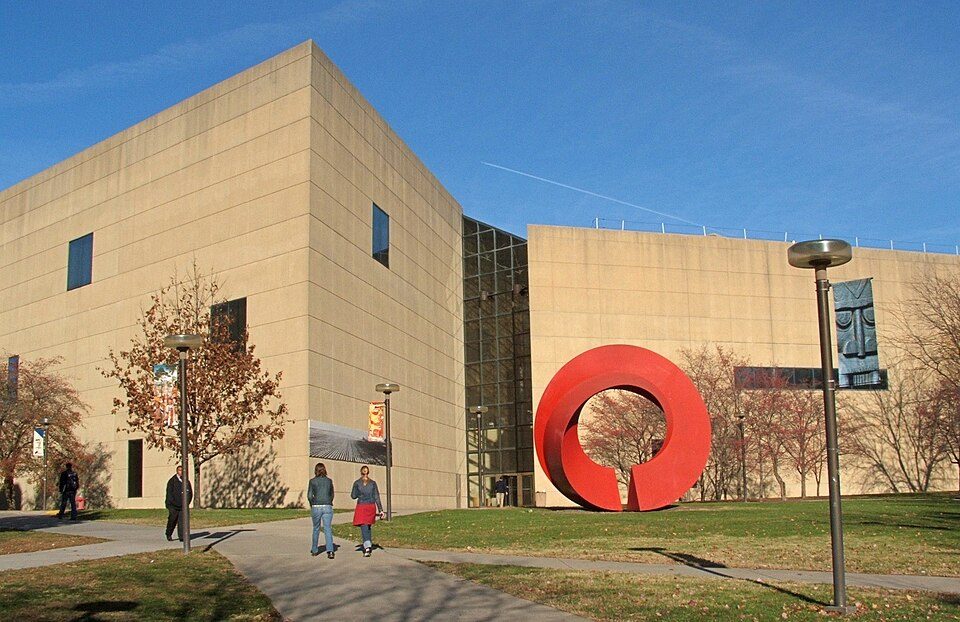 24 mi MuseumEskenazi Museum of Art16 mi MuseumZaharakos16 mi GardenMill Race Park
Memorial Stadium: Durin at English Wikipedia, CC BY-SA 3.0 · Miller House and Garden: Nyttend, Public domain · Simon Skjodt Assembly Hall: Sean Benham from Chicago, CC BY 2.0 · Eskenazi Museum of Art: Kzollman (Kevin J.S. Zollman)., CC BY-SA 3.0
None within 15 miles of Pershing Township; the nearest are
About 5 of every 100 Pershing Township residents are enrolled in college, about the same as Indiana.
Where Pershing Township’s working residents go each day. Line width shows the share.
Census LEHD 2023
Township in Indiana, United States
Pershing Township is one of twelve townships in Jackson County, Indiana, United States. As of the 2020 census, its population was 1,354 and it contained 600 housing units.
From Wikipedia, licensed CC BY-SA 4.0 · facts via Wikidata (CC0)
Short answers, built from the data on this page.
Not for the area. Cost of living, which also weighs rents, property taxes and how many households pay 30% or more of their income for housing, grades A.


