Peaked at 993 in 1910; 625 people lived here in 2020.
13 censuses, 1880–2020.
U.S. Census Bureau decennial counts, from the census table on Lyons’ Wikipedia page.
Every building
Lyons, building by building, 1900–1921
Fire insurance maps drew every building, what it was made of and what it was used for, so insurers could price the risk of fire. Pick a year, then a sheet.
1900Sheet 1 of 1
Edition
Sheets
BrickWoodStone
Sanborn Map Company, via the Library of Congress. Editions published in 1930 or earlier, which are in the public domain.
Lyons was named in honor of Squire Joe Lyons, a county official, and platted in 1869. The Lyons post office opened in 1870.
As settlers moved into the town in the 1870s, they began to establish places of worship. The first church in the area was the Hicks Cumberland Presbyterian Church.
Passages that mention Lyons, cut from the printed page as they were published.
Gazetteer and directory of Clinton county, Iowa, containing a history of the county, and of the cities of Clinton and Lyons ...1876Read the page →
Read the text
The reason to be assigned for the failure of these last projects, was the fact that many of the jx'ople of Lyons had not awakened to the benefits to be conferred by the location of llie laidge and railroad at this point, and persistently refused to donate the right of way through the city, or sell the ground at reasonable prices ; in fact, they drove these enterprises from their city, and the bridge and railroad were located at Clinton, whicli,was then but a little iiisignillcant village compared with Lyons.
Text read by machine from the scan; it may contain errors.
Gazetteer and directory of Clinton county, Iowa, containing a history of the county, and of the cities of Clinton and Lyons ...1876Read the page →
Read the text
Elijah Buell settled at Lyons in the fall of 1836, and was the first white man to settle in this part of the country. Mr. Buell afterwards purchasedr in company with other gentlemen, the land which is now the site of the present city of Lyons.
Text read by machine from the scan; it may contain errors.
Rose neightborhood sketches, Wayne County, New York1893 · page 322Read the page →
Read the text
Of the events incident to the towns of Palmyra and the old area of Lyons, it would be interesting to speak, for in Palmyra, Mormonism had its origin, and in Arcadia, set off from Lyons, the famous Fox sisters set the world to thinking about the phenomena of Spiritualism ; but it will be better for us to confine ourselves to a " pent-up Utica," and to tell of those narrower bounds that inclose what to the majority present is our native town.
Text read by machine from the scan; it may contain errors.
Rose neightborhood sketches, Wayne County, New York1893 · page 124Read the page →
Read the text
made its Huron station at Port Glasgow, and that place must have regained some of its prosperity destroyed by the building of the Erie canal. Lake navigation and railroad transportation would have made her a no mean rival of Clyde and Lyons, and leaving Wolcott quite in the lurch. Again, had Rose bonded and Huron not, the station could easily have been located as near the Valley as the end of the old Sherman or Merrick Hill, i. e., the present residence of Mr. Isaac Campbell. The Valley would have had the business since located in North Eose and the latter village would not exist.
Text read by machine from the scan; it may contain errors.
Scans and text from the Internet Archive. Books published in 1930 or earlier, which are in the public domain.
Timeline
Lyons, 1870 to 1943
Woven from the archive, old maps, post office records, the National Register and the people born here.
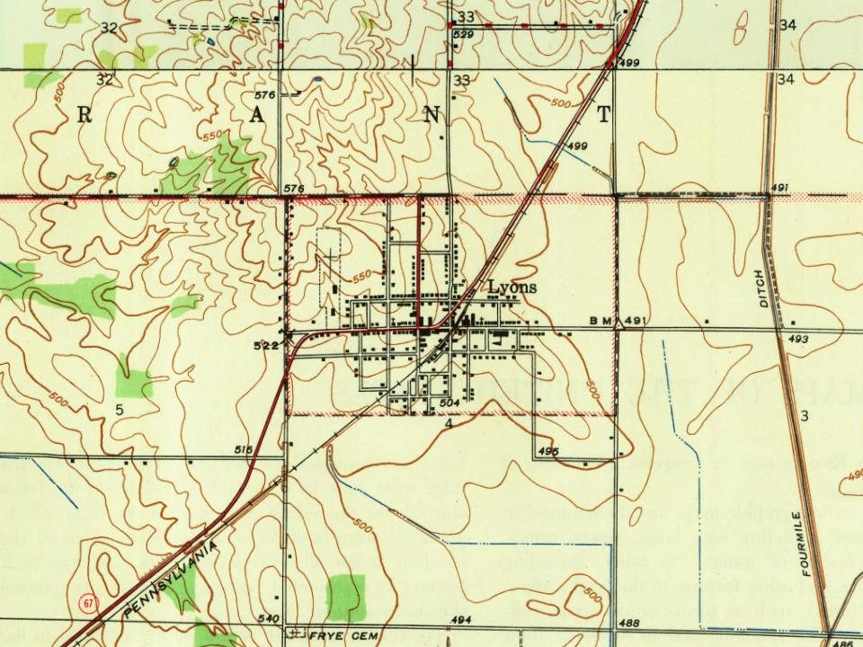
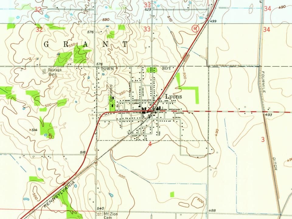
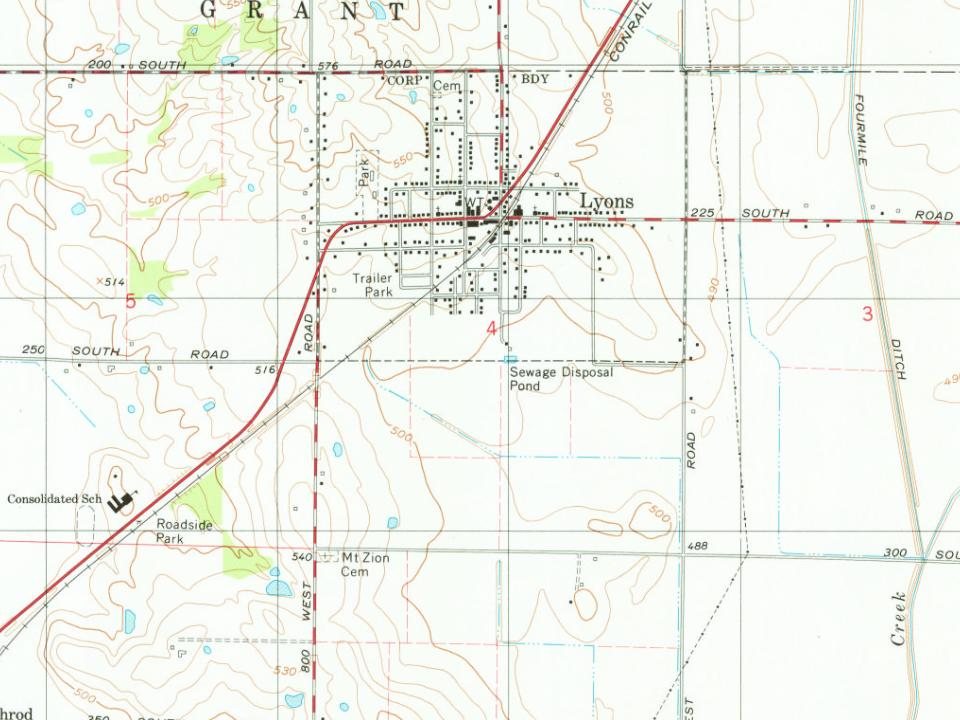
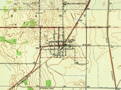
Founding dates: Wikidata, Wikipedia, the U.S. post office records of Blevins & Helbock (CC0) and the Census. Homes by year built: Census ACS 2020–24. National Register of Historic Places: National Park Service (list of May 22, 2026). Old photos, postcards and papers: Wikimedia Commons, the Library of Congress and other public archives, credited on each item’s page. Maps: U.S. Geological Survey historical topographic maps (via Esri) and Sanborn fire-insurance maps (Library of Congress). History text and census tables: Wikipedia (CC BY-SA 4.0). Places that used to be: USGS Geographic Names Information System (2021). How TownRatings grades history →
From Wikimedia Commons (4), Wikipedia, Wikidata and Wikipedia for famous people, U.S. Geological Survey historical maps, U.S. Census counts (via Wikipedia), the US Post Offices dataset (Blevins & Helbock), the USGS Geographic Names Information System, Sanborn fire insurance maps (Library of Congress) and old county and town histories (Internet Archive). Archive images are copied here with their credits and licenses, shown on each photo’s page. Refreshed monthly.
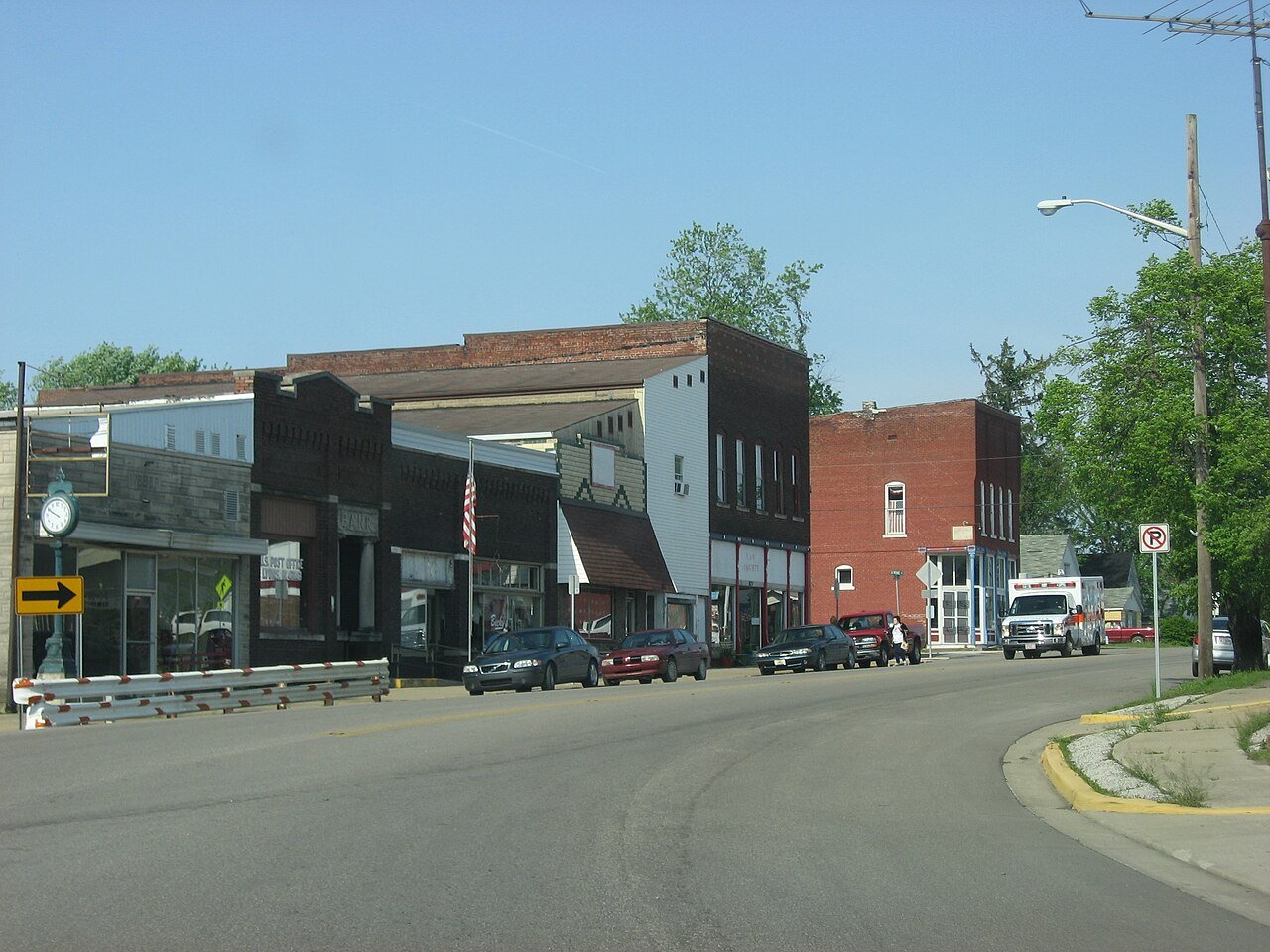


 2016
 2016
 2016
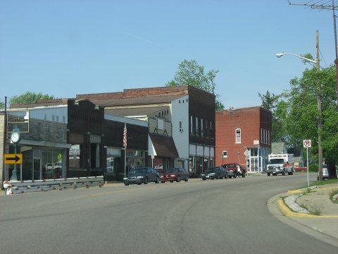 2011