Dublin was laid out and platted in 1830. It is named after the city of Dublin in Ireland. A post office has been in operation at Dublin since 1833. On October 15, 1851, the Indiana Woman's Suffrage Association was created in Dublin. The Witt-Champe-Myers House was added to the National Register of Historic Places in 1995.
And it is agreed that the remainder of money due to the several School Districts, September 8, 1870, shall be paid by the Treasurer of the town of Dublin, the amount due being eleven hundred and fifty -four dollars, and the dog tax divided to said districts, agreeably to the appropriation and division of school money by the town and Selectmen of Dublin for the year 1870, and that the town of Harrisville shall pay to the town of Dublin, the sum of two hundred and twenty-two dollars and ninety-one cents ($222.91).
Text read by machine from the scan; it may contain errors.
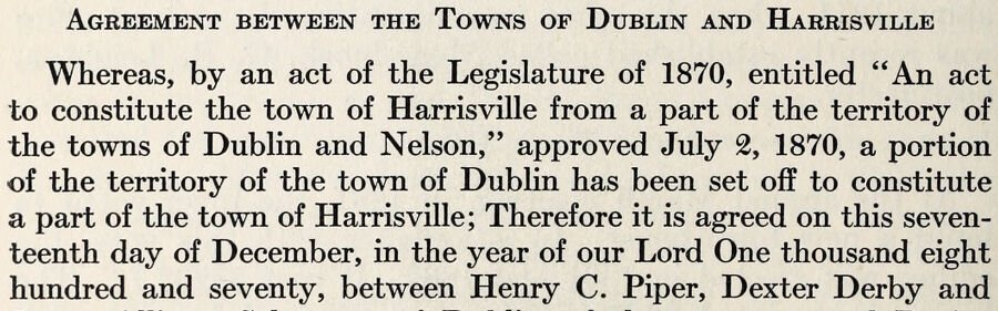
Agreement between the Towns of Dublin and Harrisville Whereas, by an act of the Legislature of 1870, entitled "An act to constitute the town of Harrisville from a part of the territory of the towns of Dublin and Nelson," approved July 2, 1870, a portion of the territory of the town of Dublin has been set off to constitute a part of the town of Harrisville; Therefore it is agreed on this seventeenth day of December, in the year of our Lord One thousand eight hundred and seventy, between Henry C. Piper, Dexter Derby and
Text read by machine from the scan; it may contain errors.
Scans and text from the Internet Archive. Books published in 1930 or earlier, which are in the public domain.
Timeline
Dublin, 1830 to 1960
Woven from the archive, old maps, post office records, the National Register and the people born here.
Every edition of the U.S. Geological Survey’s map of Dublin. Tap a year, or press play to watch the town change.
1960Cambridge City sheet · 1:24,000
U.S. Geological Survey historical topographic maps (public domain), via Esri’s collection of the scans. The red ring marks the center of Dublin.
Every building
Dublin, building by building, 1886–1898
Fire insurance maps drew every building, what it was made of and what it was used for, so insurers could price the risk of fire. Pick a year, then a sheet.
1886Sheet 1 of 1
Edition
Sheets
BrickWoodStone
Sanborn Map Company, via the Library of Congress. Editions published in 1930 or earlier, which are in the public domain.
On the National Register
2 historic places in Dublin
The country’s official list of buildings and places worth saving.
Founding dates: Wikidata, Wikipedia, the U.S. post office records of Blevins & Helbock (CC0) and the Census. Homes by year built: Census ACS 2020–24. National Register of Historic Places: National Park Service (list of May 22, 2026). Old photos, postcards and papers: Wikimedia Commons, the Library of Congress and other public archives, credited on each item’s page. Maps: U.S. Geological Survey historical topographic maps (via Esri) and Sanborn fire-insurance maps (Library of Congress). History text and census tables: Wikipedia (CC BY-SA 4.0). Places that used to be: USGS Geographic Names Information System (2021). How TownRatings grades history →
From Wikimedia Commons (2), the National Register of Historic Places (2), Wikipedia, Wikidata and Wikipedia for famous people, U.S. Geological Survey historical maps, U.S. Census counts (via Wikipedia), the US Post Offices dataset (Blevins & Helbock), the USGS Geographic Names Information System, Sanborn fire insurance maps (Library of Congress) and old county and town histories (Internet Archive). Archive images are copied here with their credits and licenses, shown on each photo’s page. Refreshed monthly.



 2018
 2016


