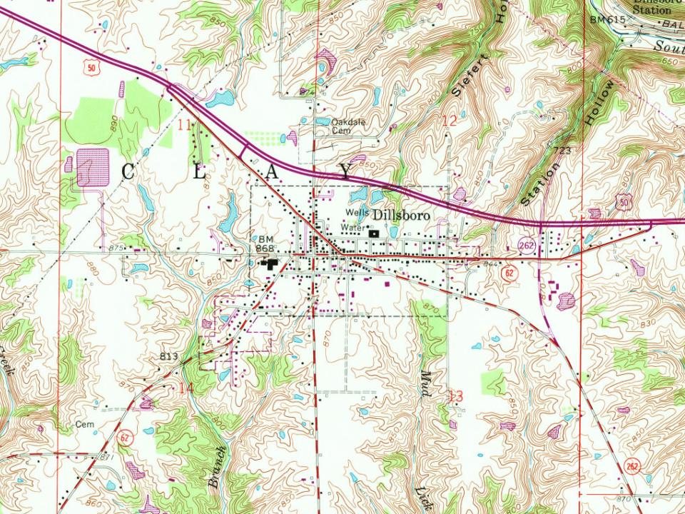
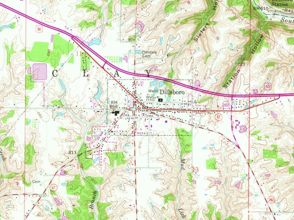
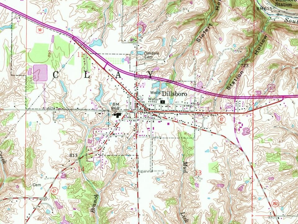
On its age, its old homes and the National Register, Dillsboro is more historic than 64% of U.S. towns. Its share of homes from before 1940 holds the grade up; its National Register listings pull it down.
B
HistoryA character grade: shown, never part of Dillsboro’s overall grade.
Indiana towns list more on the Register than most of the country (a typical Indiana town has 7.9 per 10,000 residents, the U.S. 2.4), so Dillsboro’s 0.0 sits below most of its state (22% of Indiana towns have fewer) while its 0 listings outnumber those of 23% of U.S. towns.
How sure. Graded on any two of the three inputs instead, the letter would range from C+ to A−. The pre-1940 share is a Census survey estimate (±6.7 points). Two sources give 1830.
Founding year: Wikipedia (other dates in Quick answers). Homes: Census ACS 2020–24. National Register: National Park Service, May 2026 list; each listing counted once (boundary changes and added documentation belong to their listing), and a historic district counts its contributing buildings. How TownRatings grades history →
What stands out about Dillsboro’s past
Read from the archive, the National Register and the record. The page puts what stands out first.
Passages that mention Dillsboro, cut from the printed page as they were published.
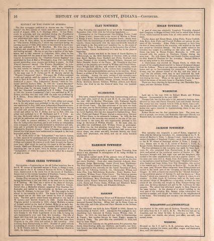
History of Dearborn County Indiana1915 · page 69Read the page →
Read the text
times a blue till at the base. This soil bears a marsh vegetation, sweet gum, beech, etc. It is a good grass soil, here as elsewhere, and fairly good for wheat when fertilized. It invariably requires tiling and careful rotation of crops to yield profitable results. The town of Dillsboro. in Dearborn county, is on the line separating the Miami clay from the limestone upland. It is a matter of common remark that east of Dillsboro corn is better than west, while the soils on the west produce better wheat and grass.
Text read by machine from the scan; it may contain errors.
History of Dearborn County Indiana1915 · page 865Read the page →
Read the text
children, his birth occurring on July 18, 1865. He received his education in the schools of Dillsboro, and during vacations and all spare time, assisted his father in the work of the farm home. For a while he was railroad black¬ smith at Dillsboro, and later gave up that occupation for the life of a farmer, operating the farm of one hundred acres located near Dillsboro, belonging to his wife. Mr. Bennett’s death occurred on January 18, 1915, when fifty years of age. He was a man held in high esteem by all who knew him, public spirited and deeply concerned in all that related to the best interests of his
Text read by machine from the scan; it may contain errors.
Scans and text from the Internet Archive. Books published in 1930 or earlier, which are in the public domain.
By decade
Dillsboro, decade by decade
One decade in the archive so far: the 1870s. Scroll each row; tap a photo for its story.
In 1830, according to Wikipedia’s history of the town. Dillsboro’s post office opened in 1837, and the census of 1880 counted 432 people here.
How does Dillsboro rank for history?
Dillsboro is more historic than 64% of U.S. towns. The History grade combines the town’s founding era, the share of homes built before 1940 and its National Register listings. It’s a character grade, so it isn’t part of the overall grade. How it works.
How old are the homes in Dillsboro?
23% of Dillsboro’s homes were built before 1940 (Census estimate, ±6.7 points), against a typical 14% for an Indiana town; the median home was built in 1965.
Founding dates: Wikidata, Wikipedia, the U.S. post office records of Blevins & Helbock (CC0) and the Census. Homes by year built: Census ACS 2020–24. National Register of Historic Places: National Park Service (list of May 22, 2026). Old photos, postcards and papers: Wikimedia Commons, the Library of Congress and other public archives, credited on each item’s page. Maps: U.S. Geological Survey historical topographic maps (via Esri) and Sanborn fire-insurance maps (Library of Congress). History text and census tables: Wikipedia (CC BY-SA 4.0). Places that used to be: USGS Geographic Names Information System (2021).
From Wikimedia Commons (4), Wikidata (2), Wikipedia, Wikidata and Wikipedia for famous people, U.S. Geological Survey historical maps, U.S. Census counts (via Wikipedia), the US Post Offices dataset (Blevins & Helbock), the USGS Geographic Names Information System and old county and town histories (Internet Archive). Archive images are copied here with their credits and licenses, shown on each photo’s page. Refreshed monthly.
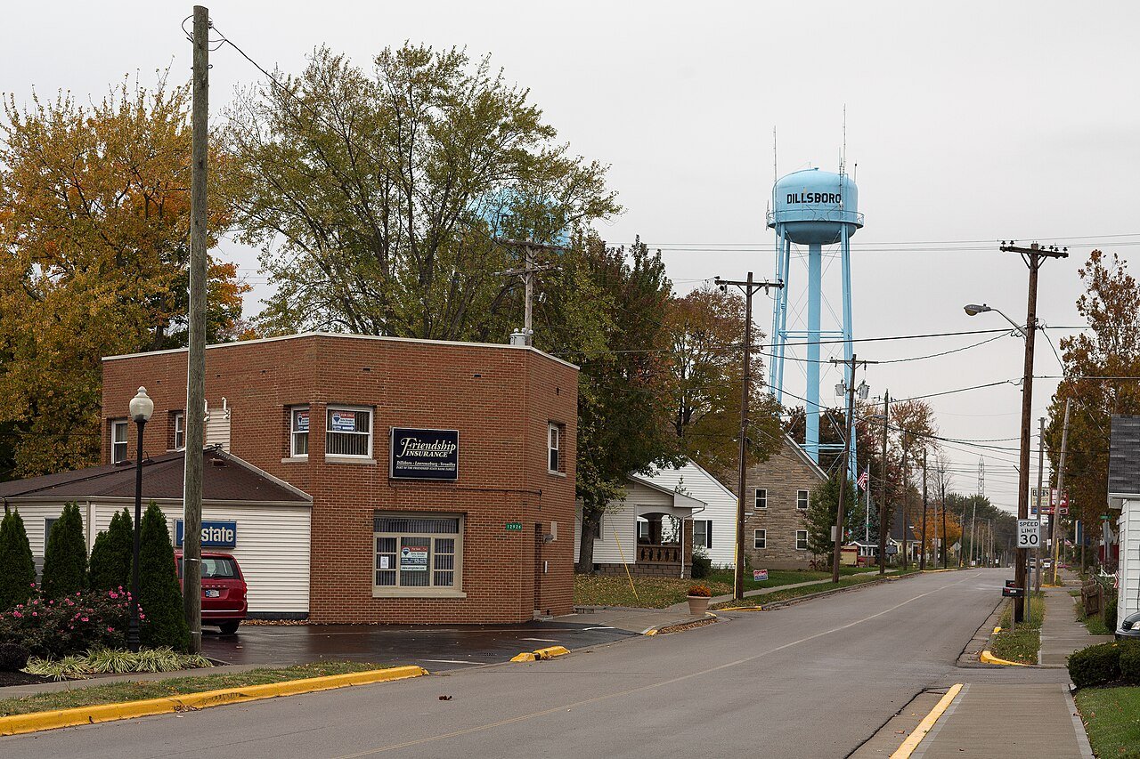



 1875
 2016
 2016