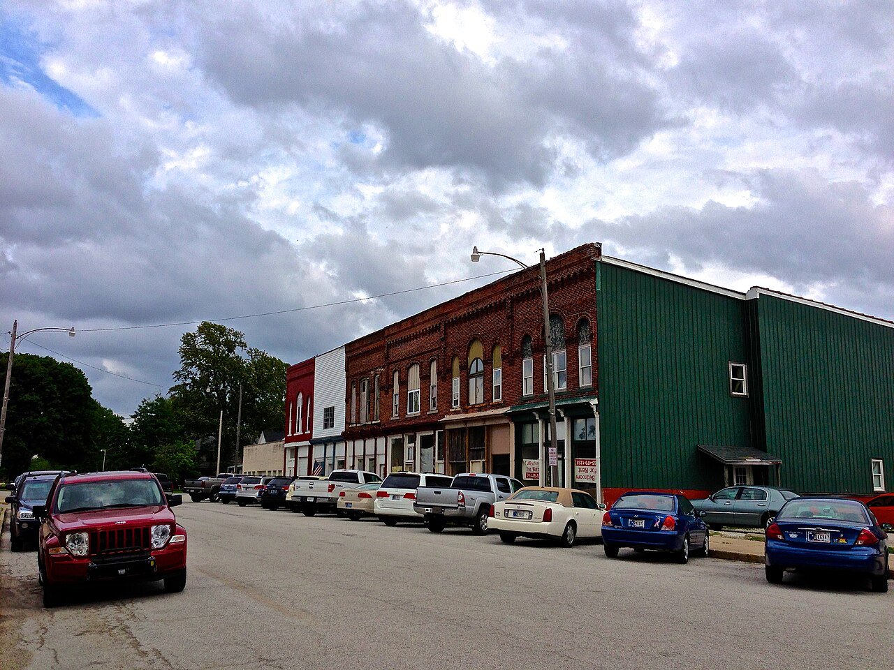
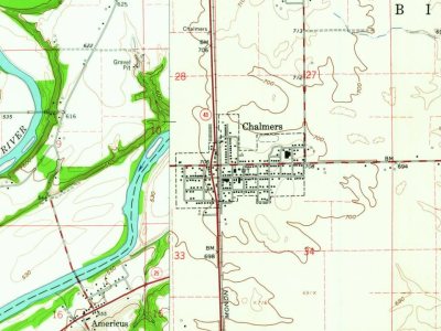
The Chalmers post office opened in 1860, the earliest record of the town by name. Another post office, Mudge Station (1854), opened inside today’s town and later closed.
First census: 462 in 19002020 census: 523166 years
Founding year: the first Chalmers post office (Blevins & Helbock, CC0).The full story ↓
What stands out about Chalmers’ past
Read from the archive, the National Register and the record. The page puts what stands out first.
Chalmers dates back to the early 1850s. Land was donated by Gardner Mudge to the Chicago, Indianapolis and Louisville Railway in 1854 after the company constructed a rail line through Big Creek in 1853. Mudge and his brother-in-law operated a general store. On April 21, 1854, a Post Office was established with Mudge serving as postmaster.
Passages that mention Chalmers, cut from the printed page as they were published.
A standard history of White County, Indiana1915Read the page →
Read the text
Additions to tub Town In January, 1887, the founder of the town platted its first addition, as Jacob and Sarah C. Raub 's addition to the Town of Chalmers, and in 1891 William W. Raub laid out his first addition ; his third in September, 1895, and his fourth in December of that year. In February, ' 1896, Jacob Raub and wife made their second addition to the townsite, and in March, 1897, Levi Reynolds, his brother-in-law, platted another addition, and several small tracts have been added since. .
Text read by machine from the scan; it may contain errors.
A standard history of White County, Indiana1915Read the page →
Read the text
The hamlet did.not seem to have the promise of a village until July 24, 1878, when Jacob Raub, who for over twenty years had been largely engaged in the* grain business and farming, both in Tippecanoe County and at Mudge's Station, platted the Town of Chalmers on a part of the old Ross farm, which he had purchased in 1872. The original town was in the northwest quarter of the northwest quarter of section 34, town 26 north, range 4 west. It consisted of 103 lots and the following streets : Main, 70 feet wide ; Earl, 66 feet ; First,
Text read by machine from the scan; it may contain errors.
Scans and text from the Internet Archive. Books published in 1930 or earlier, which are in the public domain.
Timeline
Chalmers, 1854 to 1962
Woven from the archive, old maps, post office records, the National Register and the people born here.
Founding dates: Wikidata, Wikipedia, the U.S. post office records of Blevins & Helbock (CC0) and the Census. Homes by year built: Census ACS 2020–24. National Register of Historic Places: National Park Service (list of May 22, 2026). Old photos, postcards and papers: Wikimedia Commons, the Library of Congress and other public archives, credited on each item’s page. Maps: U.S. Geological Survey historical topographic maps (via Esri) and Sanborn fire-insurance maps (Library of Congress). History text and census tables: Wikipedia (CC BY-SA 4.0). Places that used to be: USGS Geographic Names Information System (2021). How TownRatings grades history →
From Wikipedia, Wikidata and Wikipedia for famous people, U.S. Geological Survey historical maps, U.S. Census counts (via Wikipedia), the US Post Offices dataset (Blevins & Helbock), the USGS Geographic Names Information System and old county and town histories (Internet Archive). Archive images are copied here with their credits and licenses, shown on each photo’s page. Refreshed monthly.