3 places in town are on the National Register, among them two historic districts with 58 buildings between them. Below: maps from 1948 on and the census since 1960.
Founding year: the first Wayne post office (Blevins & Helbock, CC0). Wikidata: 1958.The full story ↓
History grade
What drives Wayne’s History grade
On its age, its old homes and the National Register, Wayne is more historic than 71% of U.S. towns. Its National Register listings hold the grade up; its age pulls it down.
B+
HistoryA character grade: shown, never part of Wayne’s overall grade.
Few Illinois towns list much on the Register (a typical Illinois town has 0.5 per 10,000 residents, the U.S. 2.4), so Wayne’s 230 sits above most of its state (97% of Illinois towns have fewer) while its 59 historic buildings outnumber those of 86% of U.S. towns.
How sure. Graded on any two of the three inputs instead, the letter would range from C+ to A−. The pre-1940 share is a Census survey estimate (±5.3 points). The founding year is the first post office, not a stated founding date; Wikidata gives 1958.
Founding year: the first post office (other dates in Quick answers). Homes: Census ACS 2020–24. National Register: National Park Service, May 2026 list; each listing counted once (boundary changes and added documentation belong to their listing), and a historic district counts its contributing buildings. How TownRatings grades history →
What stands out about Wayne’s past
Read from the archive, the National Register and the record. The page puts what stands out first.
Wayne was originally named Wayne Station and was named after Anthony Wayne. Wayne was incorporated in 1958. Previously, the community was administered as a private association called the "Wayne Community Association" with voluntary contributions funding village services including police.
Since World War II, Wayne has grown steadily, adding subdivisions near Illinois Route 59, off Munger Road, near Smith Road, near Dunham Castle at Army Trail Road, along Powis Road, and filling in throughout the Village. For work, residents are primarily commuters to Chicago via railroad stations in Geneva, Bartlett, or West Chicago or drive to Chicago or other suburbs particularly in Kane, DuPage, Lake, Cook, or McHenry County.
Passages that mention Wayne, cut from the printed page as they were published.
History of Wayne and Clay counties, Illinois1884 · page 164Read the page →
Read the text
Wayne County was represented by a strong lobby at Springfield, and the Springfield & Southeastern Railway Charter was passed, and as the county was under the control of fifteen Supervisors, and for fear that this body was too large to handle well in the matter of submitting propositions to the voters to aid railroads, a cunning scheme in the way
Text read by machine from the scan; it may contain errors.
History of Wayne and Clay counties, Illinois1884 · page 248Read the page →
Read the text
Keen Station is a small town situated on the Air Line three miles west of Wayne City, and consists of two general stores, and one grocery. It has a good school, and a substantial church building is being erected by the Missionary Baptists. A grist mill was put up there in 1881, and there are also two saw mills at this place.
Text read by machine from the scan; it may contain errors.
Scans and text from the Internet Archive. Books published in 1930 or earlier, which are in the public domain.
Timeline
Wayne, 1842 to 1948
Woven from the archive, old maps, post office records, the National Register and the people born here.
The Wayne post office opened in 1853, the earliest record of the town by name (U.S. post office records). Wikidata gives 1958.
How does Wayne rank for history?
Wayne is more historic than 71% of U.S. towns. The History grade combines the town’s founding era, the share of homes built before 1940 and its National Register listings. It’s a character grade, so it isn’t part of the overall grade. How it works.
What is on the National Register in Wayne?
Three places: the Wayne Village Historic District (listed 1978), the Oaklawn Farm (1979) and the Wayne Depot (2026).
How old are the homes in Wayne?
15% of Wayne’s homes were built before 1940 (Census estimate, ±5.3 points), against a typical 11% for an Illinois town; the median home was built in 1987.
Founding dates: Wikidata, Wikipedia, the U.S. post office records of Blevins & Helbock (CC0) and the Census. Homes by year built: Census ACS 2020–24. National Register of Historic Places: National Park Service (list of May 22, 2026). Old photos, postcards and papers: Wikimedia Commons, the Library of Congress and other public archives, credited on each item’s page. Maps: U.S. Geological Survey historical topographic maps (via Esri) and Sanborn fire-insurance maps (Library of Congress). History text and census tables: Wikipedia (CC BY-SA 4.0). Places that used to be: USGS Geographic Names Information System (2021).
From Wikimedia Commons (6), the National Register of Historic Places (3), Wikipedia, Wikidata and Wikipedia for famous people, U.S. Geological Survey historical maps, U.S. Census counts (via Wikipedia), the US Post Offices dataset (Blevins & Helbock), the USGS Geographic Names Information System and old county and town histories (Internet Archive). Archive images are copied here with their credits and licenses, shown on each photo’s page. Refreshed monthly.
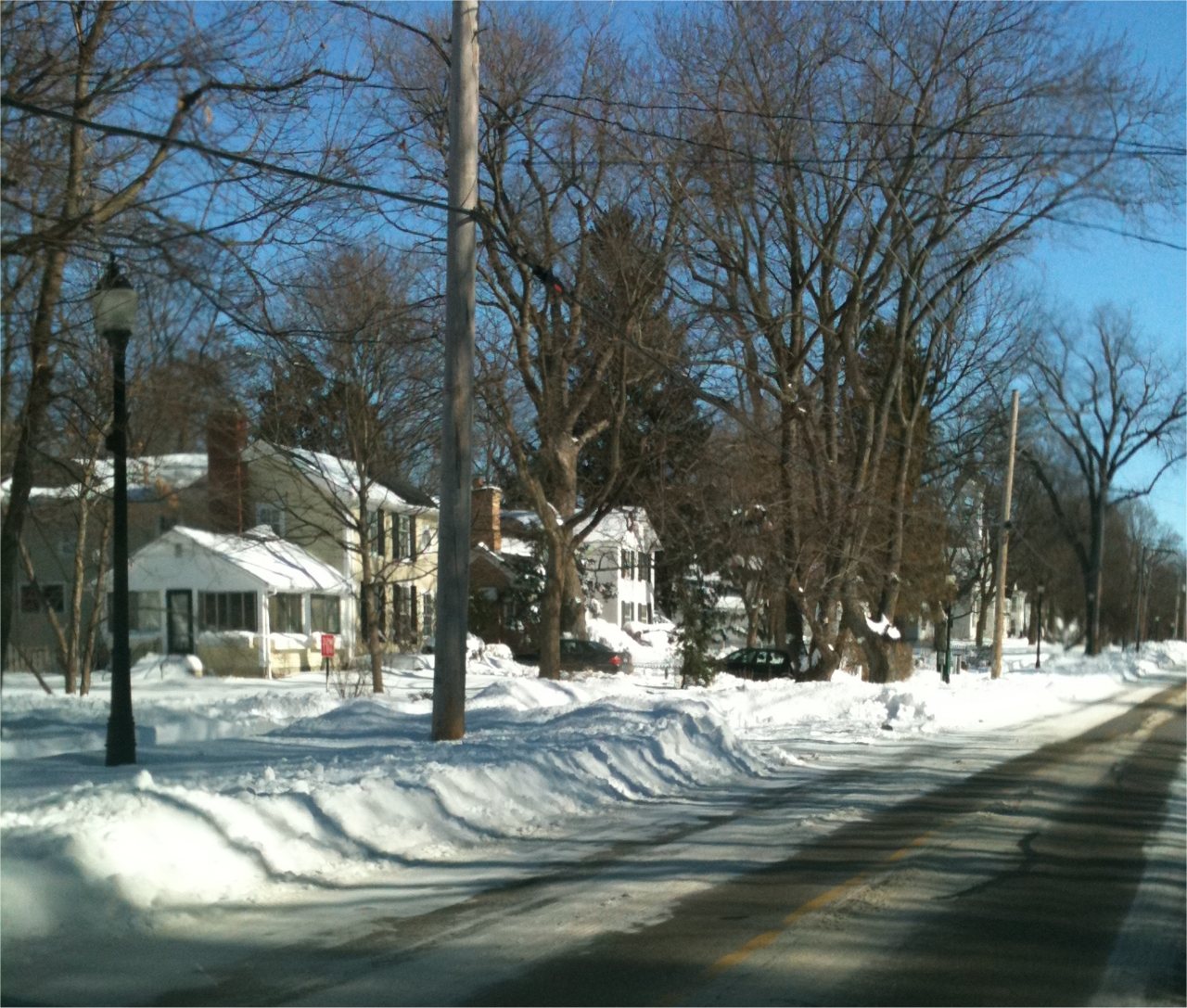



 2020
 2018
 2011
 2011
 2011
 2007


