

The story
Read it all →How Tuscola came to be
From Wikipedia’s history of Tuscola.
The city of Tuscola's name came from an unknown Native American tribe's word for "flat plain."
Text from Wikipedia, licensed CC BY-SA 4.0.
Each edition grades its towns against each other only.
More historic than 47% of U.S. towns · #424 of 768 in Illinois. What drives it
Below: 11 old photos and papers, maps from 1887 on, and the census since 1880.
The Tuscola post office opened in 1857, the earliest record of the town by name. Wikidata gives 1868.
More historic than 47% of U.S. towns, on its age, its old homes and the National Register.
On its age, its old homes and the National Register, Tuscola is more historic than 47% of U.S. towns, #424 of 768 in Illinois. Its share of homes from before 1940 holds the grade up; its National Register listings pull it down.
Few Illinois towns list much on the Register (a typical Illinois town has 0.5 per 10,000 residents, the U.S. 2.4), so Tuscola’s 0.0 sits below most of its state (28% of Illinois towns have fewer) while its 0 listings outnumber those of 23% of U.S. towns.
Founding year: the first post office (other dates in Quick answers). Homes: Census ACS 2020–24. National Register: National Park Service, May 2026 list; each listing counted once (boundary changes and added documentation belong to their listing), and a historic district counts its contributing buildings. How TownRatings grades history →
Read from the archive, the National Register and the record. The page puts what stands out first.
Fire insurance maps drew every building, what it was made of and what it was used for, so insurers could price the risk of fire. Pick a year, then a sheet.
 1887Sheet 2 of 2
Sanborn Map Company, via the Library of Congress. Editions published in 1930 or earlier, which are in the public domain.
Tuscola’s post office has been open since 1857.
US Post Offices dataset (Blevins & Helbock, CC0). Places and cemeteries from the USGS Geographic Names Information System (2021).
From Wikipedia’s history of Tuscola.
The city of Tuscola's name came from an unknown Native American tribe's word for "flat plain."
Text from Wikipedia, licensed CC BY-SA 4.0.
Passages that mention Tuscola, cut from the printed page as they were published.

Tuscola, the county seat, is situated in section 34, township 16, north, of range S east, of the third Principal Meridian. The original town was laid out by a company, who also instituted the city of Newman at the same time, in 1857, an<^ tne projectors of the enterprise predicted that a new county wculd be soon formed, that the east and west railroad would be built, and that Tuscola would be l he county seat of the new county. The new county was made in two years, Tuscola became the county seat about the same time, and the railroad
Text read by machine from the scan; it may contain errors.
H. B. Evans was elected Assessor and Treasurer in 1865 and re-elected in 1S67; as Assistant U. S. Marshal in 1870 he procured the Douglas county data for the 9th Census, and has been Post Master of Tuscola for a number of years. The first meeting, under Township organization, of the Board of Supervisors, was held in Tuscola, on Monday, May 11, 1S6S, and the Supervisors were : Caleb Garrett, of Garrett.
Text read by machine from the scan; it may contain errors.Scans and text from the Internet Archive. Books published in 1930 or earlier, which are in the public domain.
Woven from the archive, old maps, post office records, the National Register and the people born here.
 Born hereHelen Bertram is born here
 Born hereT. Gilbert Pearson is born here
 Born hereFred Ernst Busbey is born here
 In the archivePomological Watercolor POM00001657
 In the archiveErvin Park (NBY 636)
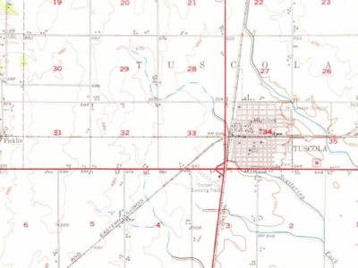 On the mapFirst mapped by the U.S. Geological Survey
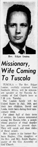 In the archiveEdgar Myron Louton in The Flint Journal of Flint, Michigan on July 22, 1963
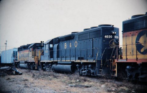 In the archiveBaltimore & Ohio B&O 4030 & 4017 (both GP40)
4 decades in the archive, from the 1890s to the 1980s. Scroll each row; tap a photo for its story.
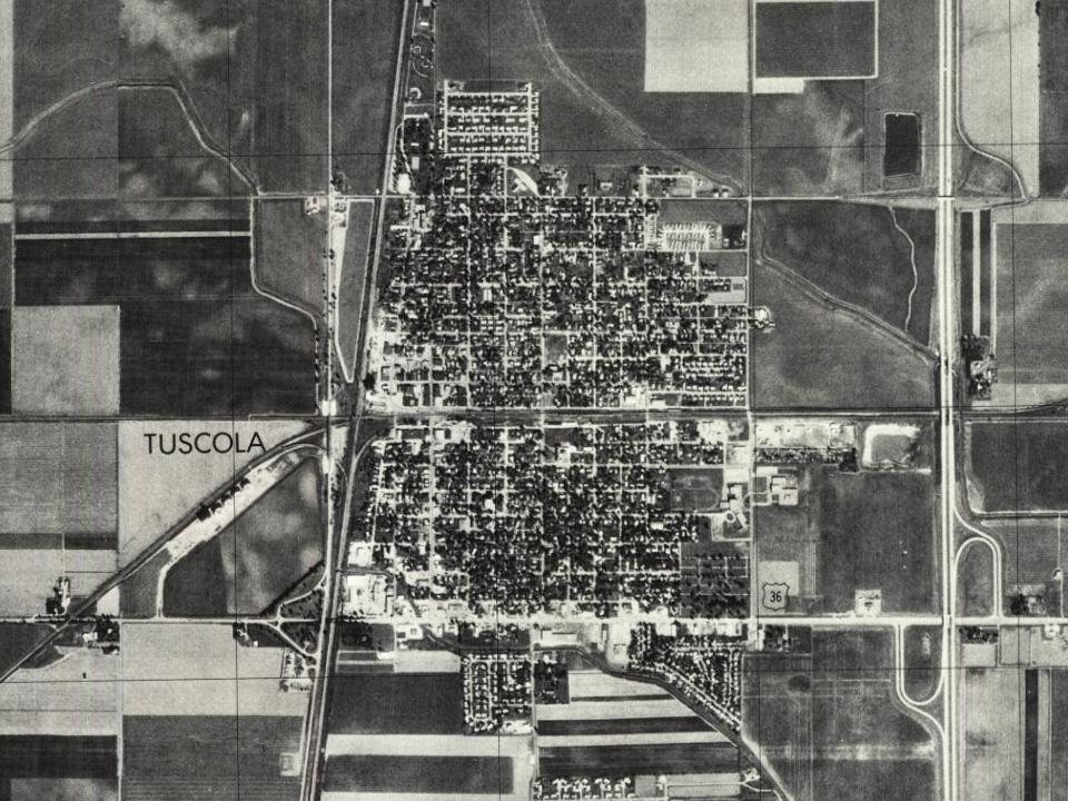
1938Ervin Park (NBY 636) 1938Sale Street Looking West (NBY 6453)
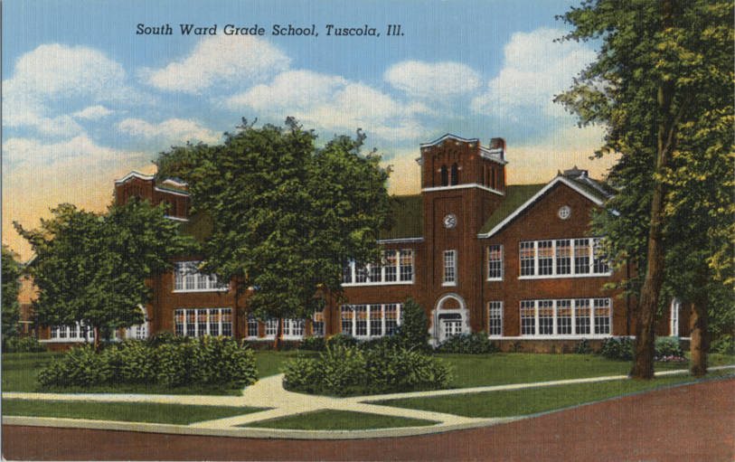
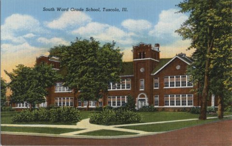 1938South Ward Grade School (NBY 2768)
 1938Tuscola Community High School (NBY 238)1963Edgar Myron Louton in The Flint Journal of Flint, Mic…Document
 1963Edgar Myron Louton circa 1960
 1966Illinois Central 1234 (SW9) crossing B&O - C&EI cross…
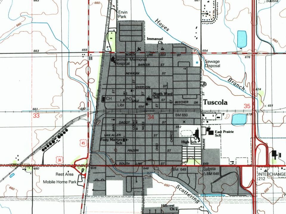
Every edition of the U.S. Geological Survey’s map of Tuscola. Tap a year, or press play to watch the town change.
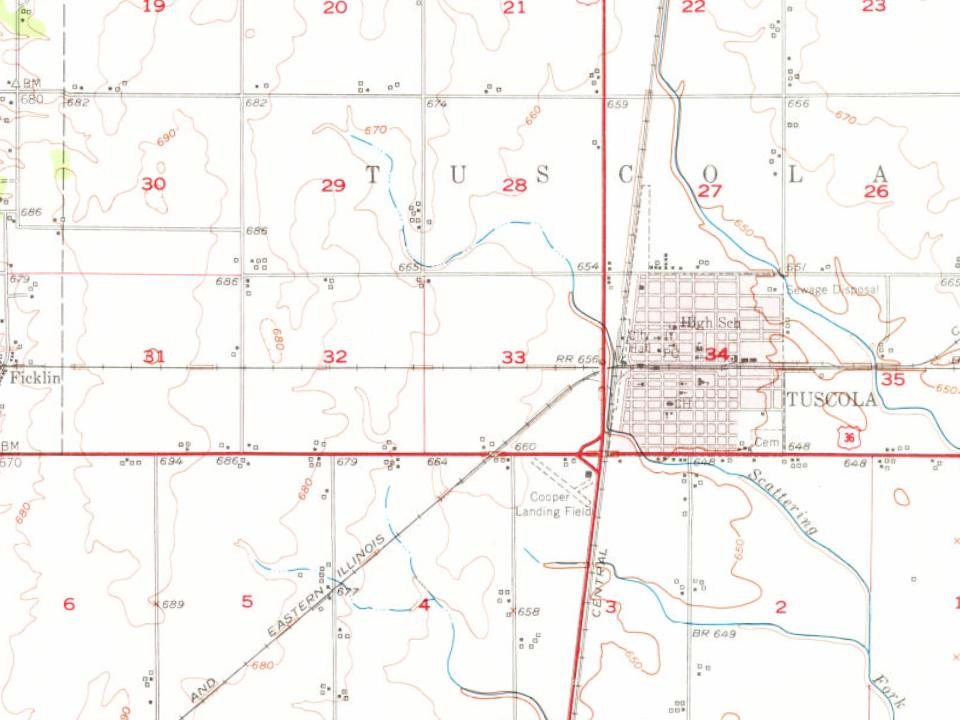
U.S. Geological Survey historical topographic maps (public domain), via Esri’s collection of the scans. The red ring marks the center of Tuscola.
No then-and-now pairs yet. Take a photo from the same spot as an old one and they appear here side by side.

Find the spot, match the angle, and add your photo. It becomes the first then-and-now pair on Tuscola’s page.
Retake this view · +15Grew from 1,457 people in 1880 to 4,636 in 2020, 3 times over.
15 censuses, 1880–2020.
U.S. Census Bureau decennial counts, from the census table on Tuscola’s Wikipedia page.
Writers, athletes, leaders and more, ranked by how widely they’re known.

Most archives stop around 1920. The photos from after that are in family albums, not libraries.
The Tuscola post office opened in 1857, the earliest record of the town by name (U.S. post office records). Wikidata gives 1868.
Tuscola is more historic than 47% of U.S. towns, #424 of 768 in Illinois. The History grade combines the town’s founding era, the share of homes built before 1940 and its National Register listings. It’s a character grade, so it isn’t part of the overall grade. How it works.
27% of Tuscola’s homes were built before 1940 (Census estimate, ±7.4 points), against a typical 11% for an Illinois town; the median home was built in 1960.
What the archives can’t tell you, neighbors can.
Founding dates: Wikidata, Wikipedia, the U.S. post office records of Blevins & Helbock (CC0) and the Census. Homes by year built: Census ACS 2020–24. National Register of Historic Places: National Park Service (list of May 22, 2026). Old photos, postcards and papers: Wikimedia Commons, the Library of Congress and other public archives, credited on each item’s page. Maps: U.S. Geological Survey historical topographic maps (via Esri) and Sanborn fire-insurance maps (Library of Congress). History text and census tables: Wikipedia (CC BY-SA 4.0). Places that used to be: USGS Geographic Names Information System (2021).
From Wikimedia Commons (14), Wikipedia, Wikidata and Wikipedia for famous people, U.S. Geological Survey historical maps, U.S. Census counts (via Wikipedia), the US Post Offices dataset (Blevins & Helbock), the USGS Geographic Names Information System, Sanborn fire insurance maps (Library of Congress) and old county and town histories (Internet Archive). Archive images are copied here with their credits and licenses, shown on each photo’s page. Refreshed monthly.
 1985
 1985
 2014
 2014
 2013