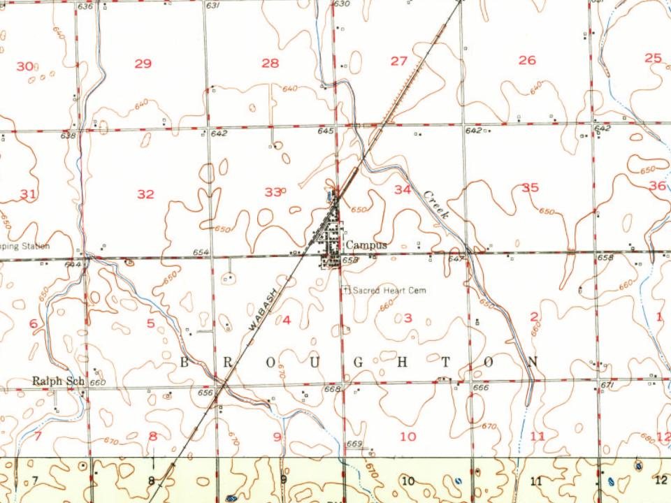
Campus was laid out and platted by Charles William Sheldon (1839–1911) in April 1880, along the Wabash Railroad on his farm of 640 acres (260 ha). The town was named "Campus" because the many trees were reminiscent of a college campus.
Sheldon was a farmer and he owned the first business in town, Campus Brick & Tile Co. He later sold the company, which passed through several owners before closing in 1952. Over the years the tile company produced millions of feet of drain tile and was one of the principal industries in the town.
Passages that mention Campus, cut from the printed page as they were published.
History of the growth and development of the campus of the University of Illinois1930 · page 169Read the page →
Read the text
ent that the University was to experience an unprecedented growth, the Trustees felt that a more comprehensive Campus Plan should be developed, especially to provide for the inevitable expansion into what is now the South Campus area, which at that time had been but roughly blocked out for Campus purposes. Accordingly, the Campus Plan Commission of 1920-22 was created, and extensive plan studies were prepared under their general direction, resulting in 1922 in the adop-
Text read by machine from the scan; it may contain errors.
History of the growth and development of the campus of the University of Illinois1930 · page 117Read the page →
Read the text
In the development of his plan, Mr. Platt accepted the Campus Meridian as laid out by Mr. Olmsted in 1906 and the subdivision into general areas recommended by the Burnham Campus Plan Commission of 1912. He retained the
Text read by machine from the scan; it may contain errors.
Scans and text from the Internet Archive. Books published in 1930 or earlier, which are in the public domain.
By decade
No old photos in the archives yet
Weddings on Main Street, storms, parades, school pictures, the old store. If it’s in your family album, it belongs here.
Be the first to add onePhotograph a print flat, in daylight, no flash.
Founding dates: Wikidata, Wikipedia, the U.S. post office records of Blevins & Helbock (CC0) and the Census. Homes by year built: Census ACS 2020–24. National Register of Historic Places: National Park Service (list of May 22, 2026). Old photos, postcards and papers: Wikimedia Commons, the Library of Congress and other public archives, credited on each item’s page. Maps: U.S. Geological Survey historical topographic maps (via Esri) and Sanborn fire-insurance maps (Library of Congress). History text and census tables: Wikipedia (CC BY-SA 4.0). Places that used to be: USGS Geographic Names Information System (2021). How TownRatings grades history →
From Wikipedia, Wikidata and Wikipedia for famous people, U.S. Geological Survey historical maps, U.S. Census counts (via Wikipedia), the US Post Offices dataset (Blevins & Helbock), the USGS Geographic Names Information System and old county and town histories (Internet Archive). Archive images are copied here with their credits and licenses, shown on each photo’s page. Refreshed monthly.