The Ashton post office opened in 1867, the earliest record of the town by name. Another post office, Ogle Station (1855), opened inside today’s town and later closed.
First census: 646 in 18802020 census: 967159 years
Founding year: the first Ashton post office (Blevins & Helbock, CC0).The full story ↓
What stands out about Ashton’s past
Read from the archive, the National Register and the record. The page puts what stands out first.
Ashton was originally called Ogle Station, but it was afterwards changed in order to avoid confusion with Ogle County, Illinois. A tornado hit the town on April 9, 2015 at 6:40 pm CDT.
In 1854 emigrants began to come in from every quarter and located in Ashton township. In that year the first house was built by James L. Bates, where the village of Ashton now is. The town was laid out in 1855. J. L. Bates kept the first store here. The first warehouse was erected in the latter part of 1854, and in this was kept the first post-office? The first blacksmith shop was erected in 1855, by S. M. Kifnes.
Text read by machine from the scan; it may contain errors.
of law and equity where the town is interested. On motion it was voted that the next meeting be held at R. B. Evitts'. Meetings were held at private houses till 1856, when a meeting was held in the schoolhouse at Ogle Station (now the village of Ashton). Bradford is an excellent township for farming. About three sections in the southeast corner consist of marsh or swamp land, used only for pasturing. Sec. 5, and a little adjoining land, is flat; the rest of the township is probably equal in natural productiveness to any
Text read by machine from the scan; it may contain errors.
War history of Lee County, Illinois, 1917-'18-'191920 · page 127Read the page →
Read the text
In the organization of tlie eouiit>- which followed to raise funds, Nathan A. Petrie, the veteran President of The Ashton Bank was placed on the executive committee of Lee County and also made chairman of the finance committee of Ashton township. Although at 77 years of age, when men are usually shelved, he led the organization which made every drive for funds in Ashton township successful, and which gave Ashton township an honored name among the towns of the county.
Text read by machine from the scan; it may contain errors.
History of Lee County, Illinois1914 · page 294Read the page →
Read the text
While dwelling on the schools I may as well give the following histcuical sketch wi'itten in 1909: "More than a hall' a century has passed since the educational interests of the village of Ashton Ix'gan. The cai'ly inhaliitants of the village were lai'gely of Irish descent. To the north it was (entirely American while to the south tlu're wei-e some English peo]»le and a small settlement of French. The thrifty (Ternian p(t])ulation is of more recent years. Xo \-ei'\' learned oicultni'ed
Text read by machine from the scan; it may contain errors.
Scans and text from the Internet Archive. Books published in 1930 or earlier, which are in the public domain.
Timeline
Ashton, 1855 to 1952
Woven from the archive, old maps, post office records, the National Register and the people born here.
Founding dates: Wikidata, Wikipedia, the U.S. post office records of Blevins & Helbock (CC0) and the Census. Homes by year built: Census ACS 2020–24. National Register of Historic Places: National Park Service (list of May 22, 2026). Old photos, postcards and papers: Wikimedia Commons, the Library of Congress and other public archives, credited on each item’s page. Maps: U.S. Geological Survey historical topographic maps (via Esri) and Sanborn fire-insurance maps (Library of Congress). History text and census tables: Wikipedia (CC BY-SA 4.0). Places that used to be: USGS Geographic Names Information System (2021). How TownRatings grades history →
From Wikimedia Commons (14), Wikipedia, U.S. Geological Survey historical maps, U.S. Census counts (via Wikipedia), the US Post Offices dataset (Blevins & Helbock), the USGS Geographic Names Information System, Sanborn fire insurance maps (Library of Congress) and old county and town histories (Internet Archive). Archive images are copied here with their credits and licenses, shown on each photo’s page. Refreshed monthly.


 2012
 2012
 2012
 2012
 2011
 2009
 2007
 2007
 2007
 2007
 2007
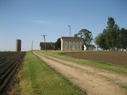 2007
 2007
 2006


