Arrowsmith was laid out on December 7, 1871, by Charles W. Holder (1808–1887) and Owen T. Reeves (1829- ?). The founders kept their identities hidden for two years until the plat was officially recorded. Both proprietors lived in Bloomington, were experienced land dealers, and were involved in the creation of the Lafayette Bloomington and Muncie Railroad. Holder had been Jesse Fell's partner in the founding of Towanda, Illinois, was one of his partners in the development of Normal, Illinois, and the town of Holder, Illinois, would soon be named in his honor. Reeves was a Bloomington lawyer and judge who had been colonel of the short-lived 70th Illinois Infantry during the Civil War. Arrowsmith Township had voted $30,000 in bonds to support the construction of the railroad on the condition that a station be established in their township. It was at first thought that the name of the town…
Passages that mention Arrowsmith, cut from the printed page as they were published.
History of McLean County, Illinois1924 · page 84Read the page →
Read the text
The village of Arrowsmith was founded when the railroad, afterward known as the Lake Erie, was built through the township, for which Arrowsmith township voted the sum of $25,000 in bonds to aid in its building. Trains began running through the village in 1872, and at once it became an important grain and stock shipping point. The only stone quarry in McLean County was located near Arrowsmith for many years, but was later abandoned, since the stone was of poor quality. The land upon which this village is located belonged to Anderson Young, Jonas
Text read by machine from the scan; it may contain errors.
W. Green. Arrowsmith has had a Christian Church since 1879. The church at Bellflower was formed in 1891, and in 1913 the modern church was built. Buck Creek Church, near Lexington, was formed in 1850 and a house erected in 1869. A church was formed at Carlock in 1836, known as White Oak Grove, but after fifty-three years of existence it passed out and the membership transferred to Carlock. Colfax has had a church since 1867, and in 1907 the present building was erected. John R. Golden formed a congregation at Cooksville in 1902, succeeding the
Text read by machine from the scan; it may contain errors.
Scans and text from the Internet Archive. Books published in 1930 or earlier, which are in the public domain.
Timeline
Arrowsmith, 1871 to 1952
Woven from the archive, old maps, post office records, the National Register and the people born here.
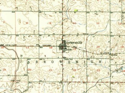
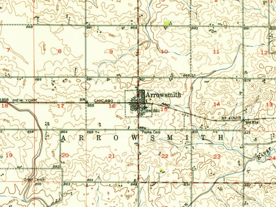
Every edition of the U.S. Geological Survey’s map of Arrowsmith. Tap a year, or press play to watch the town change.
1952Arrowsmith sheet · 1:62,500
U.S. Geological Survey historical topographic maps (public domain), via Esri’s collection of the scans. The red ring marks the center of Arrowsmith.
People over time
Arrowsmith, census by census
Between 276 and 366 people in every census since 1900.
13 censuses, 1900–2020.
U.S. Census Bureau decennial counts, from the census table on Arrowsmith’s Wikipedia page.
Questions about Arrowsmith’s history
What year was Arrowsmith founded?
In 1871, according to Wikidata and Wikipedia’s history of the town. Arrowsmith’s post office opened in 1872, and the census of 1900 counted 317 people here.
Founding dates: Wikidata, Wikipedia, the U.S. post office records of Blevins & Helbock (CC0) and the Census. Homes by year built: Census ACS 2020–24. National Register of Historic Places: National Park Service (list of May 22, 2026). Old photos, postcards and papers: Wikimedia Commons, the Library of Congress and other public archives, credited on each item’s page. Maps: U.S. Geological Survey historical topographic maps (via Esri) and Sanborn fire-insurance maps (Library of Congress). History text and census tables: Wikipedia (CC BY-SA 4.0). Places that used to be: USGS Geographic Names Information System (2021). How TownRatings grades history →
From Wikipedia, Wikidata and Wikipedia for famous people, U.S. Geological Survey historical maps, U.S. Census counts (via Wikipedia), the US Post Offices dataset (Blevins & Helbock), the USGS Geographic Names Information System and old county and town histories (Internet Archive). Archive images are copied here with their credits and licenses, shown on each photo’s page. Refreshed monthly.