Andover dates to 1835, and 36% of its homes were built before 1940
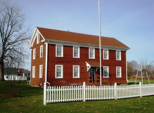
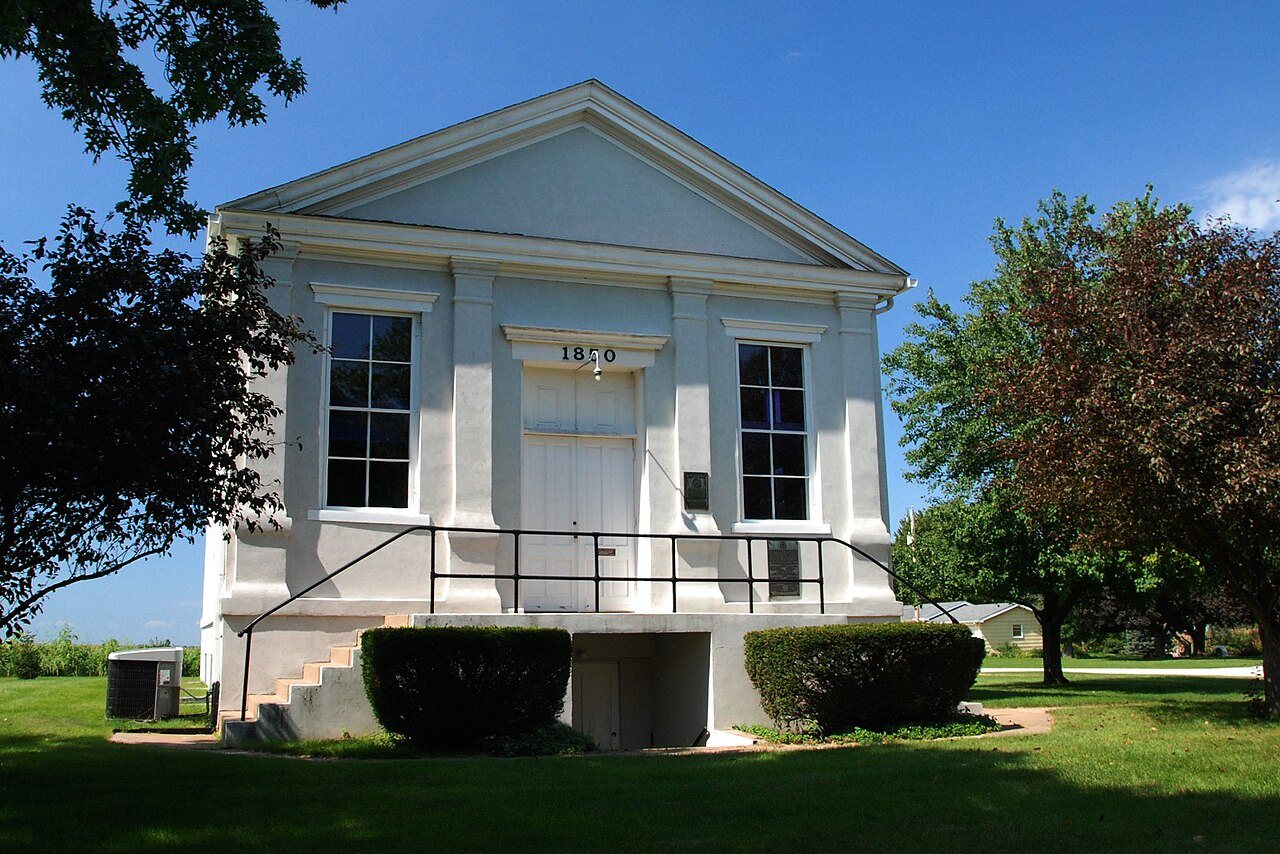
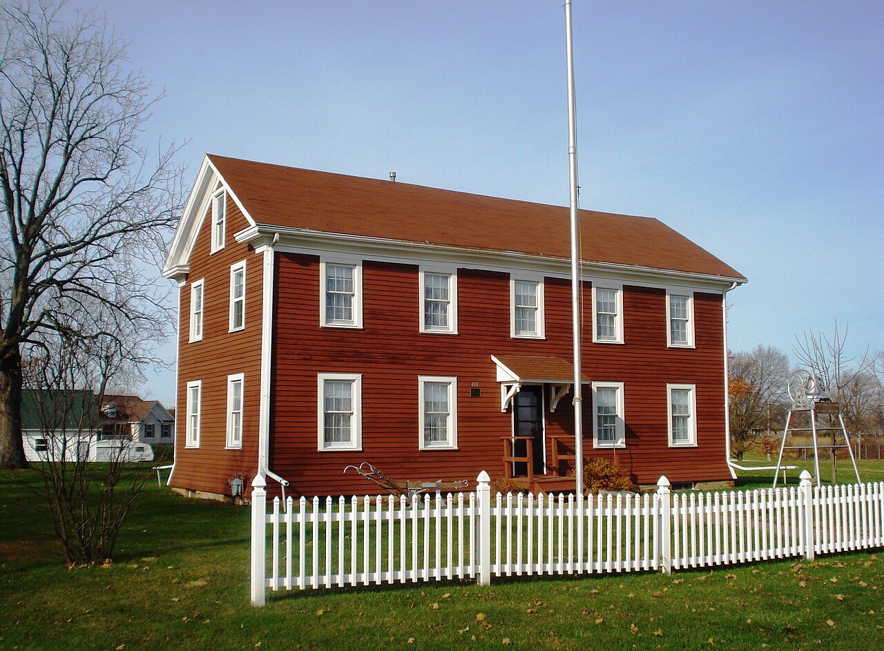
Its Register listings are the Lind, Jenny, Chapel, the Andover Chapter House and the August and Margaretha Rehnstrom House. Below: maps from 1937 on and the census since 1880.
Andover is the oldest community in Henry County. Andover was the first area to be settled as a town within the county and the first mill was built in 1836–37. Andover soon became a hub of wagon trails.
Andover was founded in September 1835 by the Reverend Ithamar Pillsbury, as an agent for the Andover Colony. Pillsbury, who had been a corporal in the War of 1812 attached in the New Hampshire military, narrowly escaping death in the war which had convinced him to become a Presbyterian minister.
Passages that mention Andover, cut from the printed page as they were published.
Portrait and biographical album of Henry County, Illinois1885 · page 575Read the page →
Read the text
m 575 village of Andover and music in both Cambridge and Andover, and the following spring opened anewfarm on the prairie in the township of Osco. In 1857 he removed to Cambridge and passed eight years there in business. He then bought a farm of 140-acres, situated southeast of the village, and on
Text read by machine from the scan; it may contain errors.
The history of Henry County, Illinois1877 · page 526Read the page →
Read the text
A. Clementson, on the northeast corner of Sec. 18 ; but later services were held in a smxll school house in Andover, until 1852, when they occupied the basement of their first church, which was finished a few months later, at an expense of $2,000. The formal organization of the church was effected March 18, 1850, and among the communicants may be mentioned Rev. Lars P. Esbjorn and wife, Samuel Johnsson and wife, Jonas Anderson and wife, Anders Peter Larsson, Nils P. A. Peterson and wife and Olof Nordin.
Text read by machine from the scan; it may contain errors.
The history of Henry County, Illinois1877 · page 507Read the page →
Read the text
distant, there was the fort on Rock Island, with the small settlement then called Stephenson, in its vicinity ; on the south, the little colony of Wethersfield had just started, while a few miles west of the present toAvn of Cambridge was the still earlier colony of Andover ; at Henderson's Grove, forty miles away, in Knox County, was an old " Sucker " settlement, with the Galesburg colony hovering under the border of its forest in the famous " Log City ;" on the east was the village of Princeton, settled in 1831 b_y a colony from Northampton, Mass.; towards the .
Text read by machine from the scan; it may contain errors.
Portrait and biographical album of Henry County, Illinois1885 · page 662Read the page →
Read the text
he returned to England, where he remained six months; then returned to Rock Island County, where he remained four years. He came thence to the township of Andover, in Henry County, and bought 160 acres of land, which he managed seven years previous to purchasing, with profitable results.
Text read by machine from the scan; it may contain errors.
Scans and text from the Internet Archive. Books published in 1930 or earlier, which are in the public domain.
National Park Service, National Register of Historic Places. Photos from Wikimedia Commons, credited on each place’s page.
Questions about Andover’s history
What year was Andover founded?
In 1835, according to Wikidata and Wikipedia’s history of the town. Andover’s post office opened in 1837, and the census of 1880 counted 302 people here.
What is on the National Register in Andover?
Three places: the Lind, Jenny, Chapel (listed 1975), the Andover Chapter House (1980) and the August and Margaretha Rehnstrom House (2008).
Founding dates: Wikidata, Wikipedia, the U.S. post office records of Blevins & Helbock (CC0) and the Census. Homes by year built: Census ACS 2020–24. National Register of Historic Places: National Park Service (list of May 22, 2026). Old photos, postcards and papers: Wikimedia Commons, the Library of Congress and other public archives, credited on each item’s page. Maps: U.S. Geological Survey historical topographic maps (via Esri) and Sanborn fire-insurance maps (Library of Congress). History text and census tables: Wikipedia (CC BY-SA 4.0). Places that used to be: USGS Geographic Names Information System (2021). How TownRatings grades history →
From Wikimedia Commons (2), Wikidata (2), the National Register of Historic Places (3), Wikipedia, Wikidata and Wikipedia for famous people, U.S. Geological Survey historical maps, U.S. Census counts (via Wikipedia), the US Post Offices dataset (Blevins & Helbock), the USGS Geographic Names Information System and old county and town histories (Internet Archive). Archive images are copied here with their credits and licenses, shown on each photo’s page. Refreshed monthly.


 2009
 2006