
 Reg
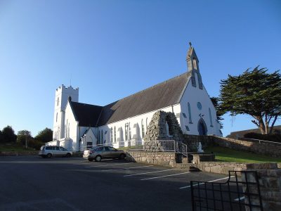
Church / chapel · 1915–1925Séipéal Mhic Dara [Saint Mac Dara's Catholic Church]An Ceathrú Rua [Carrowroe]Photo: Newbert12 · CC BY-SA 4.0 · Commons file
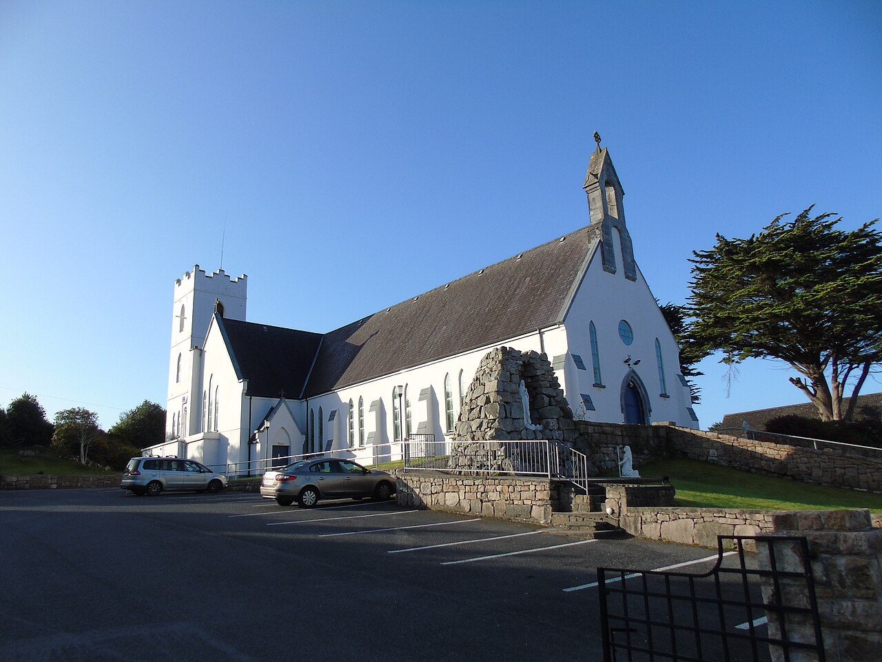 Séipéal Mhic Dara [Saint Mac Dara's Catholic Church] · Photo: Newbert12 · CC BY-SA 4.0
2buildings on the National Inventory
History of An Cheathrú Rua · National Inventory of Architectural Heritage
An Cheathrú Rua has 2 buildings on the National Inventory
An Cheathrú Rua’s oldest recorded building dates from 1915. Since 2011, An Cheathrú Rua has added 6.9% of its homes, against 5.8% in the typical town.
On the National Inventory
2
Of national importance
0
NIAH National or International, and national monuments
Archaeological sites
0
Sites and Monuments Record
Oldest building
1915
the first date on its record
Homes built before 1919
2.4%
typical town: 3.4%
In pictures
2 photographs of An Cheathrú Rua’s heritage
Pictured and oldest in An Cheathrú Rua: Séipéal Mhic Dara [Saint Mac Dara's Catholic Church], 1915. Two to begin with: Séipéal Mhic Dara [Saint Mac Dara's Catholic Church] and Túr Martello Ros an Mhíl [Rossaveel Martello Tower].
Photos from Wikimedia Commons, copied to our own server, each credited to its photographer with its licence; names open the place’s page. Tap a photo to step through them full screen.
The map
Where An Cheathrú Rua’s history is
Every building and site on the record inside the town, by its rating.
Regional and other sites
Hover a dot for its name; tap one to open its page.
The 2, by rating
2 Regional and other sites
The National Inventory of Architectural Heritage is the State’s survey of buildings from 1700 to today, county by county; each record gives a rating, dates, a type and an appraisal. Being on it is not legal protection: that is each council’s Record of Protected Structures.
Points from the National Inventory of Architectural Heritage and the Sites and Monuments Record, Department of Housing, Local Government and Heritage (CC BY 4.0).
Regional and other sites
2 historic places in An Cheathrú Rua
Buildings rated Regional, of significance in their region, and archaeological monuments with an encyclopedia article.
School · 1950–1960Scoil Náisiúnta Mhic DaraAn Ceathrú Rua [Carrowroe]
What’s recorded
Two groups share the top of An Cheathrú Rua’s record: churches and chapels and homes, 2 each
Across its record, An Cheathrú Rua takes in 5 kinds of building. Leading the record by rating: Túr Martello Ros an Mhíl [Rossaveel Martello Tower] and Séipéal Tír an Fhia [Teeranea Catholic Chapel]. Beyond An Cheathrú Rua’s edge the record is older still: 1780.
Churches and chapels2
Homes2
Public buildings1
Walls, gates and bridges1
Other buildings1
Types as the National Inventory records them, grouped, for the records inside the town and those just outside it that belong to it; a building keeps the type it was built as.
Archaeology and around
Just outside An Cheathrú Rua
Places on the record just outside the town that belong to it, nearest first.
Just outside An Cheathrú Rua: 5
| Túr Martello Ros an Mhíl [Rossaveel Martello Tower]Regional rating (NIAH) · 2.2 km outside the town |
| Séipéal Tír an Fhia [Teeranea Catholic Chapel]Regional rating (NIAH) · 1.8 km outside the town |
| House, An Crompán [Crumpaun]Regional rating (NIAH) · 2.7 km outside the town |
| House, An Pointe [Pointa]Regional rating (NIAH) · 2.1 km outside the town |
| Quay, Garmna [Gorumna Island]Regional rating (NIAH) · 2.5 km outside the town |
Homes by age
Only 2.4% of An Cheathrú Rua’s homes go back before 1919 (3.4% is typical)
The homes built in An Cheathrú Rua since 2001 are fewer than those built before it. Building in An Cheathrú Rua peaked in the 2000s: 31% of the homes now standing. Against a typical 3.9%, only 2.8% of An Cheathrú Rua’s homes went up between the wars.
2.4%
Before 1919
2.8%
1919–45
27%
1946–80
29%
1981–2000
31%
2001–10
6.9%
Since 2011
An Cheathrú RuaTypical town
Census 2022, households by the year their home was built (CSO, Small Area Population Statistics, CC BY 4.0); the typical town is the middle Irish town of 2,500 or more.
In brief
An Cheathrú Rua in brief
The official list counts 2 places on the record in An Cheathrú Rua. Its homes are mostly newer: 2.4% were built before 1919, against 3.4% in the typical town. The oldest is Séipéal Mhic Dara [Saint Mac Dara's Catholic Church], from 1915.
How to read these numbers
What this data can and can’t tell you
- The National Inventory. The State’s survey of post-1700 buildings, made county by county since 1990 (NIAH); a few records are older. It records; it does not protect.
- Ratings. International and National: of significance across Ireland or beyond. Regional: in its region. Local and record-only buildings get no page here.
- Archaeology. The Sites and Monuments Record (National Monuments Service) lists known archaeological sites; the national monuments to visit and the sites with an encyclopedia article get pages here.
- Protection. Both registers are surveys, not protection: a building is protected by its council’s Record of Protected Structures, and no national open list joins the 31 councils’ records.
- The grade. Ireland’s History grade is not built yet: the page describes, and gives no grade.
Questions about An Cheathrú Rua’s history
How many historic buildings are recorded in An Cheathrú Rua?
2 buildings on the National Inventory, from the National Inventory of Architectural Heritage.
What is the oldest building in An Cheathrú Rua?
Séipéal Mhic Dara [Saint Mac Dara's Catholic Church]: the first date on its record is 1915.
How old are the homes in An Cheathrú Rua?
2.4% of its homes were built before 1919, against 3.4% in the typical town.
Are the buildings on this page protected?
Being on the National Inventory or the Sites and Monuments Record is a record, not protection by itself: buildings are protected by their council’s Record of Protected Structures, which each council keeps and no national open list gathers, so this page can’t say which are on it.
This page describes its history; it gives no grade.
Source: National Inventory of Architectural Heritage and Sites and Monuments Record, Department of Housing, Local Government and Heritage (CC BY 4.0); Wikidata (CC0).
Sources: National Inventory of Architectural Heritage (buildingsofireland.ie) · Sites and Monuments Record and the National Monuments Service’s monuments to visit · CSO Census 2022 (homes by the year built) · Photos: Wikimedia Commons, including the National Library of Ireland’s collections, each credited with its licence and copied to our own server · Wikidata (CC0) for other names and articles. Under Creative Commons Attribution 4.0 (CC BY 4.0).
Contains Central Statistics Office (CSO) data, Census 2022, and Tailte Éireann boundaries (CSO Urban Areas, Small Areas, local electoral areas, constituencies), under Creative Commons Attribution 4.0 (CC BY 4.0).