The Gresham Metropole is one of 381 buildings in St Luke's the National Inventory rates Regional. The Gresham Metropole dates from 1890–1910. 227 other places on the record stand within 400 m.
This imposing building makes a notable and positive addition to the streetscape. Designed by architect Henry Hill, the irregular façade of this building is enlivened by the variety of materials utilised in it's construction.
From the National Inventory’s appraisal, record 20512470 · CC BY 4.0 · Department of Housing, Local Government and Heritage
Regional is the National Inventory’s rating for a building of significance in its region; most rated buildings carry it.
In old photographs
1 old view of The Gresham Metropole
Made before 1950, from 1900: public domain, or from the National Library of Ireland with no known copyright restrictions. Tap one to see it full screen.
Is The Gresham Metropole on the National Inventory?
Yes: rated Regional (record 20512470).
Can you visit The Gresham Metropole?
It can be seen from the street; whether you can go inside depends on its owner.
When was The Gresham Metropole built?
Its National Inventory record dates it to 1890–1910.
Is The Gresham Metropole protected?
Being on the National Inventory or the Sites and Monuments Record is a record, not protection by itself: buildings are protected by their council’s Record of Protected Structures, which each council keeps and no national open list gathers, so this page can’t say which are on it.
Source: National Inventory of Architectural Heritage and Sites and Monuments Record, Department of Housing, Local Government and Heritage (CC BY 4.0); Wikidata (CC0).
Sources: National Inventory of Architectural Heritage (buildingsofireland.ie) · Photos: Wikimedia Commons, including the National Library of Ireland’s collections, each credited with its licence and copied to our own server. Under Creative Commons Attribution 4.0 (CC BY 4.0).
Contains Central Statistics Office (CSO) data, Census 2022, and Tailte Éireann boundaries (CSO Urban Areas, Small Areas, local electoral areas, constituencies), under Creative Commons Attribution 4.0 (CC BY 4.0).
 1900s


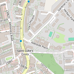


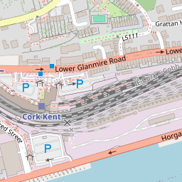


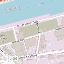
 MacCurtain Street Garda Síochána StationRegional rating (NIAH) · 100 m on
 St Patrick's Catholic ChurchRegional rating (NIAH)300 mArd PatrickRegional rating (NIAH)300 mSt Patrick's Presbytery (presbytery / parochial / curate's house)Regional rating (NIAH)300 mSt Patrick's Presbytery (presbytery / parochial / curate's house)Regional rating (NIAH)300 m