- Address
- Cork Road, Midleton
- Type
- House
- NIAH reg. no.
- 20907607
Woodview
Cork Road, Midleton
Many historic buildings are private homes. Please enjoy them from the street.
About Woodview
The National Inventory rates Woodview Regional, one of 136 in Midleton. Woodview dates from 1890–1910. 3 other places on the record stand within 400 m.
Complex form lent coherence by repetition of features such as gabled dormers and flat-roofed bay windows to multiple façades. Interesting roofline created by complex plan and multiplicity of gables, typical of late nineteenth-century.
From the National Inventory’s appraisal, record 20907607 · CC BY 4.0 · Department of Housing, Local Government and Heritage
NIAHRead its National Inventory recordThe full description and appraisal, the survey photo and the map · 20907607↗Regional is the National Inventory’s rating for a building of significance in its region; most rated buildings carry it.
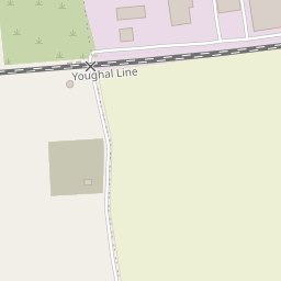
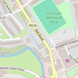
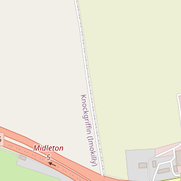
Finding Woodview
Midleton






2 within 150 m
Every place on the record within this distance; each opens its own page.
Near Midleton: more houses on the record
8 like it are within 40 km, each with a photo. Start with Fota House in Glounthaune, 8.4 km away. At the edge of the list, 19 km away: The Everyman Palace Theatre, St Luke's.




Questions about Woodview
Is Woodview on the National Inventory?
Yes: rated Regional (record 20907607).
Can you visit Woodview?
Many historic buildings are private homes; this one can be seen from the street.
When was Woodview built?
Its National Inventory record dates it to 1890–1910.
Is Woodview protected?
Being on the National Inventory or the Sites and Monuments Record is a record, not protection by itself: buildings are protected by their council’s Record of Protected Structures, which each council keeps and no national open list gathers, so this page can’t say which are on it.
Source: National Inventory of Architectural Heritage and Sites and Monuments Record, Department of Housing, Local Government and Heritage (CC BY 4.0); Wikidata (CC0).
Sources: National Inventory of Architectural Heritage (buildingsofireland.ie). Under Creative Commons Attribution 4.0 (CC BY 4.0).
Contains Central Statistics Office (CSO) data, Census 2022, and Tailte Éireann boundaries (CSO Urban Areas, Small Areas, local electoral areas, constituencies), under Creative Commons Attribution 4.0 (CC BY 4.0).