Peaked at 692 in 1980; 429 people lived here in 2020.
7 censuses, 1960–2020.
U.S. Census Bureau decennial counts, from the census table on Otho’s Wikipedia page.
The story so far
Otho, in brief
Wikipedia doesn’t have a history of Otho yet. The photos, dates and memories neighbors add here are how it gets written.
Otho is a city in Webster County, Iowa, United States. The population was 429 at the time of the 2020 census.
Between the 2010 and 2020 censuses its population fell from 542 to 429 (-21%).
Intro from Wikipedia. Population: U.S. Census Bureau.
From the old history books
What they wrote about Otho, 1876–1913
Passages that mention Otho, cut from the printed page as they were published.
History of Fort Dodge and Webster County, Iowa1913 · page 248Read the page →
Read the text
took up a tract of land in Buena Vista county but soon abandoned the place and came to Webster county, believing that he could do better here. He purchased one hundred and sixty acres of land on the present site of the town of Otho, paying twelve dollars an acre for the property. He improved the same and was engaged in its operation until 1887, when he rented it to his sons.
Text read by machine from the scan; it may contain errors.
Centennial history of Webster county1876 · page 14Read the page →
Read the text
The town of Elk Horn was detached from Otho by an order of the Board of Supervisors, October 10th, 1871, and the first election held. Elk Horn embraces all of government township 88, north of range 29, except a part of section 1, which is east of the river. The first school organized in this township was in 18.58, and Mrs. Geo. D. Hart taught twelve scholars. There are now nine schools in the township, with an average of one hundred and fifty scholars. On the 4th of August, 1871, an Evangelical Lutheran church (Norwegian! was organized with eleven members. Tliey now have one hundred and sixty-five members, and hold their meetings in the school-house. The Rev. O. A. Sauek, pastor. The Swedish Evangelical Lutheran
Text read by machine from the scan; it may contain errors.
History of Fort Dodge and Webster County, Iowa1913 · page 62Read the page →
Read the text
account, later also carrying on fanning. He operated his thirtytwo acre tract and likewise cultivated rented land. The pursuits of mining and farming claimed his attention until 1904, when he took up his al)ode in Otho. where he owns a handsome residence and two lots and where he has since lived in honorable retirement. He still owns his farm of thirty-two acres, situated three-fourths of a mile from Otho. He is a stockholder in the Farmers Elevator Company of Otho and lias long been numbered among the substantial
Text read by machine from the scan; it may contain errors.
Scans and text from the Internet Archive. Books published in 1930 or earlier, which are in the public domain.
By decade
No old photos in the archives yet
Weddings on Main Street, storms, parades, school pictures, the old store. If it’s in your family album, it belongs here.
Be the first to add onePhotograph a print flat, in daylight, no flash.
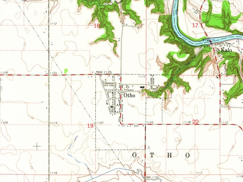
Founding dates: Wikidata, Wikipedia, the U.S. post office records of Blevins & Helbock (CC0) and the Census. Homes by year built: Census ACS 2020–24. National Register of Historic Places: National Park Service (list of May 22, 2026). Old photos, postcards and papers: Wikimedia Commons, the Library of Congress and other public archives, credited on each item’s page. Maps: U.S. Geological Survey historical topographic maps (via Esri) and Sanborn fire-insurance maps (Library of Congress). History text and census tables: Wikipedia (CC BY-SA 4.0). Places that used to be: USGS Geographic Names Information System (2021). How TownRatings grades history →
From U.S. Geological Survey historical maps, U.S. Census counts (via Wikipedia), the USGS Geographic Names Information System and old county and town histories (Internet Archive). Archive images are copied here with their credits and licenses, shown on each photo’s page. Refreshed monthly.