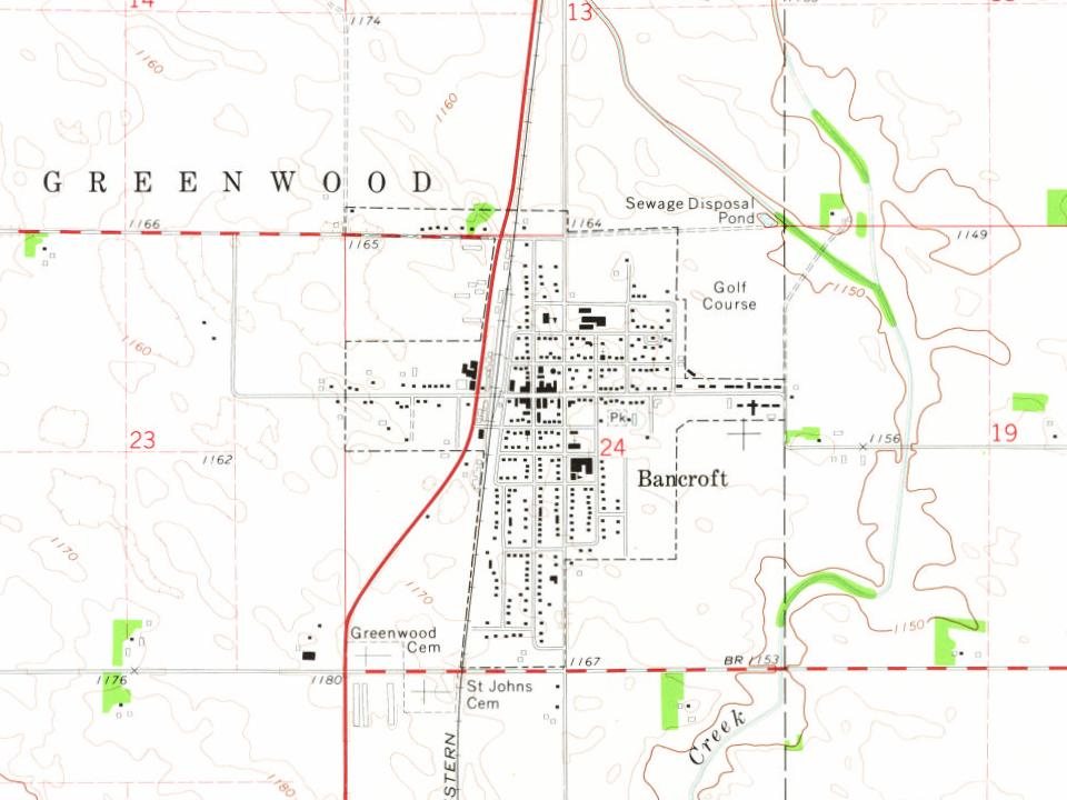
The Bancroft post office opened in 1881, the earliest record of the town by name. Another post office, Greenwood Center (1870), opened inside today’s city and later closed.
First census: 657 in 18902020 census: 699145 years
How did Bancroft get its name?
Bancroft was named for George Bancroft, an American historian, government official, and diplomat.
Passages that mention Bancroft, cut from the printed page as they were published.
History of Kossuth County, Iowa1913 · page 655Read the page →
Read the text
The Methodist church, like those in most of the towns in the county, was at first on the circuit. Pastors from Bancroft held services for several years before one was stationed at Burt. The church was formally organized and incorporated June 8, 1892, George E. Marble, Levi Toothman, J. B. Cork, J. N. Easterly and Charles Nichols being the first board of trustees. The church is worshiping in a neat little edifice, and Rev. G. \V. Eggleston is the pastor. Before him in turn, reaching back into the past, the pastors were Rev. Allen Wood. Rev. Marcy, Rev.
Text read by machine from the scan; it may contain errors.
History of Kossuth County, Iowa1913 · page 683Read the page →
Read the text
It was the opinion of Ambrose A. Call, however, that two or three families located for a brief period on that territory before 1865. In an address delivered at Bancroft before the Old Settlers' meeting, January 23, 1901, he said in part: "The first permanent settlement in what was originally Bancroft county was made in 1863. During that year and 1864 a number of families took claims near the river, and after the close of the war the rich prairies were taken up. A couple of Scandinavians were the first to make claims in what was Bancroft county. They located on the west side of the river just south of the Emmet
Text read by machine from the scan; it may contain errors.
Scans and text from the Internet Archive. Books published in 1930 or earlier, which are in the public domain.
Timeline
Bancroft, 1855 to 1972
Woven from the archive, old maps, post office records, the National Register and the people born here.
Founding dates: Wikidata, Wikipedia, the U.S. post office records of Blevins & Helbock (CC0) and the Census. Homes by year built: Census ACS 2020–24. National Register of Historic Places: National Park Service (list of May 22, 2026). Old photos, postcards and papers: Wikimedia Commons, the Library of Congress and other public archives, credited on each item’s page. Maps: U.S. Geological Survey historical topographic maps (via Esri) and Sanborn fire-insurance maps (Library of Congress). History text and census tables: Wikipedia (CC BY-SA 4.0). Places that used to be: USGS Geographic Names Information System (2021). How TownRatings grades history →
From Wikimedia Commons (3), Wikipedia, U.S. Geological Survey historical maps, U.S. Census counts (via Wikipedia), the US Post Offices dataset (Blevins & Helbock), the USGS Geographic Names Information System, Sanborn fire insurance maps (Library of Congress) and old county and town histories (Internet Archive). Archive images are copied here with their credits and licenses, shown on each photo’s page. Refreshed monthly.


 2021
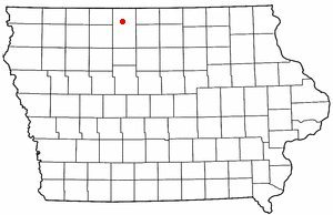 2004