Guest, Sign inJoin

Post to St. Simons

We’ll email a one-tap link to publish your post. No password, and nothing is public until you click it.
Already a member? Sign in
GA St Simons Lighthouse and Keepers Bldg01
Georgia›Glynn County

St. SimonsGA

A town of 16,228.

Photo: Ebyabe · CC BY-SA 3.0
Photo of St. Simons

St. Simons, GA · Photo: Ebyabe · CC BY-SA 3.0 · Source ↗

Is St. Simons a good place to live?

For most people who can afford it, yes. St. Simons grades B overall, 57th of 258 graded towns in Georgia. CDC estimates put its residents' health ahead of 87% of the country and the median household earns $109K. What holds it back is price: homes are expensive, about $556K for a typical one and 8.3 times the Brunswick metro’s $67K median household income. 38% of residents are 65 or older in St. Simons, where Georgia’s towns sit at 14% and U.S. towns at 18%. On hazard risk, just 27 of Georgia’s 374 towns do worse. St. Simons has 2 places on the National Register of Historic Places, among them US Coast Guard Station-St. Simons Island and King and Prince Hotel.

What makes St. Simons stand out

Where St. Simons beats most towns.

By the sea

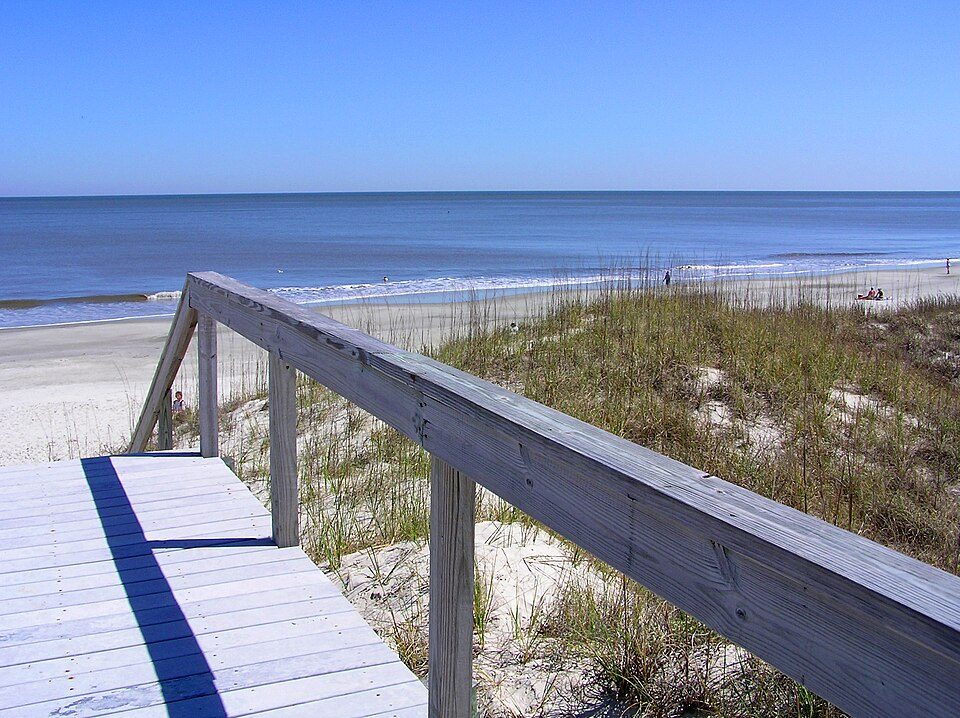
St. Simons lives by the ocean

Coastal flooding makes up 20% of the storm damage FEMA expects here.

20.8% of homes are seasonal or vacation homes, so the town is fuller in summer than its census count suggests.

20%of expected storm damage is coastal flooding
99thpercentile for coastal flood risk nationally
99paid flood-insurance claims since 2016
2storm & flood disasters paid out here
On the water

FEMA National Risk Index · OpenFEMA · OpenStreetMap

How St. Simons grades

Each subject compared with towns across the country (schools within Georgia), ordered by how far St. Simons is from typical.

How grading works
Character Graded, but not part of the overall grade.
Described, not graded Taste, not quality: snow or an older crowd is neither good nor bad.

How TownRatings grades towns →

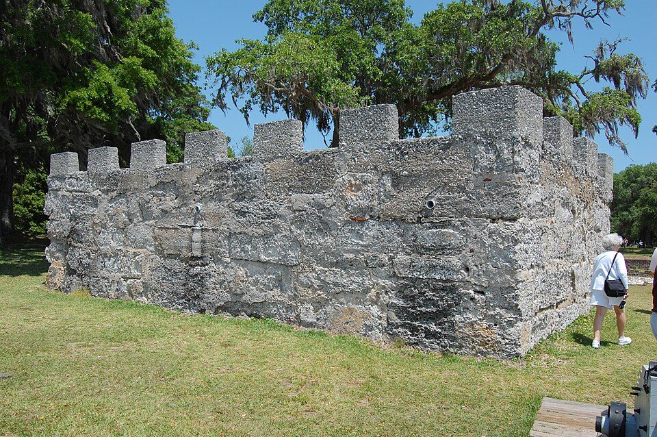
Strachan House Garage
Strachan House Garage · National Register of Historic Places
St. Simons’s story

St. Simons in pictures

Census counts: 1,706 in 1950, 14,982 in 2020. The archive holds 1 old photo or paper and 5 maps from 1945 on.

2 places on the National Register of Historic Places.

Explore the history →
Getting set up

Moving to St. Simons: who provides what

St. Simons is unincorporated, so Glynn County and regional agencies provide most services.

PowerGeorgia Power16.3¢/kWh · EIA 2025HIFLD · EIA
WaterSt. Simons Island water systemNo health-based violations in 5 years · EPAEPA
Internet5 providers100% of addresses get 100/20 MbpsFCC
Trash & county servicesGlynn CountyGlynn County provides services here
SchoolsGlynn County School DistrictWhich school depends on your addressNCES
Register to voteOnlineIn Georgia you can register online until 29 days before Election Day, in person until 29 days before Election Day, or by mail (postmarked 29 days before).vote.gov
Who runs elections hereGlynn County Board of Elections and Voter RegistrationGlynn County; contacts on the Handbook page.FVAP, Sep 2026
ZIP code3152231522 100%Census 2020

EPA SDWIS (Oct 9, 2026) · HIFLD + EIA-861 2025 · Census 2020 ZCTAs · NCES 2024–25 · registration: vote.gov, updated Nov 18, 2024.

The data

Ordered by what stands out in St. Simons.

St. Simons has a longer frost-free season than nearly all U.S. towns, but it carries more natural-hazard risk than most of Georgia (mostly hurricanes) and is a long drive from an emergency room.

OutdoorsB−

Open space protected for good: 1.3% of St. Simons

The density of trails in St. Simons is 0.9 miles per square mile. Walkers can cover 16 miles of trail in 9 parks and preserves. Parks and preserves in the town: 9, covering 86 acres.

#29for trails in GA
St. SimonsGeorgia townsU.S. towns
Miles of trail per square mile0.9 miles per square mile0.30.4
Conserved land1.3%2.3%4.3%
1.3%
conserved · 144 of 11,165 acres
16 mi
of trails · 0.9 per sq mi
Biggest places to walkTrailsAcres
1. Coast Guard/East Beach0.3 mi7
2. The John Gilbert Nature Trail at Frederica Marsh0.2 mi29
3. Gascoigne Bluff Park—19

Trails & parks © OpenStreetMap contributors · Conserved land: USGS PAD-US

SchoolsA−

On state tests, St. Simons’ schools beat 75% of Georgia districts

Its public schools are run by the Glynn County school district. Below: Two of its 3 schools, each with why it was picked. 462 students attend St. Simons’s public school.

75%of GA districts it outscoresA−School Grade
SchoolLevelStudentsLetter
St. Simons Elementary SchoolLargest public elementary schoolGrades PK–5Grades PK–5462A
Frederica Academy PrivateLargest high schoolGrades PK–12Grades PK–12464–

NCES · EDFacts · graded within GA on state tests and graduation

HealthA

Compared with most of Georgia and the rest of the country, fewer of St. Simons’ adults report frequent mental distress

The nearest emergency room, Southeast Georgia Health System -- Camden Campus, is 30.8 miles away in a straight line.

For adults in St. Simons, the share who have obesity is 29%. Only one of the 261 Georgia towns we compare has a lower share of adults who feel lonely than St. Simons. The town does better than the Georgia average on 19 of 32 CDC measures and worse on 5.

87%healthier than U.S. townsAHealth Grade
St. SimonsGeorgia townsU.S. towns
Frequent mental distress (CDC PLACES)12%19%17%
Feel lonely (CDC PLACES)29%39%33%
Food insecurity (CDC PLACES)6.2%22%14%
Sleep under 7 hours (CDC PLACES)32%40%36%
32 measures vs. Georgia
19 better8 too close to call5 worse
What stands outSt. SimonsGA
Fewer adults facing food insecurity6.2%17.7%
Fewer adults facing a utility shut-off3.5%9.6%
More adults who have had cancer13.4%7%
Southeast Georgia Health System -- Camden Campus
30.8 mi away · emergency room
3 of 3
care shortages: primary care, dental, mental health
92nd
percentile among GA towns

CDC PLACES 2025 · modeled estimates for adults · CMS · HRSA

Natural hazardsHazard risk grade D

Top of a high hazard risk in St. Simons: hurricanes

FEMA rates its natural-hazard risk higher than 91% of Georgia towns, with expected losses of about $453 per resident a year; that rating is what its D for hazard risk is built on.

St. Simons has had 99 paid flood insurance claims since 2016. For St. Simons, the natural-hazard score from FEMA is 79 of 100. Households in the town have drawn federal disaster aid in 2 declared disasters, most recently in 2017. FEMA puts 48% of the town’s expected hazard losses down to hurricanes, and 20% to coastal flooding.

79risk score of 100
FEMA risk score
79High riskLowerHigher
HurricanesCoastal floodingInland flooding
99
paid flood claims since 2016
2
federal disasters paid out here

FEMA flood insurance claims · FEMA disaster declarations and aid · FEMA National Risk Index · OpenFEMA

Climate

A typical January night in St. Simons is milder than in the typical Georgia or U.S. town

The Brunswick Malcolm Mckinnon Ap weather station records that the frost-free season runs about 312 days, longer than in 95% of U.S. towns. January nights average 43.3°, milder than in 96% of U.S. towns; July afternoons average 91.3°.

St. Simons’ typical July afternoon high is 91°F. Snow is a rarity. It has warm winters and warm summers, with plenty of rain.

91°summer high
St. SimonsGeorgia townsU.S. towns
January low43°F33°F22°F
July high91°F90°F85°F

Typical low → high °F

Winter45–64°
Spring59–77°
Summer74–90°
Fall62–79°
Dec 26
typical first frost
Feb 9
typical last frost
+0.9°
vs. the 20th-century average
91°
typical summer high

NOAA U.S. Climate Normals, 1991–2020

Work & commuteJobs & income grade A−

About one in three working residents works right in St. Simons

St. Simons has about as many jobs (5,740) as working residents, but only 1,454 people both live and work here. The average commute takes 17.5 minutes, against 28.3 across Georgia.

Jobs in St. Simons grew by 1,070 from 2013 to 2023, reaching 5,740. 30% of St. Simons working residents work locally. Half commute less than 7 miles. The typical journey to work for St. Simons comes to 18 minutes.

30%work in town
St. SimonsGeorgia townsU.S. towns
Working residents who work in town30%9%8%
Average trip to work18 minutes26 minutes25 minutes
Median household income$109,000$63,000$80,000
Below the poverty line4.5%15%9.6%

Where working residents work

In St. Simons30%
Brunswick20%
Dock Junction4%
Jacksonville3%
Savannah3%
7 mi
median commute distance
5,740
jobs based in St. Simons
Balanced
jobs vs. working residents
B
Walkability grade: more walkable than 57% of U.S. towns

Census LEHD 2023 · ACS

HousingCost of living grade D

The median home in St. Simons sells for about $630K

At 8.3 years of the Brunswick metro’s $67K median household income, the typical home costs more against local pay than in 98% of Georgia towns; that ratio is one input to its D for cost of living.

The share of households in St. Simons who live in a home they own: 86%. St. Simons’ midpoint rent comes in at $1,799 a month. A home in St. Simons typically sold within 42 days of listing.

$630Kmedian sale price
St. SimonsGeorgia townsU.S. towns
Households that own their home86%58%73%
Median rent$1,799 a month$1,152 a month$1,185 a month
Market temperature
BalancedA balanced marketBuyer’sSeller’s
42
days on market
96.4%
sale-to-list price
56
homes sold in May

Census ACS, 2020–24 · Zillow Home Value Index · Redfin Data Center

Nearby attractions

Jekyll Island and 8 more within 40 miles

Museums, parks, gardens and other places to visit around St. Simons. Close and well known come first.

All 18 attractions →
Sources: National Park Service · ski areas © OpenSkiMap / OpenStreetMap contributors · Wikidata · Wikipedia readership · photos via Wikimedia Commons
Photo credits

Jekyll Island: normanack on Flickr, CC BY 2.0 · Igbo Landing Historic Site: Jud McCranie, CC BY-SA 4.0 · Fort Frederica National Monument: Bubba73 (talk), Jud McCranie, CC BY-SA 3.0 · Cumberland Island National Seashore: The original uploader was Pgabolde at English Wikipedia., CC BY-SA 3.0 · Fort Clinch: Fl295 at English Wikipedia, Public domain

Keep exploring

Everything we know about St. Simons

18pages on St. Simons
After high school

Colleges nearby

1 within 15 miles of the center of St. Simons

A growing town

St. Simons has grown 18% from 2010 to 2020

12,743 counted in 2010 and 14,982 in 2020.

12,7432010
14,9822020

U.S. Census 2010 & 2020 counts

Landmarks

2 places in St. Simons on the National Register of Historic Places.

All landmarks →

Famous people from St. Simons

6 notable people were born in St. Simons.

See all 6 →

About St. Simons

Place in Georgia, United States

St. Simons Island (SSI or just St. Simons) is a barrier island and census-designated place (CDP) located on St. Simons Island in Glynn County, Georgia, United States. The names of the community and the island are interchangeable, known simply as "St. Simons Island" or "SSI", or locally as "The Island". St. Simons is part of the Brunswick metropolitan statistical area, and according to the 2020 U.S. census, the CDP had a population of 14,982. Located on the southeast Georgia coast, midway between Savannah and Jacksonville, St. Simons Island is both a seaside resort and residential community. It is the largest of Georgia's Golden Isles (along with Sea Island, Jekyll Island, and privately owne…

From Wikipedia, licensed CC BY-SA 4.0 · facts via Wikidata (CC0)

Area
17 sq mi
Elevation
10 ft
ZIP code
31522
Area code
912

Questions about St. Simons

Short answers, built from the data on this page.

Is St. Simons, GA a good place to live?

For most people who can afford it, yes. St. Simons grades B overall, better than 59% of U.S. towns and #57 of 258 in Georgia. It grades A for health and A− for schools. Cost of living is its weak spot, with a D.

Is St. Simons, GA expensive?

Yes. The typical home is worth about $556,000, 69% above the Georgia typical home.

What is St. Simons, GA known for?

St. Simons has 2 places on the National Register of Historic Places. 6 notable people were born here, including Jim Brown and Morgan Gautrat.