122 years in pictures
The archive holds 1 old photo or paper going back to 1923 and 3 maps from 1964 on.
- 1904Milstead is settled
Each edition grades its towns against each other only.
A town of 689, settled in 1904.
Milstead has fewer than 1,000 residents, too few for fair grades; the figures below are still real.
In a town this size, neighbors are the best guide. Ask them anything.

The archive holds 1 old photo or paper going back to 1923 and 3 maps from 1964 on.
Milstead is unincorporated, so Rockdale County and regional agencies provide most services.
EPA SDWIS (Oct 9, 2026) · HIFLD + EIA-861 2025 · Census 2020 ZCTAs · NCES 2024–25 · registration: vote.gov, updated Nov 18, 2024.
Ordered by what stands out in Milstead.
In Milstead, 29% of residents live below the poverty line, above both Georgia’s towns (15%) and U.S. towns (9.6%). The mean commuting time for Milstead comes to 19 minutes. Jobs in Milstead grew by 72 from 2013 to 2023, reaching 159. The top destinations are Atlanta (14%), Conyers (9%) and Sandy Springs (4%).
| Milstead | Georgia towns | U.S. towns | |
|---|---|---|---|
| Below the poverty line | 29% | 15% | 9.6% |
| Average trip to work | 19 minutes | 26 minutes | 25 minutes |
| Median household income | $54,000 | $63,000 | $80,000 |
Census LEHD 2023 · ACS
In July, afternoons reach 90°; in January, nights fall to 33°, and about 1 inches of snow falls in a winter.
NOAA U.S. Climate Normals, 1991–2020
Milstead beats the Georgia average on 1 of 32 CDC measures and trails it on 1. In Milstead, 13% of adults 18 to 64 have no health insurance, where Georgia’s towns sit at 14% and U.S. towns at 8.1%. Also worth knowing: the share of adults in Milstead who feel lonely: 36%.
| Milstead | Georgia towns | U.S. towns | |
|---|---|---|---|
| Diabetes (CDC PLACES) | 15% | 14% | 12% |
| Feel lonely (CDC PLACES) | 36% | 39% | 33% |
| High blood pressure (CDC PLACES) | 39% | 38% | 35% |
| No health insurance, 18–64 (CDC PLACES) | 13% | 14% | 8.1% |
| What stands out | Milstead | GA |
|---|---|---|
| Fewer older adults who have lost all their teeth | 10.8% | 14.5% |
| More adults who have had cancer | 7.8% | 7% |
CDC PLACES 2025 · modeled estimates for adults · CMS · HRSA
Storm and flood damage is expected to run lower than in 51% of U.S. communities. Expected losses in Milstead break down as 62% from inland flooding and 15% from tornadoes.
FEMA National Risk Index · OpenFEMA
Among households in Milstead, 77% are owner-occupiers.
Census ACS, 2020–24 · Zillow Home Value Index · Redfin Data Center
Museums, parks, gardens and other places to visit around Milstead. Close and well known come first.
Big draw12 mi MountainStone Mountain
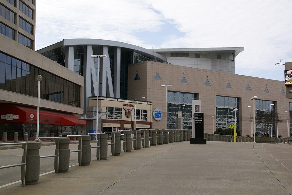
Big draw24 mi Stadium & arenaMercedes-Benz Stadium
Big draw24 mi Stadium & arenaState Farm Arena
24 mi Zoo & aquariumGeorgia Aquarium
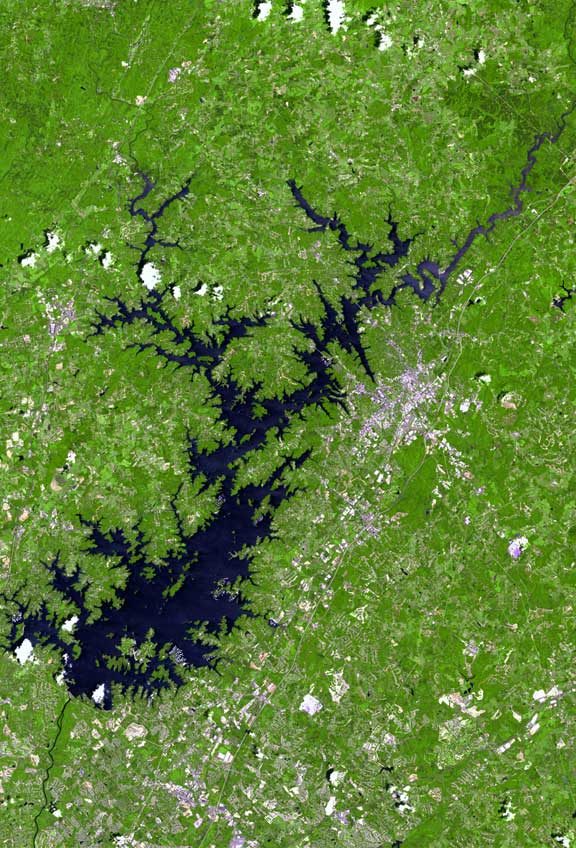
Big draw38 mi LakeLake Lanier
Big draw33 mi Theme parkSix Flags Over GeorgiaStone Mountain: KyleAndMelissa22, Public domain · Mercedes-Benz Stadium: Atlanta Falcons, CC BY 3.0 · State Farm Arena: Hermann Luyken, CC0 · Georgia Aquarium: Diliff, CC BY 2.5 · Lake Lanier: http://www.terraprints.com, CC BY 2.5 · Six Flags Over Georgia: hagerman, CC BY 2.0
3 within 15 miles of the center of Milstead
About 2 of every 100 Milstead residents are enrolled in college, against 6 across Georgia.
Where Milstead’s working residents go each day. Line width shows the share.
Census LEHD 2023
Place in Georgia, United States
Milstead is an unincorporated community and census-designated place (CDP) in Rockdale County, Georgia, United States. It is bordered to the south by the city of Conyers, the county seat, and to the north by the Yellow River. The 2020 census listed a population of 628.
From Wikipedia, licensed CC BY-SA 4.0 · facts via Wikidata (CC0)
Short answers, built from the data on this page.
Milstead has fewer than 1,000 residents, too few for fair grades; the figures below are still real.