
The story so far
Augusta, in brief
Wikipedia doesn’t have a history of Augusta yet. The photos, dates and memories neighbors add here are how it gets written.
Between the 2010 and 2020 censuses its population grew from 200,549 to 206,607 (+3%).
Each edition grades its towns against each other only.
More historic than 75% of U.S. towns · #49 of 263 in Georgia. What drives it
Most of Augusta was built recently: 7% of its homes predate 1940 and the median home dates from 1980. Below: maps from 1965 on and old-book passages.
More historic than 75% of U.S. towns, on its age, its old homes and the National Register.
On its age, its old homes and the National Register, Augusta is more historic than 75% of U.S. towns, #49 of 263 in Georgia. Its National Register listings hold the grade up; its share of homes from before 1940 pulls it down.
Among the 400 U.S. cities of 100,000 or more, Augusta ranks #146 on History.
Georgia towns list more on the Register than most of the country (a typical Georgia town has 10.0 per 10,000 residents, the U.S. 2.4), so Augusta’s 285 sits above most of its state (83% of Georgia towns have fewer) while its 5,866 historic buildings outnumber those of 100% of U.S. towns.
Founding year: our sources. Homes: Census ACS 2020–24. National Register: National Park Service, May 2026 list; each listing counted once (boundary changes and added documentation belong to their listing), and a historic district counts its contributing buildings. How TownRatings grades history →
Read from the archive, the National Register and the record. The page puts what stands out first.
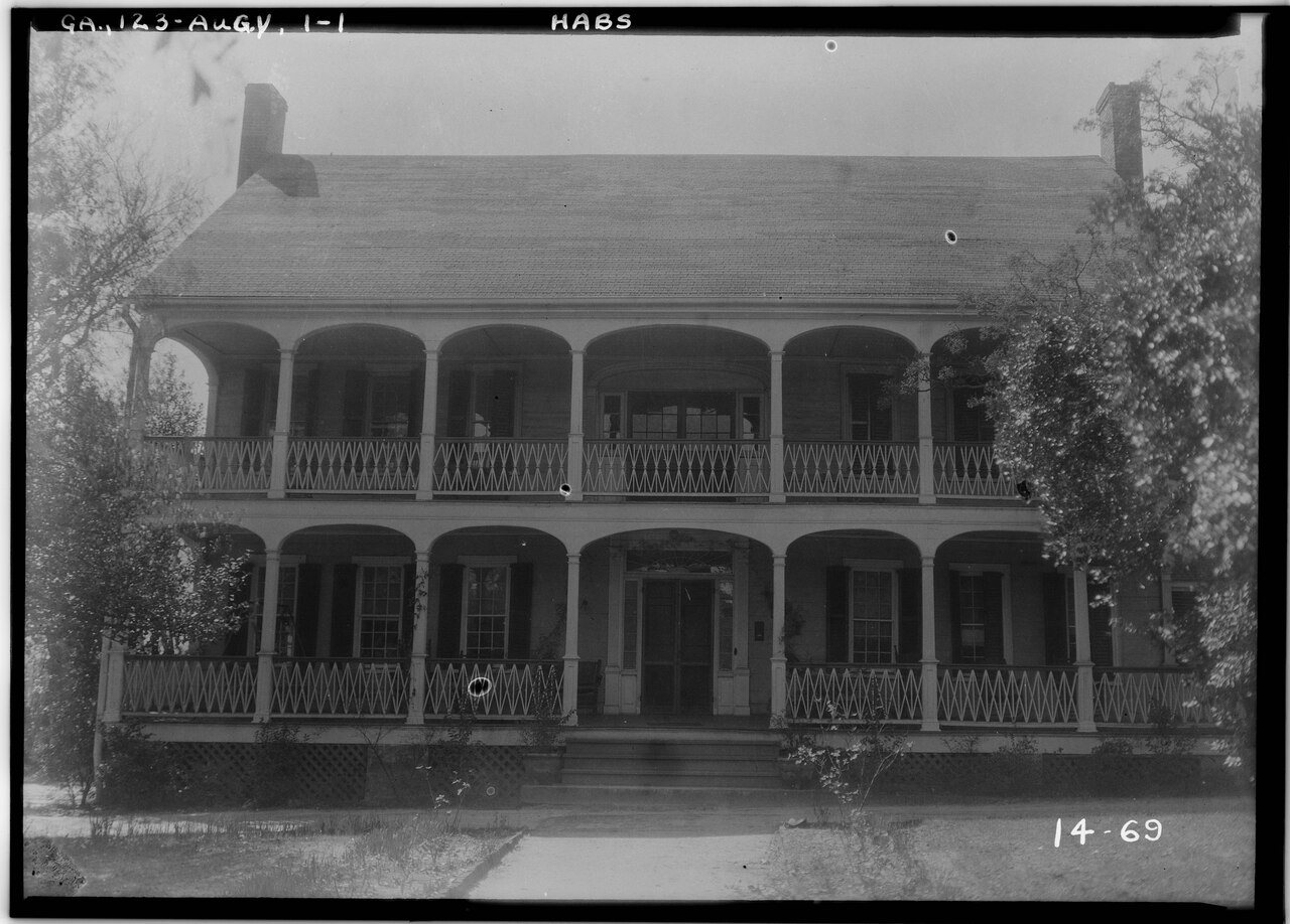
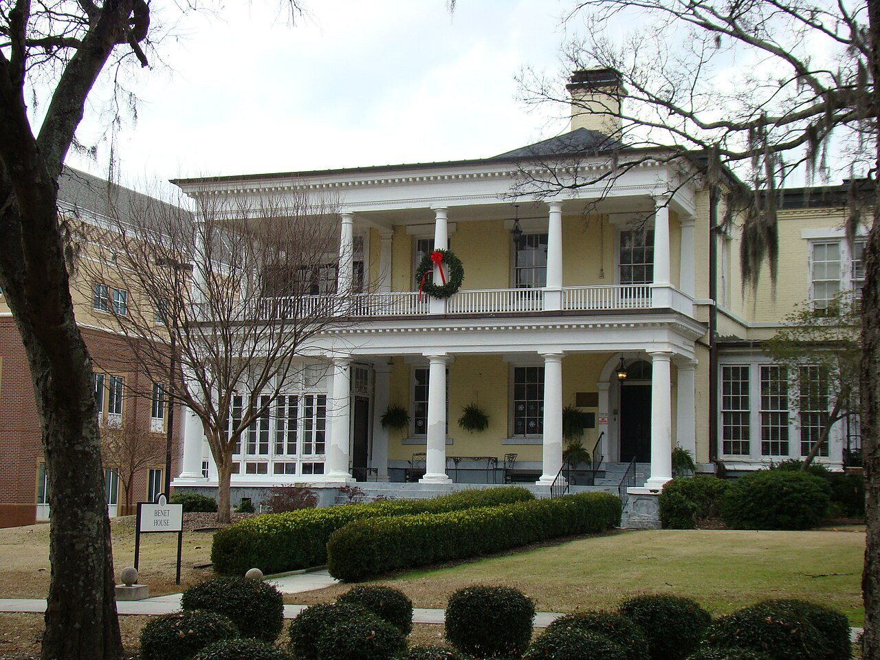
The country’s official list of buildings and places worth saving. 6 are National Historic Landmarks, the highest tier. Boundary changes and added documentation are counted with their listing.
 ★ Landmark
 ★ Landmark
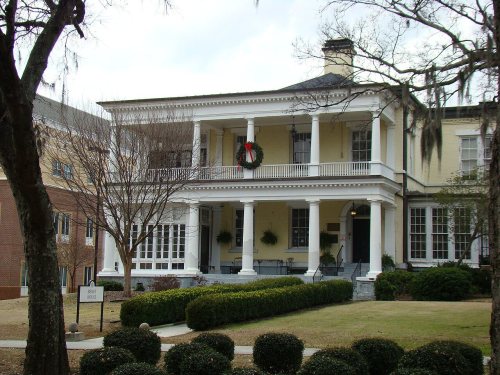 ★ Landmark
 ★ Landmark
 ★ Landmark
 ★ Landmark

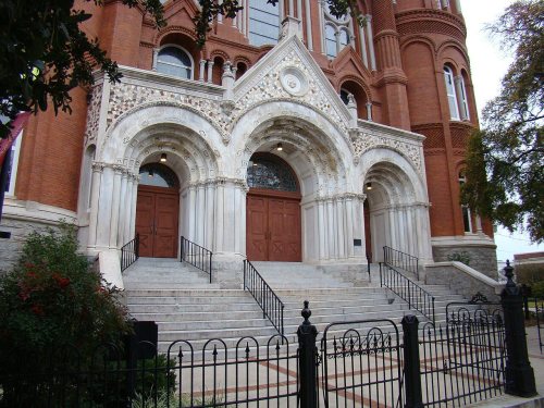
National Park Service, National Register of Historic Places. Photos from Wikimedia Commons, credited on each place’s page.
Augusta’s post office has been open since 1793. 10 other post offices opened and closed inside today’s town.
Atkins - Winter Cemetery · Bath Cemetery · Brandon Cemetery · Burch Cemetery · Burch Cemetery · Burton Cemetery · Carmichael Cemetery · Cedar Grove Cemetery · Chavous Cemetery · Clanton Cemetery · Cosnahan Cemetery · Crockett Cemetery · Darling Cemetery · Doyle Cemetery · Fulcher Cemetery · Fulcher Cemetery · Gracewood Cemetery · Hillcrest Memorial Park · Inglett Cemetery · Johnson Cemetery · Killebrew Cemetery · Leitner Cemetery · Magnolia Cemetery · Morgan Cemetery · Mount Olive Memorial Gardens Cemetery · Mount Pleasant Cemetery · Newmen Cemetery · Rachels Cemetery · Rober Cemetery · Saxon Cemetery · Schley Cemetery · South View Cemetery · Steadman Cemetery · Summerville Cemetery · Tarver Cemetery · Tinley Cemetery · Twiggs Cemetery · Union Cemetery · Walker Cemetery · Walker Memorial Park · West View Cemetery · Westover Memorial Park · World War Two German Prisoner of War Cemetery
US Post Offices dataset (Blevins & Helbock, CC0). Places and cemeteries from the USGS Geographic Names Information System (2021).
Wikipedia doesn’t have a history of Augusta yet. The photos, dates and memories neighbors add here are how it gets written.
Between the 2010 and 2020 censuses its population grew from 200,549 to 206,607 (+3%).
Passages that mention Augusta, cut from the printed page as they were published.

In 1838 a railroad company named the Augusta and Waynesboro Railroad was incorporated to construct and operate a railroad " from the city of Augusta to Waynesboro, and thence to some suitable and proper point of junction with the Central Railroad." The Augusta and Waynesboro Railroad was given a perpetual charter and empowered to rent or farm out its franchises to any individual or company. In 1847 its charter was so amended as to allow it to begin construction of its line of road at any point on the line of the Central in Burke county, and thence proceed to Waynesboro, and thence to Au-
Text read by machine from the scan; it may contain errors.
The other ante bcllinn banks of Augusta were the Augusta Savings Bank incorporated in 1827; the Augusta Insiu-ance and Banking Company, also incorporated in 1827; the Merchants and Planters Bank also in 1827 ; the Mechanics' Bank, in 1830; the Union Bank, originally incorporated in 1836 as the Bank of Brunswick ; the Peoples Savings Bank of Augusta, in 1851; the City Bank, in 1854; and the Augusta Savings Bank, in 1855. At the outbreak of the war there were in operation, the Bank of Augusta; the Augusta Insurance and Banking Company; the Mechanics' Bank; the Union Bank; and
Text read by machine from the scan; it may contain errors.Scans and text from the Internet Archive. Books published in 1930 or earlier, which are in the public domain.
Woven from the archive, old maps, post office records, the National Register and the people born here.
BuiltCollege Hill is built BuiltAcademy of Richmond County is built
 BuiltGertrude Herbert Art Institute is built
 BuiltLamar Building is built
 On the mapFirst mapped by the U.S. Geological Survey
Weddings on Main Street, storms, parades, school pictures, the old store. If it’s in your family album, it belongs here.
Every edition of the U.S. Geological Survey’s map of Augusta. Tap a year, or press play to watch the town change.

U.S. Geological Survey historical topographic maps (public domain), via Esri’s collection of the scans. The red ring marks the center of Augusta.
The first neighbors to add old photos shape how Augusta’s history is told.
Each neighbor’s History grade, on the same three inputs.
Augusta is more historic than 75% of U.S. towns, #49 of 263 in Georgia. The History grade combines the town’s founding era, the share of homes built before 1940 and its National Register listings. It’s a character grade, so it isn’t part of the overall grade. How it works.
50 listings, 6 of them National Historic Landmarks: 34 buildings, among them the Harris-Pearson-Walker House (listed 1969, the first), and 16 historic districts with 5,821 contributing buildings. 5,866 historic buildings in all.
7% of Augusta’s homes were built before 1940 (Census estimate), against a typical 3.8% for a Georgia town; the median home was built in 1980.
What the archives can’t tell you, neighbors can.
Founding dates: Wikidata, Wikipedia, the U.S. post office records of Blevins & Helbock (CC0) and the Census. Homes by year built: Census ACS 2020–24. National Register of Historic Places: National Park Service (list of May 22, 2026). Old photos, postcards and papers: Wikimedia Commons, the Library of Congress and other public archives, credited on each item’s page. Maps: U.S. Geological Survey historical topographic maps (via Esri) and Sanborn fire-insurance maps (Library of Congress). History text and census tables: Wikipedia (CC BY-SA 4.0). Places that used to be: USGS Geographic Names Information System (2021).
From the National Register of Historic Places (50), U.S. Geological Survey historical maps, the US Post Offices dataset (Blevins & Helbock), the USGS Geographic Names Information System and old county and town histories (Internet Archive). Archive images are copied here with their credits and licenses, shown on each photo’s page. Refreshed monthly.

