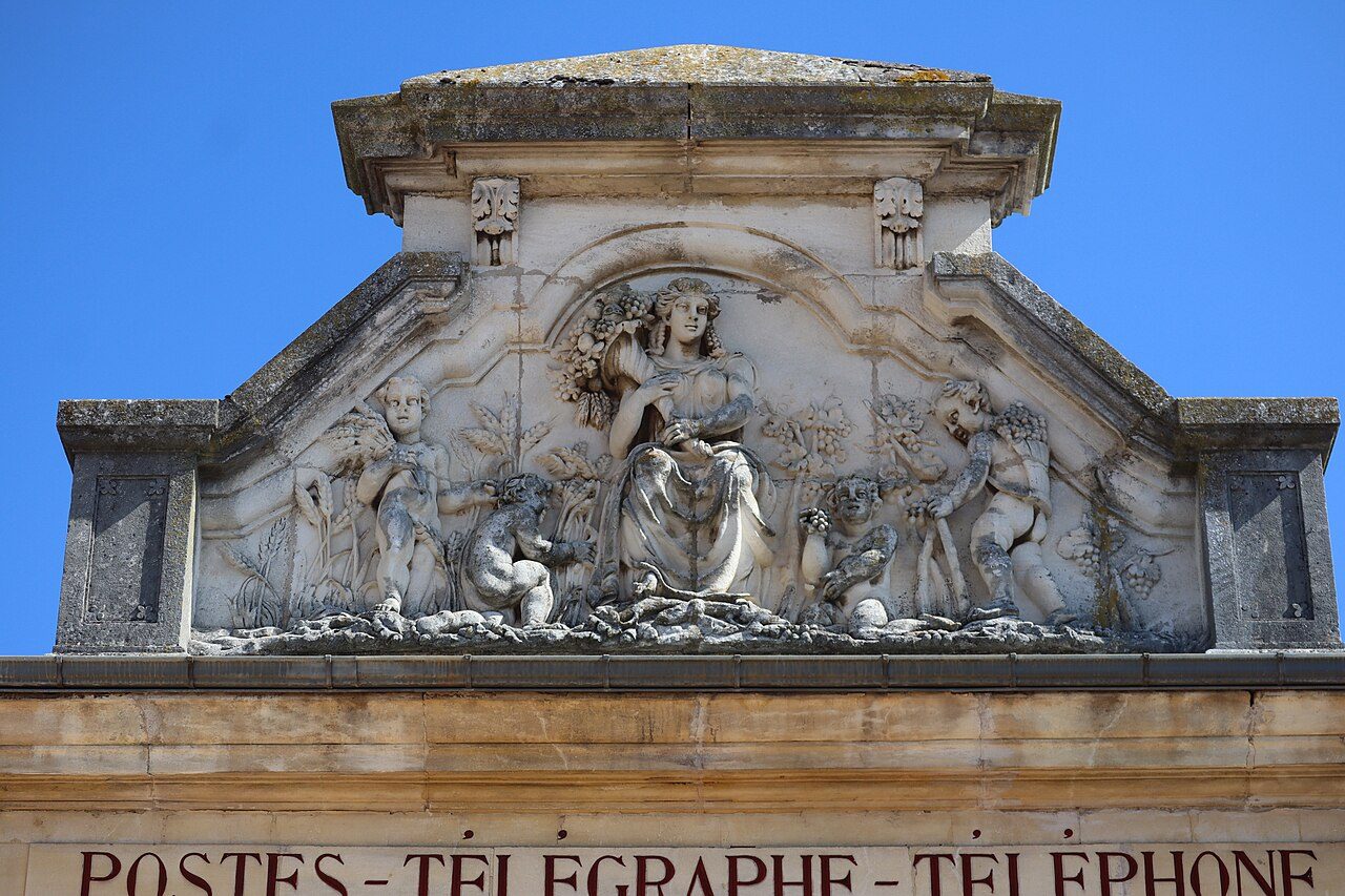
 Photo: GO69 · CC BY-SA 4.0
Above-normal warmth for November in Givry today, 15 degrees
A typical November day reaches 10°C (51°F) and drops to 3°C (37°F) at night: the forecast for Givry is set against that. Expect no rain today, only a light breath of wind up to 15 km/h, and a low of 10°C (50°F). Thursday stands out as the wet day ahead, with roughly 19 mm.
The next 24 hours in Givry
Look for 15°C around 15:00 and 9°C around 01:00. Wettest around 12:00 (1.8 mm in the hour).
The week ahead, against a normal week
A mix: some days above normal, some below. Tap a day for more.
TodayNov 11Mostly sunnydry10°15°+4°
Wednesday November 11: Mostly sunny, a high of 15°C (60°F) and a low of 10°C (50°F); no rain expected; wind up to 15 km/h.
A normal November 11 at the Chalon-Champfo station: high 11°C, low 3°C.
TomorrowNov 12Heavy rain18.8 mm rain7°11°normal
Thursday November 12: Heavy rain, a high of 11°C (53°F) and a low of 7°C (45°F); 18.8 mm of rain; wind up to 26 km/h.
A normal November 12 at the Chalon-Champfo station: high 11°C, low 3°C.
FriNov 13Sunny0.2 mm rain3°9°−2°
Friday November 13: Sunny, a high of 9°C (48°F) and a low of 3°C (38°F); 0.2 mm of rain; wind up to 24 km/h.
A normal November 13 at the Chalon-Champfo station: high 11°C, low 3°C.
SatNov 14Mostly sunnydry0°7°−4°
Saturday November 14: Mostly sunny, a high of 7°C (45°F) and a low of 0°C (31°F); no rain expected; wind up to 17 km/h.
A normal November 14 at the Chalon-Champfo station: high 11°C, low 3°C.
SunNov 15Rain10.3 mm rain7°12°+2°
Sunday November 15: Rain, a high of 12°C (54°F) and a low of 7°C (44°F); 10.3 mm of rain; wind up to 15 km/h.
A normal November 15 at the Chalon-Champfo station: high 10°C, low 3°C.
MonNov 16Partly cloudy3.2 mm rain8°12°+2°
Monday November 16: Partly cloudy, a high of 12°C (54°F) and a low of 8°C (46°F); 3.2 mm of rain; wind up to 17 km/h.
A normal November 16 at the Chalon-Champfo station: high 10°C, low 3°C.
TueNov 17Heavy rain11.7 mm rain6°12°+2°
Tuesday November 17: Heavy rain, a high of 12°C (53°F) and a low of 6°C (43°F); 11.7 mm of rain; wind up to 24 km/h.
A normal November 17 at the Chalon-Champfo station: high 10°C, low 3°C.
Warnings and more
This page doesn’t repeat official warnings: check Météo-France’s vigilance map before traveling in bad weather.
Forecast: Data from MET Norway (Norwegian Meteorological Institute), CC BY 4.0; temperatures converted to °F,, wind in km/h and times in French time by us, fetched November 11, 14:42. Normals: Météo-France 1991–2020 climate normals for its Chalon-Champfo station (187 m), 8.2 km from the town (219 m), Licence Ouverte 2.0. Sunrise and sunset are calculated from the town’s position.
Contains public sector information under the Licence Ouverte / Open Licence 2.0 (Etalab): INSEE, DGFiP, the Interior Ministry’s statistics service (SSMSI), the Ministry of Education (DEPP), the Health Ministry’s statistics service (DREES) and the Housing Ministry (Carte des loyers). Commune boundaries: IGN Admin Express.