Église Saint-Pierre-de-Rhèdes de Lamalou-les-Bains
Church located in Hérault, in France.
Each edition grades its towns against each other only.
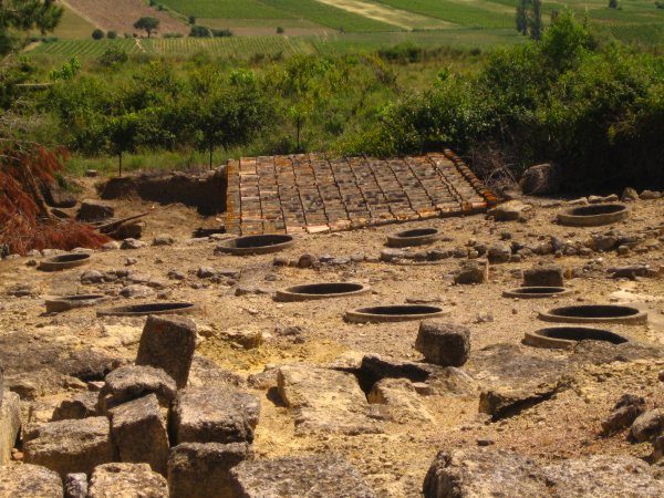
Châteaux or heritage sites make up 4 of the 7 places on the list. All of them lie outside Le Poujol-sur-Orb. Cathédrale Saint-Nazaire-et-Saint-Celse de Béziers is worth a day, 29 km from the centre.
Once you have seen Église Saint-Pierre-de-Rhèdes de Lamalou-les-Bains, try a fort, a museum and an attraction.
Best known first: by how many Wikipedia and sister-site articles cover each place (Wikidata’s count). It isn’t a ranking of how good they are.
Château de Colombières sur Orb, 5 km away, is the farthest on the map.
The first 20 on the list, numbered as below. The shape is the commune of Le Poujol-sur-Orb; the orange dot is its centre. © OpenStreetMap contributors · commune boundary: IGN
Châteaux or heritage sites number 4, other sights 2.
Dark: in Le Poujol-sur-Orb. Light: in the communes within 5 km of its centre.
Here are the 7 places within 5 km of its centre.
Church located in Hérault, in France.
Medieval fortified village in ruins at Les Aires (Hérault, France).
Chapel located in Hérault, in France.
Nothing is mapped in Le Poujol-sur-Orb itself; these are within 5 km of its centre.
The history of Le Poujol-sur-Orb → · Parks and trails in Le Poujol-sur-Orb →
Leading the 12 is Cathédrale Saint-Nazaire-et-Saint-Celse de Béziers, 29 km away; they include 5 attractions and 2 cathedrals.
 AttractionOppidum d'Ensérune30 km south, in Nissan-lez-EnseruneCathedralCathedralCathédrale Saint-Fulcran de Lodève27 km northeast, in LodèveCathedralCathedralCathédrale Saint-Pons de Saint-Pons-de-Thomières26 km west, in Saint-Pons-de-ThomièresAttractionAttractionPont du Diable6.7 km northeast, in Villemagne-l'ArgentièreAttractionAttractionÉcluses de Fonseranes30 km south, in Béziers
 Art galleryMusée des Beaux-Arts de Béziers29 km southeast, in BéziersAttractionAttractionPrieuré Saint-Michel de Grandmont30 km northeast, in Saint-PrivatChâteauChâteauChâteau de Roquessels13 km east, in RoquesselsMonastery or conventMonastery or conventLérab Ling29 km northeast, in RoqueredondeMonastery or conventMonastery or conventAbbaye de Cassan20 km southeast, in RoujanArchaeological siteArchaeological siteDolmen de Gallardet36 km east, in Le Pouget
Places within 40 km of Le Poujol-sur-Orb with an article in both French and English Wikipedia, nearest first.
Nothing is mapped in Le Poujol-sur-Orb itself, but within 5 km there are Église Saint-Pierre-de-Rhèdes de Lamalou-les-Bains, Castrum de Mourcairol, Musée de la cloche et de sonnaille and Gorges de Colombières.
One, in town or within 5 km: Musée de la cloche et de sonnaille.
The nearest with articles in both French and English Wikipedia: Cathédrale Saint-Nazaire-et-Saint-Celse de Béziers (29 km), Oppidum d'Ensérune (30 km), Cathédrale Saint-Fulcran de Lodève (27 km), Cathédrale Saint-Pons de Saint-Pons-de-Thomières (26 km).
From OpenStreetMap and Wikidata: named museums, galleries, châteaux, abbeys, gardens, zoos, theme parks and other visitor attractions whose mapped point lies inside the commune of Le Poujol-sur-Orb, then those in the communes within 5 km of its centre, and well-known places within 40 km. Houses, ruins and gardens need a sign they’re open to visitors; places marked private, closed or disused are left out. The historic-monument link is the Culture ministry’s Mérimée record. A place that isn’t mapped isn’t listed, so this isn’t everything there is to see.
Sources: OpenStreetMap (© OpenStreetMap contributors, ODbL), Wikidata (CC0: descriptions, websites, Wikipedia articles), the Culture ministry’s Mérimée database (Licence Ouverte 2.0), IGN commune boundaries. Distances are from the commune’s centre point.
Photos from Wikimedia Commons, each under its own licence (our copy, resized).
Contains public sector information under the Licence Ouverte / Open Licence 2.0 (Etalab): INSEE, DGFiP, the Interior Ministry’s statistics service (SSMSI), the Ministry of Education (DEPP), the Health Ministry’s statistics service (DREES) and the Housing Ministry (Carte des loyers). Commune boundaries: IGN Admin Express.