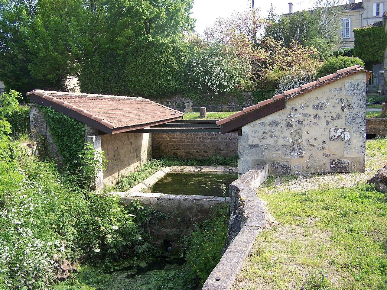
 Photo: Henry SALOMÉ · CC BY-SA 4.0
Parks, woods and footpaths in Portets
32% of Portets is mapped woodland. Footpaths add up to 6 km across Portets (0.4 km per km²). 5.9% of Portets’ land lies in protected areas. France has no Outdoors Grade yet: these are the figures, each beside the compared towns’ median.
Throughout this page, the Gironde median and the France median are the median of compared communes (those with an overall grade), each figure its own median.
What kind of outdoors place is Portets?
Read from the data: what stands out first, good and less good.
What sets Portets apart: its woods. It is shorter on footpaths.
How Portets compares with French towns
Each figure against the 3,798 compared French towns (communes with an overall grade): the marked bar is the town’s, the line the median. Described, not graded.
Percentiles among compared French towns; ties count half.
Portets has the 7th fewest footpaths per km² of 41 towns its size
The 40 compared French towns nearest in population (2,593 to 2,641 residents), by km of footpath per km². Hover for each one’s protected land and woods; click for its page.
From Couzon-au-Mont-d'Or (7.2 km per km²) to Hilsenheim (0 km per km²).
Every town in the comparison
| Town | Paths (km/km²) | Woodland | Protected | Coast | |
|---|---|---|---|---|---|
| 1 | Couzon-au-Mont-d'Or Rhône | 7.2 | 42% | 0% | 261 km |
| 2 | Gometz-le-Châtel Essonne | 2.5 | 24% | 0.2% | 155 km |
| 3 | Champlan Essonne | 2.2 | 14% | 0% | 161 km |
| 4 | Dorlisheim Bas-Rhin | 2.1 | 12% | 0% | 442 km |
| 5 | Tourville-la-Rivière Seine-Maritime | 2 | 15% | 15% | 55 km |
| 6 | Wahagnies Nord | 1.9 | 30% | 0% | 76 km |
| 7 | Coquelles Pas-de-Calais | 1.8 | 1.7% | 0.7% | 2.8 km |
| 8 | Le Bourg-d'Oisans Isère | 1.7 | 33% | 100% | 180 km |
| 9 | Hardricourt Yvelines | 1.6 | 15% | 0.4% | 118 km |
| 10 | Bourguébus Calvados | 1.5 | 1.1% | 0% | 18 km |
| 11 | Le Palais Morbihan | 1.5 | 5% | 26% | On it |
| 12 | Saint-Yorre Allier | 1.4 | 23% | 15% | 283 km |
| 13 | Longeville-sur-Mer Vendée | 1.3 | 18% | 100% | On it |
| 14 | Bessèges Gard | 1.3 | 66% | 100% | 81 km |
| 15 | Villenauxe-la-Grande Aube | 1.3 | 13% | 0% | 223 km |
| 16 | Foug Meurthe-et-Moselle | 1.3 | 73% | 1.2% | 342 km |
| 17 | Châteauneuf-en-Thymerais Eure-et-Loir | 1.2 | 57% | 62% | 115 km |
| 18 | Taden Côtes-d'Armor | 1.1 | 19% | 100% | 3.6 km |
| 19 | La Broque Bas-Rhin | 1.1 | 79% | 8% | 432 km |
| 20 | Vendres Hérault | 1 | 1.9% | 60% | On it |
| 21 | Ivry-la-Bataille Eure | 0.8 | 2.6% | 3.2% | 101 km |
| 22 | Villeneuve-Saint-Germain Aisne | 0.8 | 11% | 0% | 150 km |
| 23 | Grâces Côtes-d'Armor | 0.8 | 12% | 0% | 17 km |
| 24 | Villages du Lac de Paladru Isère | 0.8 | 21% | 0% | 230 km |
| 25 | La Calmette Gard | 0.7 | 29% | 0% | 43 km |
| 26 | Frelinghien Nord | 0.7 | 1% | 0% | 51 km |
| 27 | Soual Tarn | 0.6 | 1.4% | 0% | 95 km |
| 28 | Le Thoronet Var | 0.6 | 49% | 31% | 29 km |
| 29 | La Châtaigneraie Vendée | 0.6 | 4.5% | 0% | 48 km |
| 30 | Rieux-Volvestre Haute-Garonne | 0.6 | 6.6% | 7% | 154 km |
| 31 | Trélon Nord | 0.6 | 78% | 100% | 156 km |
| 32 | Toury Eure-et-Loir | 0.5 | 0.8% | 0% | 180 km |
| 33 | Beychac-et-Caillau Gironde | 0.4 | 16% | 4.7% | 22 km |
| 34 | Baldersheim Haut-Rhin | 0.4 | 63% | 60% | 446 km |
| 35 | Portets Gironde | 0.4 | 32% | 5.9% | 38 km |
| 36 | Noyers-sur-Cher Loir-et-Cher | 0.3 | 34% | 0.6% | 221 km |
| 37 | Charly-sur-Marne Aisne | 0.3 | 21% | 0% | 177 km |
| 38 | Clairac Lot-et-Garonne | 0.3 | 7.7% | 0% | 105 km |
| 39 | Haspres Nord | 0.2 | 1.8% | 0% | 111 km |
| 40 | Cauchy-à-la-Tour Pas-de-Calais | 0.1 | 0.4% | 0% | 54 km |
| 41 | Hilsenheim Bas-Rhin | 0 | 28% | 18% | 465 km |
Parks, woods, footpaths & countryside
Tap a number to zoom to a park or wood. Tap a layer to hide it. The dashed line is the commune’s boundary.
Parks and woods to walk in, in and around Portets
Named parks, gardens and woods in the commune or within 400 m, the biggest and best-pathed first: Jardin partagé leads, at 0.3 ha. Directions go to a point inside.
Source: © OpenStreetMap contributors (ODbL): named parks, gardens and woods; sizes are the whole site.
8 in 10 residents of Portets live within 800 m of a park or wood
Each square is 1 resident in 100: in green, those within 800 m, as the crow flies, of a mapped park, garden or woodland edge (INSEE’s 200 m population grid against OpenStreetMap).
Residents within 800 m of green space · share of residents
About 400 residents live further away. The distance is a straight line to the edge of a mapped park or wood, not a walk to a gate, and a wood can be private.
5.9% of Portets lies in protected areas
The protected areas reaching the commune, and the nearest: national parks, regional nature parks, nature reserves and Natura 2000 sites.
La Garonne en Nouvelle-Aquitaine
Share of the commune’s land
Designations overlap (a regional park can hold a Natura 2000 site), so the rows don’t add up; the first counts each piece of land once.
5.9% of Portets’ land is protected, more than in 66% of compared French towns; the median compared town in Gironde has 7.7%.
Source: INPN / PatriNat, protected areas July 2026, Natura 2000 December 2024; shares of IGN’s commune boundary.
6 km of footpaths cross Portets
Paths, bridleways, steps and tracks open on foot, and waymarked hiking routes, mapped on OpenStreetMap inside the commune; woods are mapped forest and woodland, private woods included.
Km per km² of the commune · mapped on OpenStreetMap
Share of the land · mapped woods and forest
That is less than in 91% of compared French towns for footpaths per km², and for woodland more than in 78% of compared French towns. Hiking routes often follow paths and lanes already counted, so the two lengths overlap: don’t add them.
A named hiking route within 2 km
Source: © OpenStreetMap contributors (ODbL), extracts of October 25, 2026 (Geofabrik).
The best walking months in Portets: April to September
Météo-France’s 1991–2020 normals at Cadaujac-Inrae, 13 km away, and the daylight at the town’s latitude. Outlined months have long days, highs of 15 to 30 °C and little rain for the place.
| Jan | Feb | Mar | Apr | May | Jun | Jul | Aug | Sep | Oct | Nov | Dec | |
|---|---|---|---|---|---|---|---|---|---|---|---|---|
| Daylight (h) | 9.2 | 10.4 | 11.8 | 13.4 | 14.8 | 15.6 | 15.2 | 14.0 | 12.4 | 10.9 | 9.5 | 8.8 |
| High (°C) | 11 | 12 | 16 | 18 | 22 | 26 | 28 | 28 | 25 | 20 | 14 | 11 |
| Rain (mm) | 87 | 65 | 61 | 76 | 75 | 72 | 51 | 64 | 76 | 79 | 112 | 101 |
July is the driest month (51 mm) and August the warmest (highs of 28 °C). 112 mm of rain falls in November, the wettest month. Frost comes on about 33 nights a year. The climate in Portets →
A garden to visit in Portets
Named gardens in the commune.
Source: © OpenStreetMap contributors (ODbL) and Wikidata.
Next to Portets
The nearest towns of 2,500 or more, colored by the share of their land in protected areas.
| Town | Protected | Woodland | Paths (km/km²) | Coast |
|---|---|---|---|---|
| Portets | 5.9% | 32% | 0.4 | 38 km |
| Castres-Gironde 2,695 · 2 km | 12% | 50% | 1 | 37 km |
| Saint-Selve 3,746 · 5.2 km | 5.6% | 65% | 1.3 | 39 km |
| Podensac 3,269 · 6.6 km | 4.6% | 14% | 0.5 | 44 km |
| Saint-Caprais-de-Bordeaux 3,450 · 7 km | 0% | 29% | 0.6 | 31 km |
| Saint-Médard-d'Eyrans 3,409 · 7.6 km | 36% | 29% | 0.2 | 33 km |
| La Brède 4,386 · 8.2 km | 6.5% | 46% | 1.1 | 37 km |
Castres-Gironde and Saint-Médard-d'Eyrans have at least twice as much protected land. Castres-Gironde and Saint-Selve are more wooded.
What this data can and can’t tell you
- Protected areas. National-park cores, national parks’ outer areas, regional nature parks, nature reserves and Natura 2000 sites, from INPN. A national park’s core is strictly protected; its outer area and a regional park are charters between communes, not bans. Designations overlap, so the total counts each piece of land once.
- Woodland. Forest and woods as OpenStreetMap maps them, private woods included: woods nobody has mapped are missing, and a mapped wood isn’t necessarily open to walkers.
- Footpaths and hiking routes. Footpaths, bridleways, steps and tracks open on foot, then waymarked hiking routes (GR and others) measured apart. A route often follows a path or lane already counted: the two overlap. Paths nobody has mapped are missing.
- Green space nearby. The share of residents (INSEE’s 200 m grid) within 800 m, as the crow flies, of a mapped park, garden or wood edge. It measures nearness, not a way in. Guadeloupe and French Guiana have no grid: their pages say whether the town center is within 800 m.
- The coast. The straight-line distance from the town center to OpenStreetMap’s coastline, which follows the tide line into estuaries. A commune is on the coast when the coastline crosses its boundary.
- No grade yet. U.S. and UK towns have an Outdoors Grade; French towns don’t yet. Each figure is set beside the median of compared communes (those with an overall grade) in the département and in France, each figure its own median.
Questions about the outdoors in Portets
Is Portets in a national or regional nature park?
No, but 5.9% of its land is in a nature reserve or a Natura 2000 site.
Are there good walks in Portets?
OpenStreetMap maps 6 km of footpaths and tracks open on foot in the commune, 0.4 km per km² (the median compared town: 1.7 km per km²).
How much of Portets is woodland?
32% of the commune is mapped woodland, private woods included; the median compared French town has 13%.
Is Portets near the sea?
No: the coast is 38 km from the town center, as the crow flies.
When is the best time for walking in Portets?
April to September: long days, mild highs and little rain, from Météo-France’s 1991–2020 normals at the nearest suitable station.
Why is there no Outdoors Grade for French towns?
TownRatings grades the outdoors in the U.S. and the UK; the French figures are new and not graded yet. This page sets each one beside the median compared French town instead.
Sources: INPN / PatriNat (protected areas 2026, Natura 2000 2024) · © OpenStreetMap contributors, ODbL (paths, hiking routes, woods, coast, gardens) · INSEE, Filosofi 2021 200 m grid (residents) · IGN Admin Express (boundaries) · Météo-France normals 1991–2020 · Medians and percentiles: TownRatings, over compared French towns, updated November 9, 2026. Under the Licence Ouverte / Open Licence 2.0 (Etalab).
Contains public sector information under the Licence Ouverte / Open Licence 2.0 (Etalab): INSEE, DGFiP, the Interior Ministry’s statistics service (SSMSI), the Ministry of Education (DEPP), the Health Ministry’s statistics service (DREES) and the Housing Ministry (Carte des loyers). Commune boundaries: IGN Admin Express.