
Stepney Dam I, 2016
Stepney’s story
204 years in pictures
The archive holds 3 old photos and papers going back to 2016.
- 1822Stepney is settled
Each edition grades its towns against each other only.
Stepney’s median rent is $2,750 a month, above both Connecticut’s towns ($1,450 a month) and U.S. towns ($1,185 a month). Of the 156 Connecticut towns we compare, none has a lower share of residents below the poverty line than Stepney. Stepney’s concentration of trails is 0.1 miles per square mile, against 1.3 in Connecticut’s towns and 0.4 across U.S. towns. The biggest park or preserve is Ywca Of Greater Bridgeport, at 61 acres. We don’t grade Stepney yet; the figures below are still real.
Where Stepney beats most towns.
The archive holds 3 old photos and papers going back to 2016.
Museums, parks, gardens and other places to visit around Stepney. Close and well known come first.
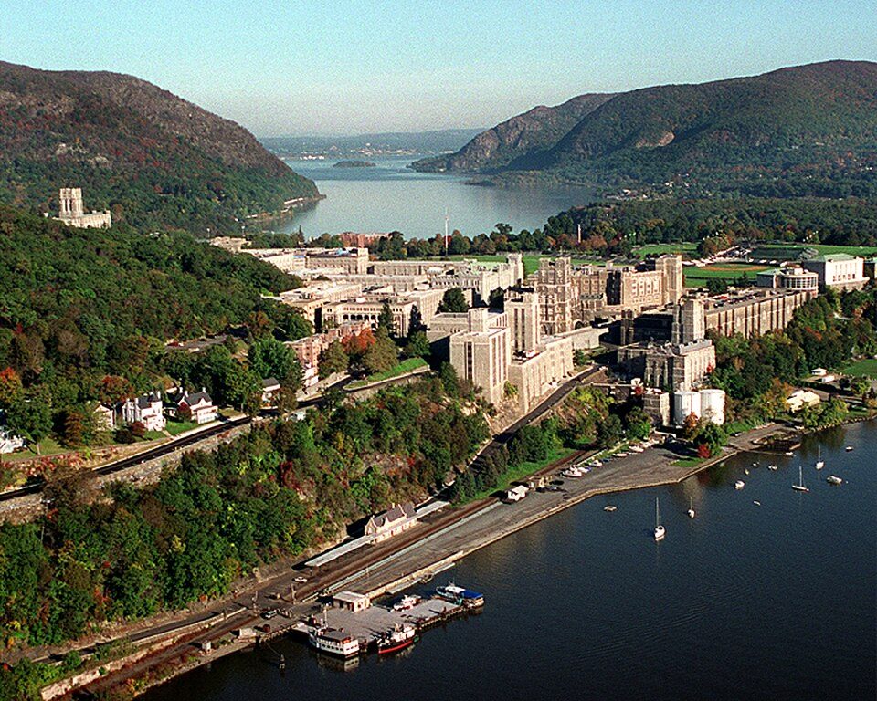 Big draw36 mi MuseumUnited States Military Academy
 16 mi Stadium & arenaYale Bowl
 36 mi LandmarkFerncliff Cemetery
 16 mi LakeCandlewood Lake
 19 mi MuseumGlass House
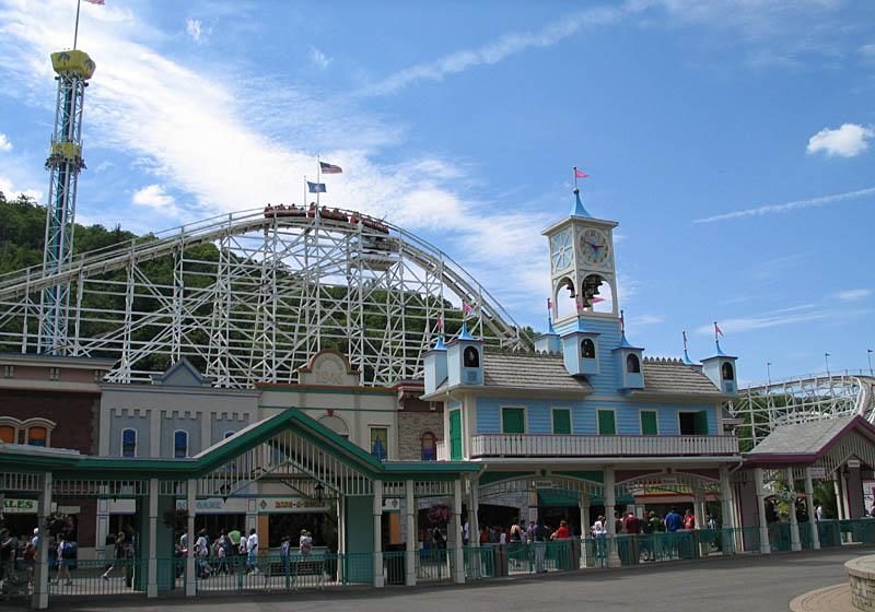 28 mi Theme parkLake Compounce
United States Military Academy: USMA Public Affairs Office, Public domain · Yale Bowl: Kenneth Zirkel, CC BY-SA 4.0 · Ferncliff Cemetery: Anthony22 at English Wikipedia, CC BY-SA 3.0 · Candlewood Lake: Carol M. Highsmith, Public domain · Glass House: Carol M. Highsmith, Public domain · Lake Compounce: Wildcat1 at English Wikipedia, Public domain
Stepney is unincorporated, so Fairfield County and regional agencies provide most services.
EPA SDWIS (Oct 9, 2026) · HIFLD + EIA-861 2025 · Census 2020 ZCTAs · NCES 2024–25 · registration: vote.gov, updated Sep 30, 2026.
Ordered by what stands out in Stepney.
In July, afternoons reach 84°; in January, nights fall to 19°, and about 49 inches of snow falls in a winter.
NOAA U.S. Climate Normals, 1991–2020
For Stepney, the FEMA hazard score is 33 of 100. Expected losses in Stepney break down as 58% from inland flooding and 28% from hurricanes.
FEMA National Risk Index · OpenFEMA
Parks and preserves in Stepney: 2, covering 62 acres.
| Biggest places to walk | Trails | Acres |
|---|---|---|
| 1. Ywca Of Greater Bridgeport | — | 61 |
| 2. Stepney Green | — | 1 |
Trails & parks © OpenStreetMap contributors · Conserved land: USGS PAD-US
For half of commuters, work is under 13 miles away. Employers in Stepney shed 326 jobs between 2013 and 2023, to 2,125. The typical household income for Stepney comes to $154,000. Only 7 of the 156 Connecticut towns we compare have a higher typical journey to work than Stepney.
| Stepney | Connecticut towns | U.S. towns | |
|---|---|---|---|
| Average trip to work | 37 minutes | 27 minutes | 25 minutes |
| Median household income | $154,000 | $109,000 | $80,000 |
| Work from home | 9.8% | 16% | 11% |
| Working residents who work in town | 5.2% | 11% | 8% |
Census LEHD 2023 · ACS
The share of adults in Stepney who sleep under 7 hours: 31%. The town beats the Connecticut average on 24 of 32 CDC measures and trails it on 1. 6.9% of adults in Stepney smoke cigarettes; 18% have been diagnosed with depression. Among 155 Connecticut towns, just 7 have a lower share of adults who have high blood pressure than Stepney.
| Stepney | Connecticut towns | U.S. towns | |
|---|---|---|---|
| Obesity (CDC PLACES) | 23% | 30% | 35% |
| Smoke cigarettes (CDC PLACES) | 6.9% | 9.7% | 14% |
| Depression (CDC PLACES) | 18% | 22% | 23% |
| Frequent mental distress (CDC PLACES) | 13% | 15% | 17% |
| What stands out | Stepney | CT |
|---|---|---|
| Fewer adults facing food insecurity | 6.8% | 14.9% |
| Fewer adults facing a utility shut-off | 4.2% | 8.4% |
| More adults who have had cancer | 9.7% | 8.5% |
CDC PLACES 2025 · modeled estimates for adults · CMS · HRSA
Zillow Home Value Index · Redfin Data Center
5 within 15 miles of the center of Stepney
About 10 of every 100 Stepney residents are enrolled in college, against 7 across Connecticut.
Census-designated place in Connecticut, United States
Stepney, also referred to as Stepney Village and Upper Stepney, is a district of the town of Monroe, Connecticut, United States and is on the Connecticut State Register of Historic Places. As of the 2020 census, Stepney had a population of 4,280. Consisting of approximately 8 square miles (21 km2), Stepney extends from the Trumbull town line, along Route 25, to the Newtown town line. It was listed as a census-designated place prior to the 2020 census. First settled circa 1720, Stepney was originally a productive farming community made up of transplants from settlements to the south such as Fairfield and Stratford. In the early 19th century, Stepney became a transportation hub for travelers …
From Wikipedia, licensed CC BY-SA 4.0 · facts via Wikidata (CC0)
6 towns share a border with Stepney.
| Town | CT rank | Overall | Cost | Safety | Schools | Health |
|---|---|---|---|---|---|---|
| Stepney | — | — | — | — | — | — |
| Monroe | #1 | A+ | B | A | A | A+ |
| Easton | #5 | A+ | D | A | A+ | A+ |
| Newtown | #61 | B+ | D | — | A− | A+ |
| Trumbull | #66 | B+ | D | C+ | A− | A+ |
| Tashua | — | — | — | — | — | — |
| Botsford | — | — | — | — | — | — |
Newtown reports no FBI crime data of its own. Stepney, Tashua and Botsford aren’t graded (fewer than 1,000 residents, or not enough data). Compare Stepney with a neighbor →
Short answers, built from the data on this page.
We don’t grade Stepney yet; the figures below are still real.


