Moosup is named after Sachem Maussup or Moosup (1623–1676) of the Narragansett Indians. The town was established in 1689 a little more than a decade after Maussup's death at the hands of Mohawks.
Passages that mention Moosup, cut from the printed page as they were published.
History of Windham County, Connecticut ..1889 · page 932Read the page →
Read the text
In 1749 a road was laid out in the south part of the town, to accommodate the inhabitants traveling to the south meeting house, beginning on Voluntown line, "near the road now laid to the saw mill standing on Moosup," and extending to the bridge over Whetstone brook. A bridle road was also laid out from Daniel Waters' to the south meeting house, and the road over
Text read by machine from the scan; it may contain errors.
A Modern History of Windham County, Connecticut1920 · page 1556Read the page →
Read the text
in Providence, Rhode Island, where he found employment in the woolen mills. After a year, however, he removed to Fall River, Massachusetts, where he spent three years and then returned to Providence. In 1887 he and his family became residents of Moosup, Connecticut, where he secured employment in the weaving room of the mills of the Aldrich-Milner Manufacturing Company. In 1891 he retired from that field of activity and purchased a splendidly improved farm of one hundred and fifty acres near the village of Moosup, in the town of Plainfield, the place being known as the Hezekiah French farm. At the time Mr. Mortimer purchased the property, it was owned by
Text read by machine from the scan; it may contain errors.
A Modern History of Windham County, Connecticut1920 · page 1231Read the page →
Read the text
the summer of 1919 he had accumulated sufficient money to return to Windham county and make investment in land. On the 15th of August, therefore, he btfught the highly improved farm of one hundred and fifty acres owned by George E. Mortimer and located near the village of Moosup, in the town of Plainfleld. He has recently established his family upon this farm and is making every plan to carefully, systematically and intelligently develop and improve the property. This is one of the excellent farms of the town of Plainfleld and anyone knowing Mr. Cournoyer and his industrious and ambitious nature will have no reason to doubt the outcome of his labors as an agriculturist
Text read by machine from the scan; it may contain errors.
History of Windham County, Connecticut ..1889 · page 443Read the page →
Read the text
A bridge over Moosup nver, by Kingsbury's mill, was built by Samuel Spalding in 1729. In 1737 a committee was appointed to act in conjunction with Canterbury in rebuilding the broken down bridge between the two towns. Canterbury preferring to build a new one rather than repair the damaged one, Plainfield ordered a new road laid out to reach the new site, which was nearly opposite to Captain Butts' place. William Deane was granted permission to make a dam across Moosup river about
Text read by machine from the scan; it may contain errors.
Scans and text from the Internet Archive. Books published in 1930 or earlier, which are in the public domain.
By decade
Moosup, decade by decade
One decade in the archive so far: the 1910s. Scroll each row; tap a photo for its story.
Nothing in the archives for these yearsWeddings on Main Street, storms, parades, school pictures, the old store. If it’s in your family album, it belongs here.
Fire insurance maps drew every building, what it was made of and what it was used for, so insurers could price the risk of fire. Pick a year, then a sheet.
Founding dates: Wikidata, Wikipedia, the U.S. post office records of Blevins & Helbock (CC0) and the Census. Homes by year built: Census ACS 2020–24. National Register of Historic Places: National Park Service (list of May 22, 2026). Old photos, postcards and papers: Wikimedia Commons, the Library of Congress and other public archives, credited on each item’s page. Maps: U.S. Geological Survey historical topographic maps (via Esri) and Sanborn fire-insurance maps (Library of Congress). History text and census tables: Wikipedia (CC BY-SA 4.0). Places that used to be: USGS Geographic Names Information System (2021). How TownRatings grades history →
From Wikimedia Commons (13), Wikipedia, U.S. Geological Survey historical maps, Sanborn fire insurance maps (Library of Congress) and old county and town histories (Internet Archive). Archive images are copied here with their credits and licenses, shown on each photo’s page. Refreshed monthly.
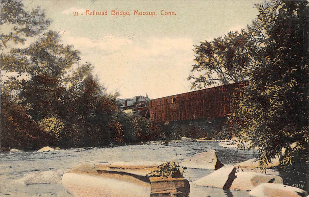




 2025
 2022
 2020
 2020
 2020
 2019
 2017
 2017
 2017
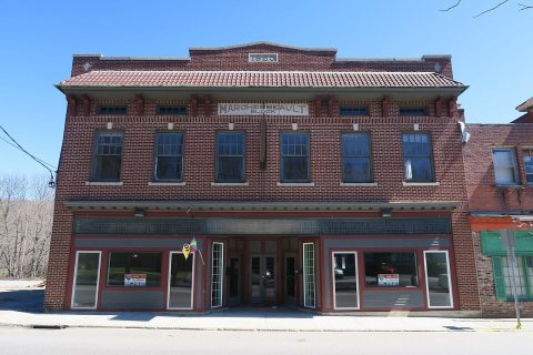 2017
 2015
 2008
