
Georgetown, Fairfield County, Connecticut, Clark 1856, 1856
Georgetown’s story
174 years in pictures
The archive holds 6 old photos and papers going back to 1856.
- 1852Georgetown is settled
Each edition grades its towns against each other only.
Georgetown’s median household income is $181,000, against $109,000 in Connecticut’s towns and $80,000 across U.S. towns. Of the 156 Connecticut towns we compare, none has a lower share of residents below the poverty line than Georgetown. Georgetown’s trail density is 0.3 miles per square mile, against 1.3 in Connecticut’s towns and 0.4 across U.S. towns. The biggest park or preserve is Mather Street Open Space, at 69 acres. We don’t grade Georgetown yet; the figures below are still real.
Where Georgetown beats most towns.
The archive holds 6 old photos and papers going back to 1856.
Museums, parks, gardens and other places to visit around Georgetown. Close and well known come first.
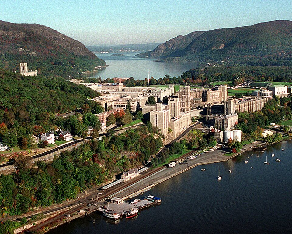 Big draw29 mi MuseumUnited States Military Academy
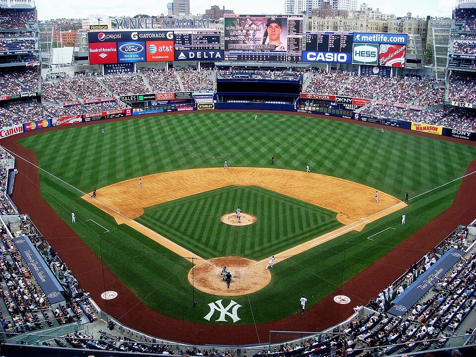 Big draw38 mi Stadium & arenaYankee Stadium
 Big draw40 mi Stadium & arenaCiti Field
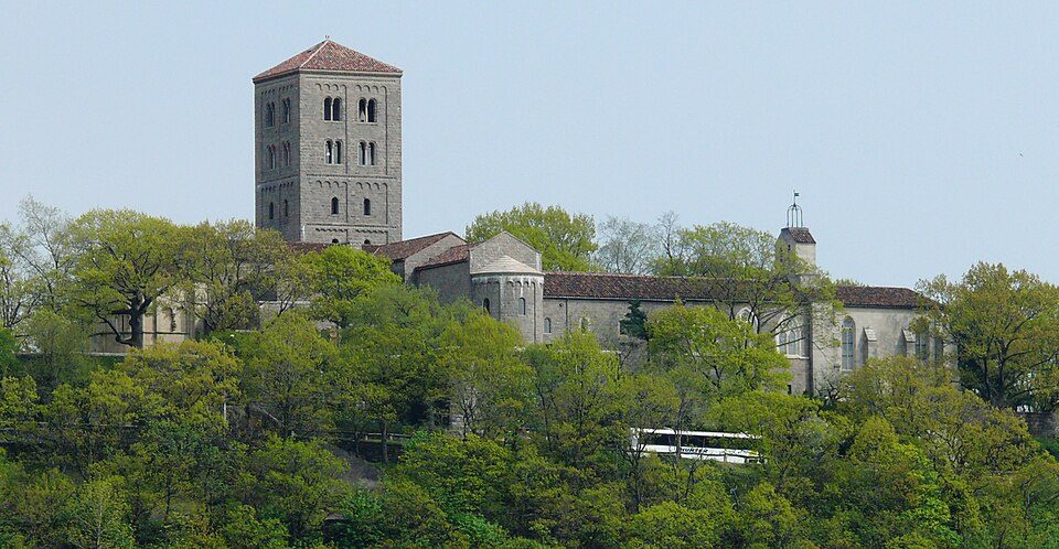 Big draw37 mi MuseumThe Cloisters
 25 mi LandmarkFerncliff Cemetery
 Big draw40 mi Stadium & arenaEtihad Park
United States Military Academy: USMA Public Affairs Office, Public domain · Yankee Stadium: Matt Boulton, CC BY-SA 2.0 · Citi Field: Chris6d, CC BY-SA 4.0 · The Cloisters: Paweł Drozd on Wiki Drozdpl cropped by Beyond My Ken (talk) 17:05, 27 December 2, CC BY-SA 3.0 · Ferncliff Cemetery: Anthony22 at English Wikipedia, CC BY-SA 3.0 · Etihad Park: Bananza76, CC0
Georgetown is unincorporated, so Fairfield County and regional agencies provide most services.
EPA SDWIS (Oct 9, 2026) · HIFLD + EIA-861 2025 · Census 2020 ZCTAs · NCES 2024–25 · registration: vote.gov, updated Sep 30, 2026.
Ordered by what stands out in Georgetown.
Georgetown has chilly, snowy winters and warm summers, with plenty of rain. July afternoons reach 84°, January nights drop to 20° and about 49 inches of snow falls in a winter.
NOAA U.S. Climate Normals, 1991–2020
Since 2013, Georgetown has added 132 jobs, to 900 in 2023. 2% of Georgetown working residents work locally. The top destinations are New York (15%), Stamford (14%) and Wilton (11%).
| Georgetown | Connecticut towns | U.S. towns | |
|---|---|---|---|
| Average trip to work | 33 minutes | 27 minutes | 25 minutes |
| Working residents who work in town | 2% | 11% | 8% |
Census LEHD 2023 · ACS
0.8 miles of trail in 6 parks and preserves.
| Biggest places to walk | Trails | Acres |
|---|---|---|
| 1. Weston-Wilton Forest Reserve | 0.3 mi | 67 |
| 2. Weir Farm National Historic Site | 0.3 mi | 22 |
| 3. Mather Street Open Space | — | 69 |
Trails & parks © OpenStreetMap contributors · Conserved land: USGS PAD-US
25% of adults have high blood pressure in Georgetown. Among 155 Connecticut towns, just 2 have a lower share of adults who have diabetes than Georgetown. 22% of adults have obesity in Georgetown.
| Georgetown | Connecticut towns | U.S. towns | |
|---|---|---|---|
| Obesity (CDC PLACES) | 22% | 30% | 35% |
| High blood pressure (CDC PLACES) | 25% | 33% | 35% |
| Frequent physical distress (CDC PLACES) | 9.1% | 12% | 14% |
| Diabetes (CDC PLACES) | 6.7% | 9.4% | 12% |
| What stands out | Georgetown | CT |
|---|---|---|
| Fewer adults facing food insecurity | 6.7% | 14.9% |
| Fewer adults facing a utility shut-off | 4.1% | 8.4% |
| More binge drinkers | 17.9% | 15.4% |
CDC PLACES 2025 · modeled estimates for adults · CMS · HRSA
Expected storm and flood damage is lower than in 51% of U.S. communities.
FEMA National Risk Index · OpenFEMA
Zillow Home Value Index · Redfin Data Center
6 within 15 miles of the center of Georgetown
About 5 of every 100 Georgetown residents are enrolled in college, against 7 across Connecticut.
Census-designated place in Connecticut, United States
Georgetown is a census-designated place in Fairfield County, Connecticut, United States. It is located in the area where the towns of Wilton, Redding and Weston meet. Prior to a 1950 vote, Branchville, a neighborhood in the town of Ridgefield, was also included as part of Georgetown; some Branchville residents still share the Georgetown 544 area code. Georgetown and its surrounding area are also defined as the Georgetown census-designated place (CDP). As of the 2020 census, the population of the CDP was 1,832. Georgetown is located at the southwest corner of the town of Redding, the northwest corner of the town of Weston, and the northeast corner of the town of Wilton. Georgetown residents …
From Wikipedia, licensed CC BY-SA 4.0 · facts via Wikidata (CC0)
4 towns share a border with Georgetown.
| Town | CT rank | Overall | Cost | Safety | Schools | Health |
|---|---|---|---|---|---|---|
| Georgetown | — | — | — | — | — | — |
| Wilton | #3 | A+ | C− | A | A | A+ |
| Ridgefield | #2 | A+ | D | A+ | A | A+ |
| Branchville | — | — | — | — | — | — |
| Weston | #8 | A+ | D− | A+ | A | A+ |
Georgetown and Branchville aren’t graded (fewer than 1,000 residents, or not enough data). Compare Georgetown with a neighbor →
Short answers, built from the data on this page.
We don’t grade Georgetown yet; the figures below are still real.


