Wikipedia doesn’t have a history of Bantam yet. The photos, dates and memories neighbors add here are how it gets written.
Bantam is a borough in Litchfield County, Connecticut, United States. The population was 720 at the 2020 census. It is part of the town of Litchfield. On July 10, 1989, many of the buildings in Bantam were heavily damaged by a tornado that ripped through Litchfield and New Haven Counties. The storm also caused considerable damage to the Litchfield County town of Thomaston, and to the New Haven County towns of Waterbury, Hamden and North Haven.
Its first post office opened in 1884. Between the 2010 and 2020 censuses its population fell from 759 to 720 (-5%).
Intro from Wikipedia. Population: U.S. Census Bureau.
From the old history books
What they wrote about Bantam in 1881
Passages that mention Bantam, cut from the printed page as they were published.
History of Litchfield county, Connecticut1881 · page 323Read the page →
Read the text
late Isaac Wadhams stands in the central part of the Squires Farm. But at the time of this survey the town had not been laid out by government, and was denominated Western Lands, or New Bantam, the Assembly not regarding at all the laying out of the town by Hartford and Windsor in 1722. But at their session in May, 1731, they enacted that their Western lands should be laid out into five townships, and ap-
Text read by machine from the scan; it may contain errors.
History of Litchfield county, Connecticut1881 · page 152Read the page →
Read the text
Under the original grant this section was called Bantam, and was incorporated as the town of Litchfield in 1724. The record of what appears to be the first town-meeting has no date. At this meeting a committee, consisting of John Buel and Nathaniel Smith, was appointed to hire a minister.
Text read by machine from the scan; it may contain errors.
Scans and text from the Internet Archive. Books published in 1930 or earlier, which are in the public domain.
Timeline
Bantam, 1802 to 1942
Woven from the archive, old maps, post office records, the National Register and the people born here.
Nothing in the archives for these yearsWeddings on Main Street, storms, parades, school pictures, the old store. If it’s in your family album, it belongs here.
Founding dates: Wikidata, Wikipedia, the U.S. post office records of Blevins & Helbock (CC0) and the Census. Homes by year built: Census ACS 2020–24. National Register of Historic Places: National Park Service (list of May 22, 2026). Old photos, postcards and papers: Wikimedia Commons, the Library of Congress and other public archives, credited on each item’s page. Maps: U.S. Geological Survey historical topographic maps (via Esri) and Sanborn fire-insurance maps (Library of Congress). History text and census tables: Wikipedia (CC BY-SA 4.0). Places that used to be: USGS Geographic Names Information System (2021). How TownRatings grades history →
From Wikimedia Commons (1), the Library of Congress (5), Wikidata and Wikipedia for famous people and old county and town histories (Internet Archive). Archive images are copied here with their credits and licenses, shown on each photo’s page. Refreshed monthly.


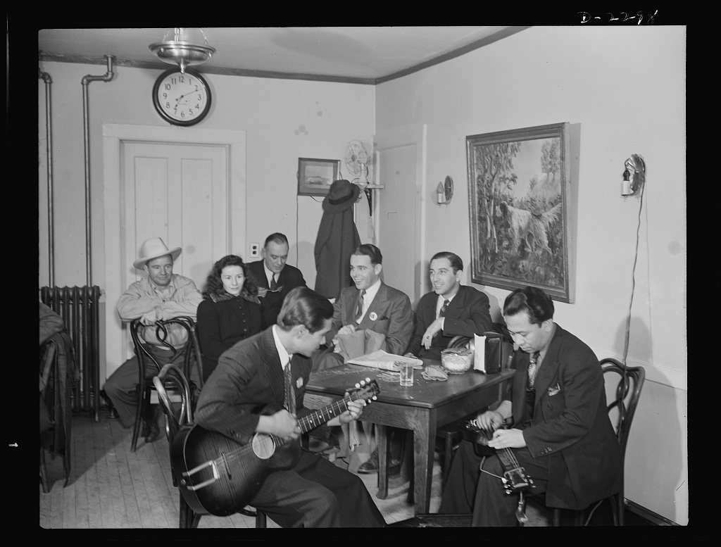


 1942
 1942
 1942
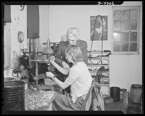 1942