Ward dates to 1860, and 62% of its homes were built before 1940
Its Register listings are the Ward School, the Modoc Mill and the Ward Congregational Church. Below: 6 old photos and papers, maps from 1957 on, and the census since 1890.
The town was named for Calvin Ward, who prospected a claim in 1860 on the site known as Miser's Dream. The town boomed the following year with the discovery by Cyrus W. Deardorff of the Columbia vein. Over the next several decades the population fluctuated, growing from several hundred to several thousand before declining once again. The mines in the area remained profitable for many decades, with one mine eventually producing over 2 million troy ounces (62 t) of silver. A post office with the name Ward District was established January 13, 1863; the name was changed to Ward, September 11, 1894. The city was incorporated in June 1896. The railroad reached the area in 1898, arriving over the Whiplash and Switzerland Trail, which climbed over 4,000 feet (1,200 m) from Boulder over the course of 26 miles (42 km). In January 1900 over 50 buildings were destroyed by a devastating fire, altho…
Nothing in the archives for these yearsWeddings on Main Street, storms, parades, school pictures, the old store. If it’s in your family album, it belongs here.
National Park Service, National Register of Historic Places. Photos from Wikimedia Commons, credited on each place’s page.
Places that used to be
Places now gone
Ward’s post office has been open since 1894.
Gone or out of use
Alaska TunnelmineAlcyone MinemineBig Five MinemineBoston MinemineBuena Ventura MinemineDavid Owen MinemineEldorado QuarrymineGlen Clover MinemineGreat Western MinemineHarms MinemineHelen B MinemineIdeal Number Two MinemineLeft Hand Peat Company MinemineMadredoro MinemineManyon MinemineMoon MinemineMountain Squaw MinemineN R A Minemine
US Post Offices dataset (Blevins & Helbock, CC0). Places and cemeteries from the USGS Geographic Names Information System (2021).
Help out
Finish Ward’s story
Most archives stop around 1920. The photos from after that are in family albums, not libraries.
Decades since 1900 with photos
00s10s20s30s40s50s60s70s80s90s
1 of 10 decades. The empty ones are waiting for someone’s album.
Founding dates: Wikidata, Wikipedia, the U.S. post office records of Blevins & Helbock (CC0) and the Census. Homes by year built: Census ACS 2020–24. National Register of Historic Places: National Park Service (list of May 22, 2026). Old photos, postcards and papers: Wikimedia Commons, the Library of Congress and other public archives, credited on each item’s page. Maps: U.S. Geological Survey historical topographic maps (via Esri) and Sanborn fire-insurance maps (Library of Congress). History text and census tables: Wikipedia (CC BY-SA 4.0). Places that used to be: USGS Geographic Names Information System (2021). How TownRatings grades history →
From Wikimedia Commons (14), Wikidata (1), the National Register of Historic Places (3), Wikipedia, U.S. Geological Survey historical maps, U.S. Census counts (via Wikipedia), the US Post Offices dataset (Blevins & Helbock) and the USGS Geographic Names Information System. Archive images are copied here with their credits and licenses, shown on each photo’s page. Refreshed monthly.


 1983
 1983
 1983
 1983
 1983
 2016
 2009
 2008
 2005
 2005
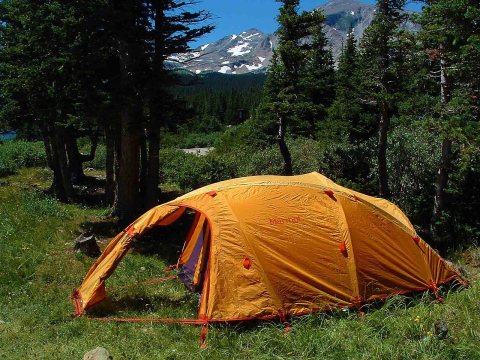 2002
 2002
 2002


