Front Range Lighthouse
Also known as Lighttower - Front Range
About Front Range Lighthouse
The federal government recognizes Front Range Lighthouse for its heritage, one of 5 such buildings in St. Catharines. By its record, Front Range Lighthouse was built in 1879–1881. Its maker on the record: Department of Marine, Canada.
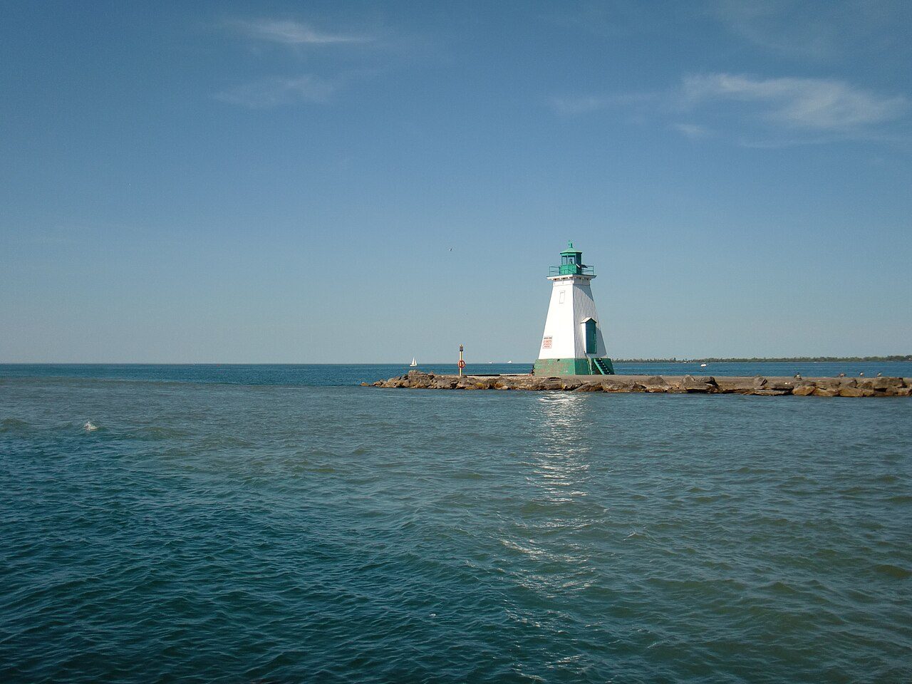
The Front Range Lighthouse is prominently situated at the end of a water swept concrete pier, one of a pair of lighthouses that forms the harbour entrance at Port Dalhousie, Lake Ontario. It is a sturdy, square, wooden lighthouse with a substantial bracketed platform enclosed by a pipe railing and crowned by an octagonal metal lantern. The windows are flush with the wall surface. Decorated with a pediment, the entranceway extends from the exterior wall. The designation is confined to the footprint of the building.
From the Canadian Register of Historic Places, Front Range Lighthouse · Open Government Licence – Canada · as published, word for word
Recognized is one of two ranks the federal government gives the heritage buildings it owns; Classified is the higher.
Finding Front Range Lighthouse
St. Catharines


No other historic place stands within a short walk; the town’s others are farther afield.
Questions about Front Range Lighthouse
When was Front Range Lighthouse built?
Front Range Lighthouse went up in 1879–1881, by its record.
Is Front Range Lighthouse protected?
The federal heritage policy applies while Canada owns it.
What is Front Range Lighthouse?
Front Range Lighthouse became a Recognized Federal Heritage Building in 1989.
Can you visit Front Range Lighthouse?
You can see it from the street, while entry depends on its current use.
Contains information licensed under the Open Government Licence – Canada (Parks Canada).
Sources: Parks Canada, Directory of Federal Heritage Designations · Canadian Register of Historic Places (federal extract) · Photos: Wikimedia Commons, each credited with its licence and copied to our own server · Wikidata (CC0) for map points, other names and articles.
Adapted from Statistics Canada (Census of Population 2021, population estimates 2025, 2021 census boundaries) under the Statistics Canada Open Licence; this does not constitute an endorsement by Statistics Canada. Neighbourhood names in some cities © OpenStreetMap contributors (ODbL).